Canyon · Zaorejas
Barranco del Ciño Negro (Zaorejas)
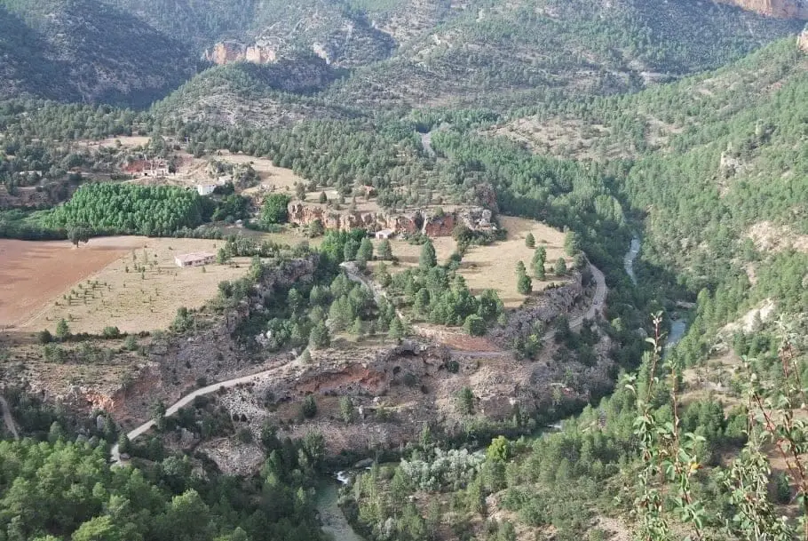
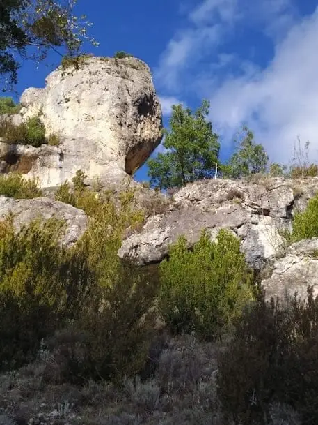
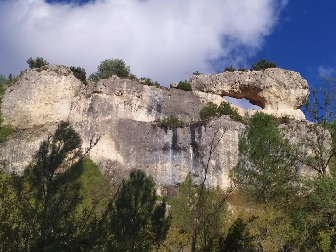
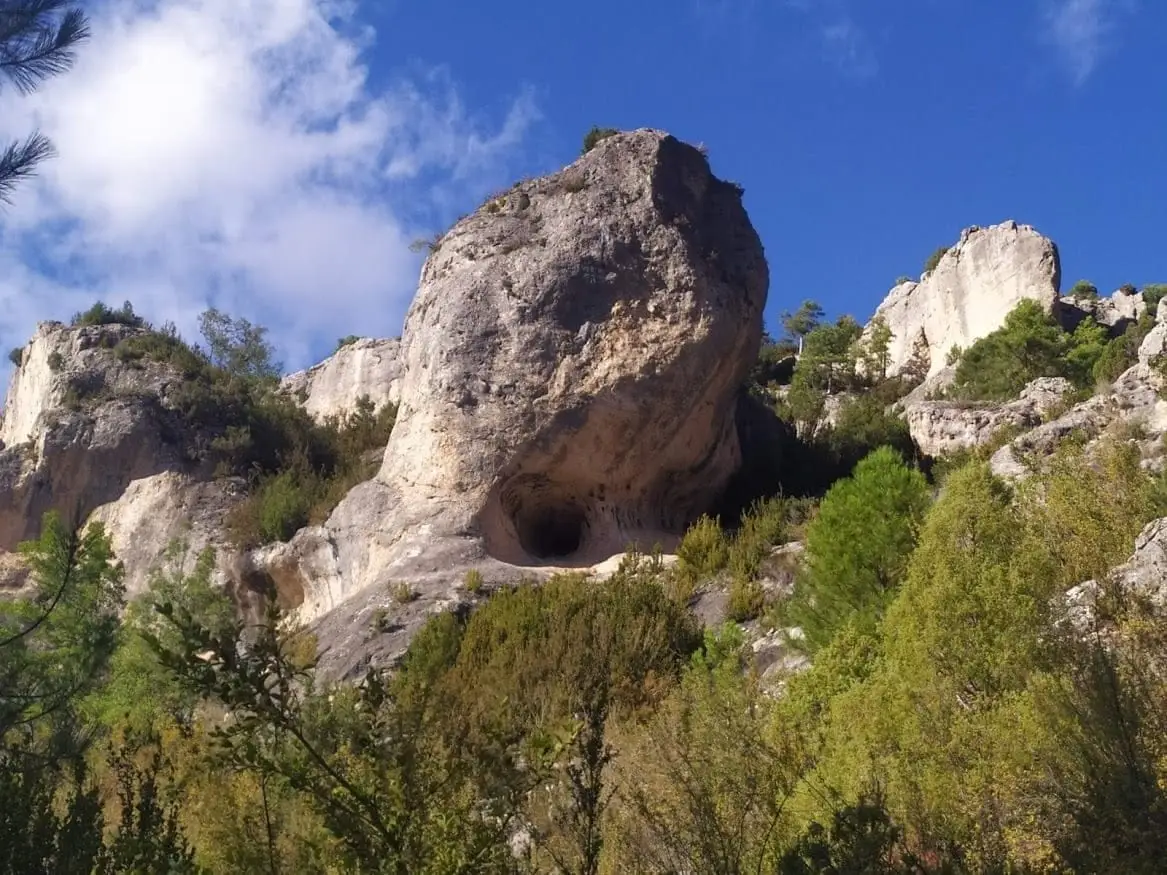
Barranco del Ciño Negro in Zaorejas is one of the wildest, most secluded canyons in the Park. Carved in limestone, it features rounded forms, hollows, spires, rock bridges, and pinnacles, with cliffs full of rock-dwelling birds. Its resurgence feeds La Escaleruela.
Lands and landscapes
From here, follow the memory of the territory
These readings connect Barranco del Ciño Negro (Zaorejas) with the history, work, and villages around it.
- Municipality
- Zaorejas
- Province
- Guadalajara
- Altitude
- 1,087 m
- Secluded
- Pinnacles and rock arches
- Rock-dwelling birds
- Feeds La Escaleruela
A hidden gorge
Entering Ciño Negro feels like stepping into another world: a small plateau enclosed by towering limestone walls weathered into rounded outlines, hollows, isolated rock towers, natural arches, and pinnacles, typical of the rock cities of Guadalajara and Cuenca.
Wildlife and water
The cliff walls are home to rock-dwelling birds nesting in fissures. Along the floor runs a stream rising from a turquoise resurgence; when water flow is sufficient, it plunges down the waterfall of La Escaleruela.
Photo: El Observario
Location
● Reference point · ● Villages · ● Places
Location diagram. Detailed map with tracks and names loads on zoom.
Reference villages: Zaorejas · Villar de Cobeta · Cuevas Labradas · Buenafuente del Sistal.
Open the full map and historical layers →