Place · Traíd
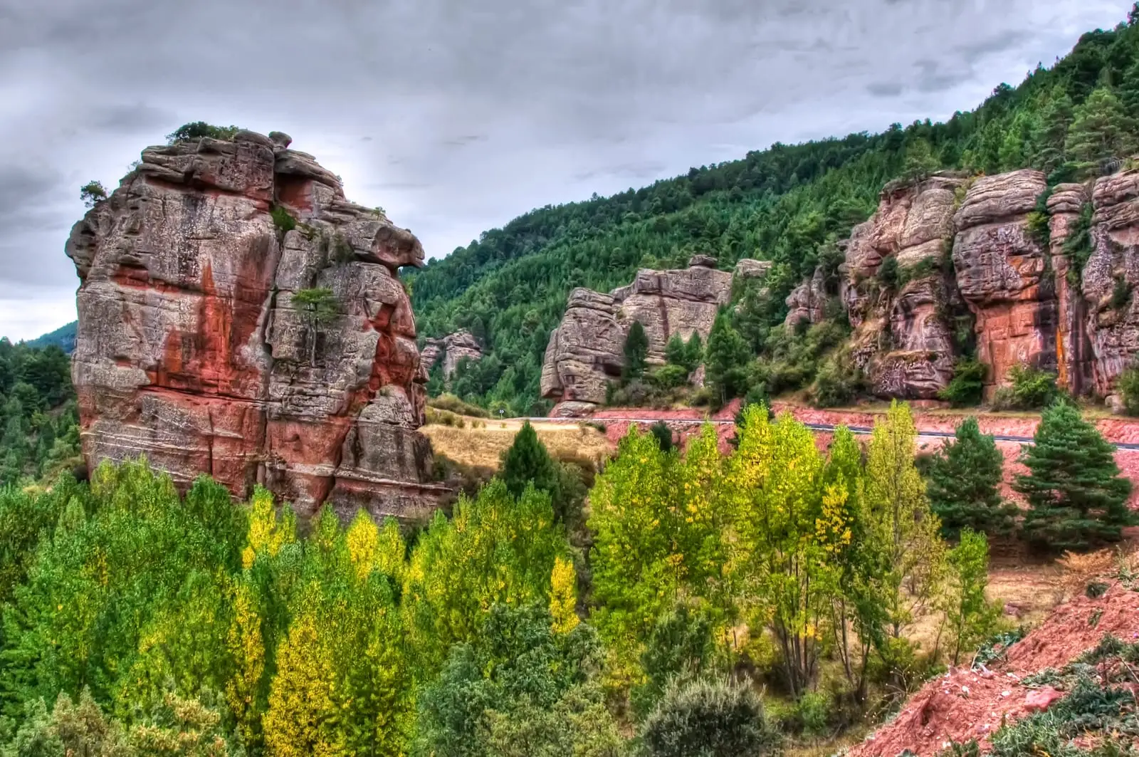
Montes de Picaza: 15,000 hectares of protected forest
The Montes de Picaza is a protected reserve of some 15,000 hectares in eastern Guadalajara, on the high plains of the Señorío de Molina, noted for its fine continuous forests. Its highest point is El Torrejón at 1,466 metres; other peaks include Cerro de San Antón, El Francés, El Matilla, and Rocho del Tío Braulio.
Lands and landscapes
From here, follow the memory of the territory
These readings connect Montes de Picaza: 15,000 hectares of protected forest with the history, work, and villages around it.
- Municipality
- Traíd
- Province
- Guadalajara
- Altitude
- 1,420 m
- 15,000 ha
- Torrejón (1,466 m)
- Forest stands
- Señorío de Molina
A vast woodland on the high plain
Rising above the plains of the Señorío de Molina, the Montes de Picaza stand out for the richness of their forests and their ecological value. The terrain is higher in the south than in the north, with rolling hills rising less than 200 metres above the plateau.
Summits
El Torrejón (1,466 m), Cerro de San Antón (1,437 m), El Francés (1,432 m), El Matilla (1,381 m), and Rocho del Tío Braulio (1,342 m). Located near Traíd.
Location
● Reference point · ● Villages · ● Places
Location diagram. Detailed map with tracks and names loads on zoom.
Reference villages: Traíd · Pinilla de Molina · Torrecuadrada de Molina · Terzaga.
Open the full map and historical layers →