Village · Guadalajara · 1,170 m
Torremochuela
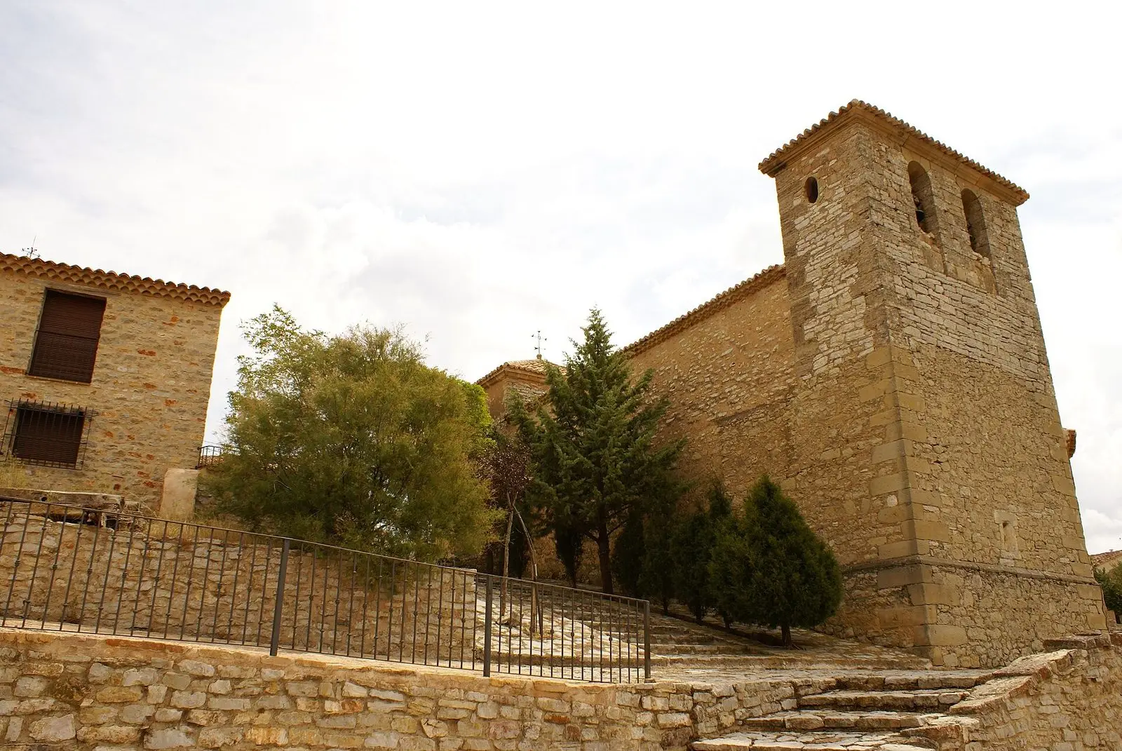
Torremochuela, at 1,170 metres near Molina de Aragón, had six inhabitants in 2025, tying as Spain's least populated municipality. In 1950 over 200 lived here. In August its annual celebrations bring together nearly two hundred people.
Six residents
According to the 2025 municipal census, Torremochuela had six inhabitants, tying with Villanueva de Gormaz in Soria as the least populated municipality in Spain. In 1950 more than two hundred people lived here. Few population curves tell the depopulation of the Señorío more clearly, as recounted in The depopulated villages.
Not deserted
The town council has invested in keeping it alive with community amenities: a paddle tennis court, a portable bar counter, a bus stop. And in August, around the first weekend, the festivities bring together close to two hundred people, with music at night and a community banquet prepared with vegetables from local gardens.
Nearby
Torrecuadrada de Molina, three kilometres away; Prados Redondos and Castilnuevo, with its castle.
Near Torremochuela
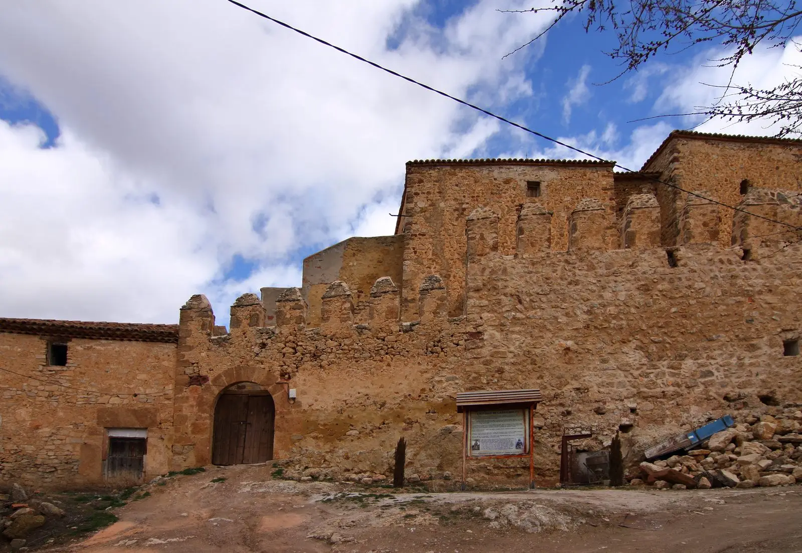
Castle of Castilnuevo: from fortress to palatial manor
CastilnuevoCastro de La Coronilla (Chera): an excavated Celtiberian hillfort
Chera
Montes de Picaza: 15,000 hectares of protected forest
TraídFortified house of La Bujeda (Traíd)
TraídCastro de El Castillejo (Anquela del Pedregal): two enclosures upon a hill
Anquela del Pedregal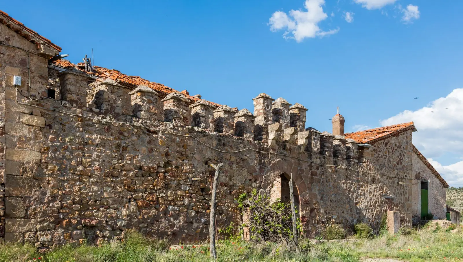
Fortified house of Vega de Arias (Tierzo): Casa del Cid
Tierzo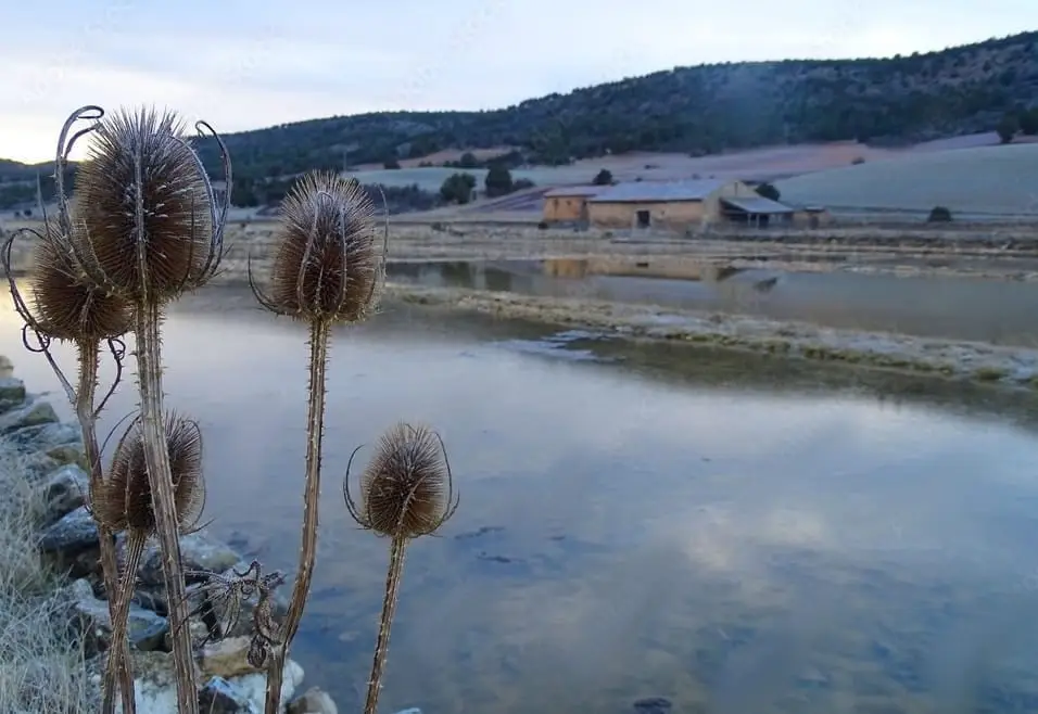
Armallá Salt Pans (Tierzo): Salt of the Señorío Since Roman Times
Tierzo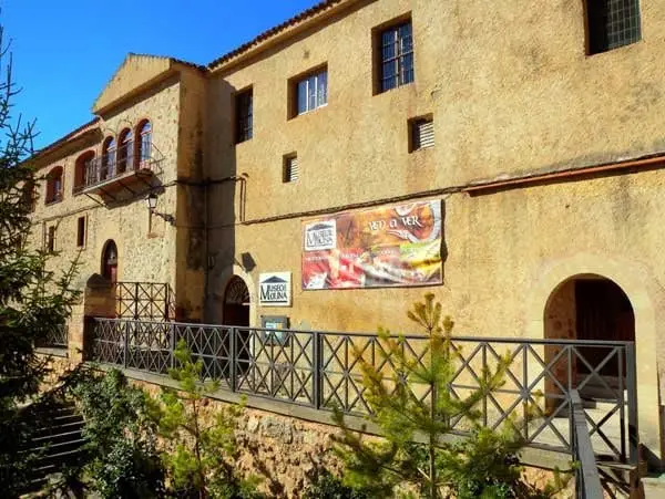
Regional Museum of Molina de Aragón (San Francisco Convent)
Molina de AragónPopulation of Torremochuela, 1842–2021
Torremochuela reached a peak of 227 inhabitants in 1887 . In the 2021 census there were 8 , a decrease of 96%. This is the history told in the emptying of the Alto Tajo.
Climate in Torremochuela month by month
2015–2024 averages from Copernicus ERA5 reanalysis for an altitude of approx. 1,170 m. Useful for planning, not a substitute for live forecasts.
Location
● Reference point · ● Villages · ● Places
Location diagram. Detailed map with tracks and names loads on zoom.
Reference villages: Torrecuadrada de Molina · Prados Redondos · Castilnuevo · Chera.
Open the full map and historical layers →