Village · Guadalajara · 1,186 m
Torrecuadrada de Molina
Torrecuadrada de Molina, at 1,190 metres, sits between cereal plateau to the north and oak and juniper woodland to the south. It preserves a crenellated tower, the Casa de la Moneda, and Purísima Concepción church.
Two landscapes
Torrecuadrada de Molina stands directly on the boundary between the paramera plateau and the mountain ridge. To the north stretch cereal fields; to the south, woodland rich in holm oaks, gall oaks, and junipers.
What to see
- A crenellated tower.
- The Casa del Señorazgo, known locally as Casa de la Moneda.
- The church of Purísima Concepción and the hermitage of La Soledad, built in 1985.
Curiously, of the square tower that supposedly gave the village its name, no trace remains.
A resilient village
In 1900 and in 1950 it had more than four hundred inhabitants; today there are about twenty. Nearby are Torremochuela, Prados Redondos, and Chera.
Near Torrecuadrada de Molina
Fortified house of La Bujeda (Traíd)
Traíd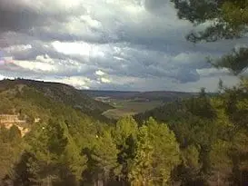
Montes de Picaza: 15,000 hectares of protected forest
TraídCastro de La Coronilla (Chera): an excavated Celtiberian hillfort
CheraCastro de El Castillejo (Anquela del Pedregal): two enclosures upon a hill
Anquela del Pedregal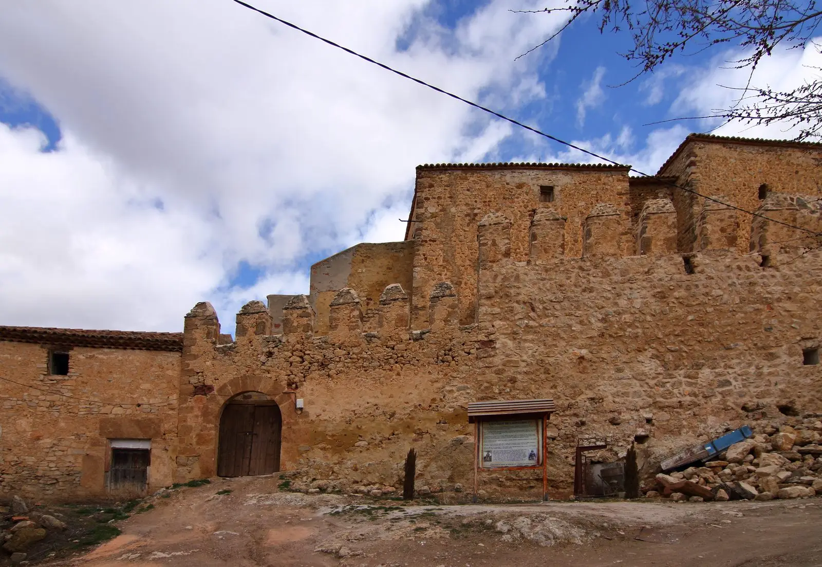
Castle of Castilnuevo: from fortress to palatial manor
CastilnuevoHermitage of the Virgen de la Carrasca: Romanesque in Sierra de Caldereros
Castellar de la MuelaWashhouse Black Poplar (Pinilla de Molina): largest catalogued poplar in the comarca
Pinilla de Molina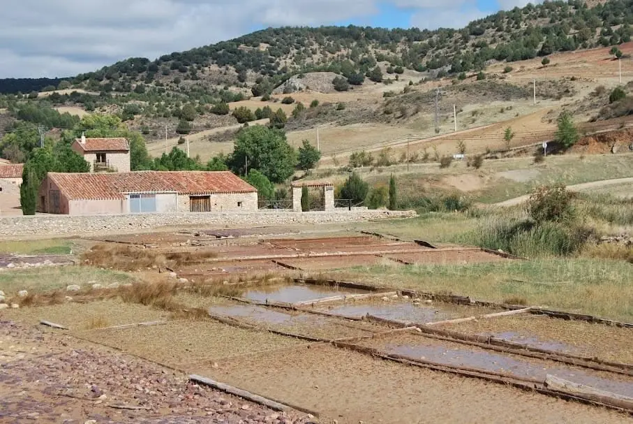
Terzaga Salt Pans: Medieval Salt on the Bullones River
TerzagaPopulation of Torrecuadrada de Molina, 1842–2021
Torrecuadrada de Molina reached a peak of 457 inhabitants in 1930 . In the 2021 census there were 17 , a decrease of 96%. This is the history told in the emptying of the Alto Tajo.
Climate in Torrecuadrada de Molina month by month
2015–2024 averages from Copernicus ERA5 reanalysis for an altitude of approx. 1,186 m. Useful for planning, not a substitute for live forecasts.
Location
● Reference point · ● Villages · ● Places
Location diagram. Detailed map with tracks and names loads on zoom.
Reference villages: Torremochuela · Prados Redondos · Chera · Anquela del Pedregal.
Open the full map and historical layers →