Heritage · Terzaga
Terzaga Salt Pans: Medieval Salt on the Bullones River
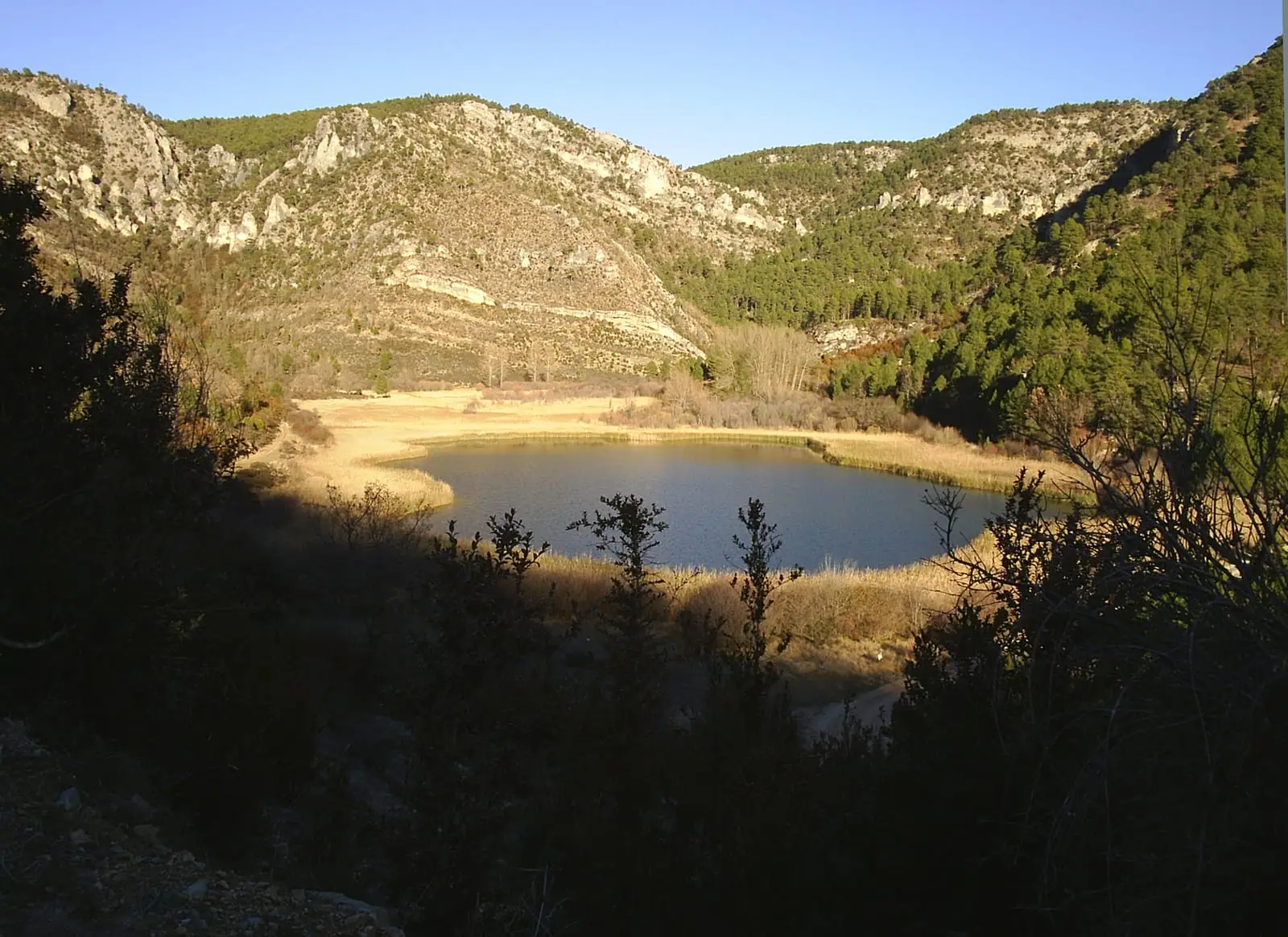
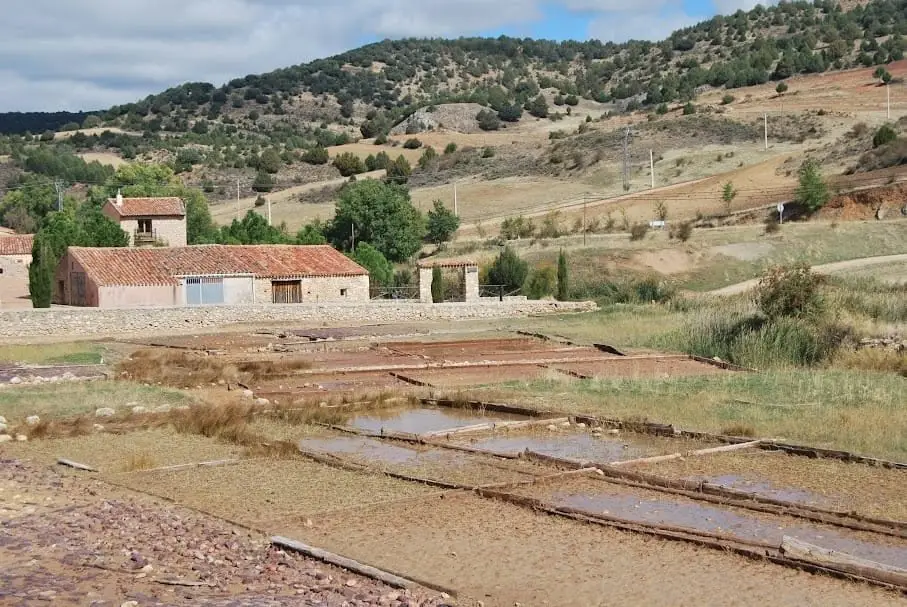
The Terzaga salt pans, beside the Bullones river, were exploited since the Middle Ages, when the lords of Lara began harnessing the area's salt, and remained active until the mid-20th century. Surviving remains date between the 12th and 15th centuries, part of the salt network that granted the Señorío de Molina much of its independence.
Rivers and basins
The thread of water from Terzaga Salt Pans: Medieval Salt on the Bullones River
Follow these watercourses towards their confluences, villages, and basin history.
This place across time
Which eras you can read here
A single place can preserve traces from different eras. These layers connect what you see with the stories in the atlas.
- Municipality
- Terzaga
- Province
- Guadalajara
- Altitude
- 1,178 m
- Middle Ages
- Lords of Lara
- Until mid-20th century
- Bullones river
Salt for independence
In the Middle Ages, salt was essential for human nutrition, food preservation, leather tanning, and livestock. The salt pans of the Señorío de Molina provided independent revenue and, with it, independence.
Terzaga
The lords of Lara began direct salt extraction at various points along the Bullones river. In Terzaga, surviving remains date between the 12th and 15th centuries, and exploitation remained active until the mid-20th century. It is in Terzaga.
Location
● Reference point · ● Villages · ● Places
Location diagram. Detailed map with tracks and names loads on zoom.
Reference villages: Terzaga · Pinilla de Molina · Taravilla · Baños de Tajo.
Open the full map and historical layers →More heritage: chapels, bridges and saltworks nearby
View all →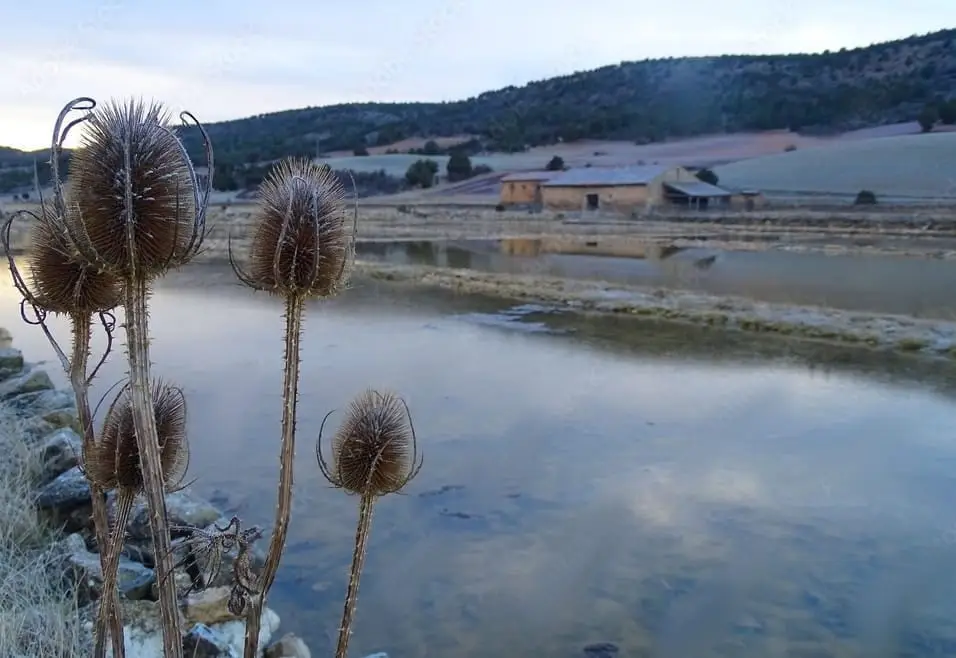
Nearby routes
All routes →
MTB route 2: the Tagus Viewpoints (Taravilla)
33 km · 4 h · Linear