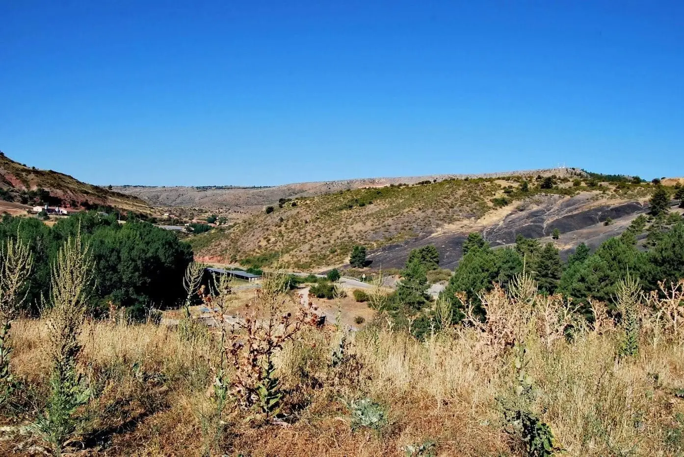
Forest · Alcoroches
Roble de la Sexma: where the Sierra representatives were elected
The Roble de la Sexma, or Campillo oak, about three kilometres from Alcoroches on the way to Traíd, commemorates meetings of the Sexma de la Sierra, one of the four historic districts of the Señorío de Molina. As recorded by physician Enrique Arauz, deputies and district officials were elected under its shade. A monument marks the spot.
Lands and landscapes
From here, follow the memory of the territory
These readings connect Roble de la Sexma: where the Sierra representatives were elected with the history, work, and villages around it.
This place across time
Which eras you can read here
A single place can preserve traces from different eras. These layers connect what you see with the stories in the atlas.
- Municipality
- Alcoroches
- Province
- Guadalajara
- Altitude
- 1,399 m
- Sexma de la Sierra
- Thirteen villages
- Campillo oak
- Monument
A parliament beneath a tree
The Tierra de Molina was governed through sexmas, four districts grouping its villages: Sierra, Campo, Sabinar, and Pedregal. The Sexma de la Sierra comprised thirteen villages in the southern Señorío. To elect their representatives, they gathered outdoors under the shade of an oak tree in the El Campillo area, in the municipality of Alcoroches.
Arauz’s account
Enrique Arauz Estremera, a 19th-century physician and mayor of Peralejos, left an account: the election of deputies and district officials was carried out beneath the Campillo oak as a symbol of communal strength.
Today
About three kilometres from Alcoroches, on the road toward Traíd, a stone monument commemorates those historic assemblies and lists the thirteen villages of the Sexma. How that shared life operated is described in a year in a highland village.
Frequently asked questions
What was a sexma?
The Tierra de Molina was divided into four districts known as sexmas: Sierra, Campo, Sabinar, and Pedregal. Each grouped several villages that elected representatives, called sesmeros, to manage shared communal assets.
Location
● Reference point · ● Villages · ● Places
Location diagram. Detailed map with tracks and names loads on zoom.
Reference villages: Alcoroches · Piqueras · Traíd · Chequilla.
Open the full map and historical layers →