Place · Peralveche
Fuente de la Olmeda (Peralveche)
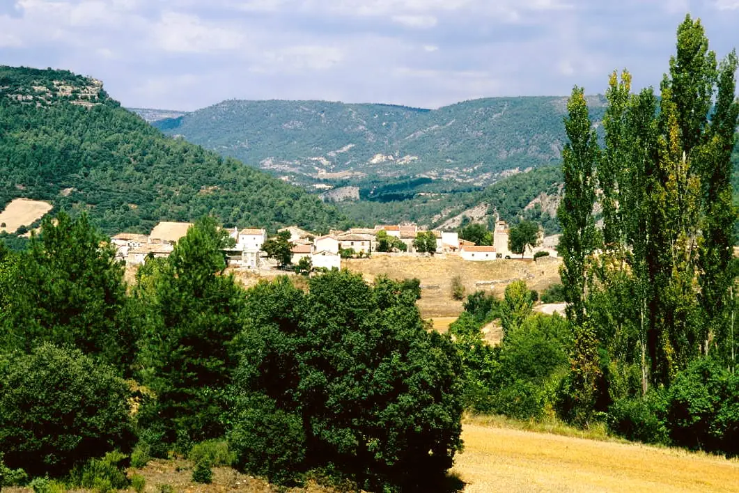
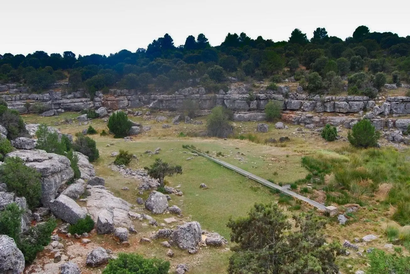
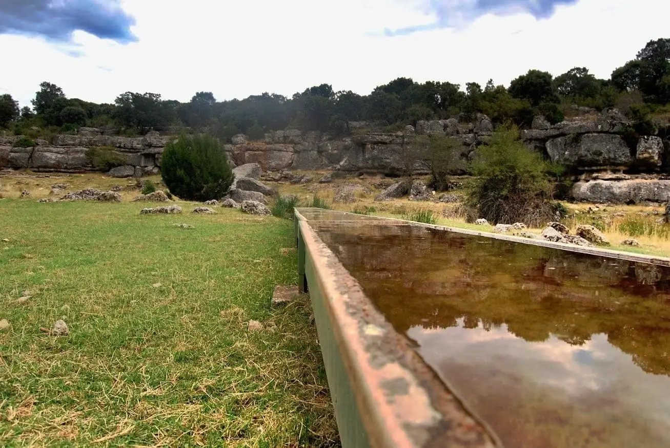
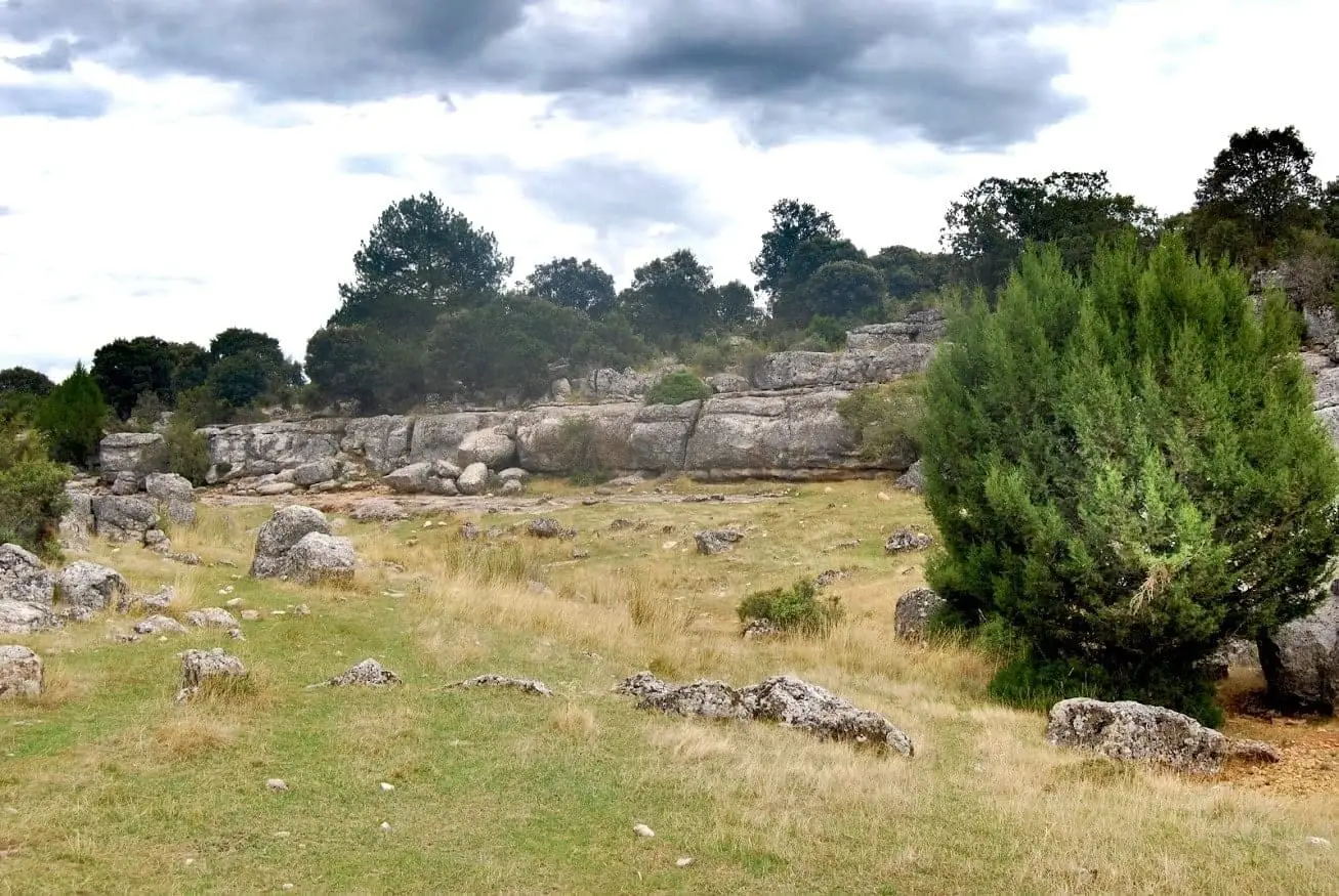
Fuente de la Olmeda is a picnic spot in Peralveche where locals traditionally gathered for fiestas such as Fat Thursday. It is a broad open flat beside a fresh spring. The trail is currently neglected and lacks signposting, but young villagers are working to bring back the life it once had.
Lands and landscapes
From here, follow the memory of the territory
These readings connect Fuente de la Olmeda (Peralveche) with the history, work, and villages around it.
- Municipality
- Peralveche
- Province
- Guadalajara
- Altitude
- 1,087 m
- Fat Thursday
- Traditional picnic spot
- Unsigned
For generations, the people of Peralveche walked out here to spend the day beside the spring, heading back along the same path as evening fell. Today the track is neglected and unsigned, so it is best to carry a map or ask in the village. It is a good example of the modest spots that anchor a community’s shared memory.
Photo: El Observario
Location
● Reference point · ● Villages · ● Places
Location diagram. Detailed map with tracks and names loads on zoom.
Reference villages: Peralveche · Arbeteta · Carrascosa de Tajo · Valtablado del Río.
Open the full map and historical layers →Nearby routes
All routes →Trail 3: Rambla del Avellano (Arbeteta)
10 km · 4 h · Circular
Trail 2: Senda del Castillo of Valtablado del Río
8.9 km · 5 h · Circular