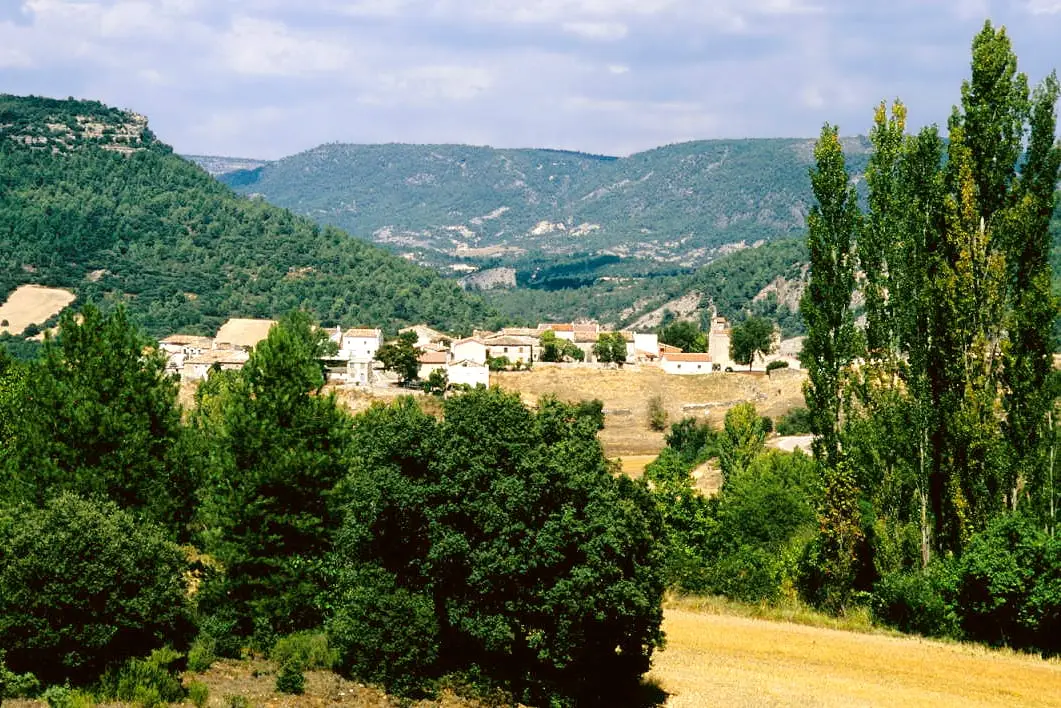
Heritage · Valtablado del Río
Valtablado Bridge: a Tagus ford with a poplar grove
The Valtablado bridge carries the GU-929 road over the Tagus past Valtablado del Río, at an old river ford with a shady poplar grove. Here the Tagus is wide and deep, with a stronger current than it looks. The Camino Natural del Tajo and GR-10 pass this spot.

Rivers and basins
The thread of water from Valtablado Bridge: a Tagus ford with a poplar grove
Follow these watercourses towards their confluences, villages, and basin history.
Lands and landscapes
From here, follow the memory of the territory
These readings connect Valtablado Bridge: a Tagus ford with a poplar grove with the history, work, and villages around it.
- Municipality
- Valtablado del Río
- Province
- Guadalajara
- GU-929
- Poplar grove
- Camino Natural del Tajo
- GR-10
A Tagus ford
Past Valtablado del Río, the GU-929 road crosses the Tagus on a bridge at an old river ford. A poplar grove provides shade along the bank, where the river widens and deepens. The current runs stronger than it appears: treat it with caution.
Trails
The Camino Natural del Tajo and the GR-10 both cross here. Continuing along the road toward Ocentejo brings you to the Hundido de Armallones.
Good practice
In summer it gets busy. The Park has no rubbish collection service: please carry all waste back with you.
Location
● Reference point · ● Villages · ● Places
Location diagram. Detailed map with tracks and names loads on zoom.
Approximate position: village centre.
Reference villages: Valtablado del Río · Arbeteta · Oter · Ocentejo.
Open the full map and historical layers →More heritage: chapels, bridges and saltworks nearby
View all →
Nearby routes
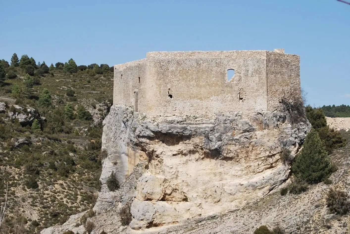
All routes →Trail 2: Senda del Castillo of Valtablado del Río
8.9 km · 5 h · Circular