Heritage · Peralveche
Villaescusa de Palositos: the village almost erased from the map
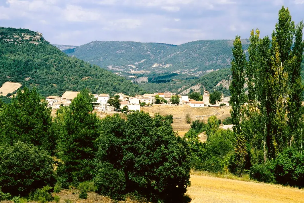
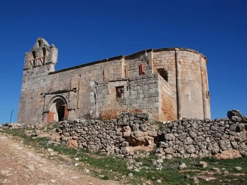
Villaescusa de Palositos is a former village in Guadalajara, now deserted, of which only the church and cemetery remain. Documented since the Reconquista and part of the Común de Villa y Tierra de Huete from 1085, it was inhabited until around forty years ago and was annexed to Peralveche in 1977.
Lands and landscapes
From here, follow the memory of the territory
These readings connect Villaescusa de Palositos: the village almost erased from the map with the history, work, and villages around it.
This place across time
Which eras you can read here
A single place can preserve traces from different eras. These layers connect what you see with the stories in the atlas.
- Municipality
- Peralveche
- Province
- Guadalajara
- Altitude
- 1,083 m
- Abandoned village
- Church and cemetery
- Huete
- Annexed in 1977
Barely anything, and plenty of history
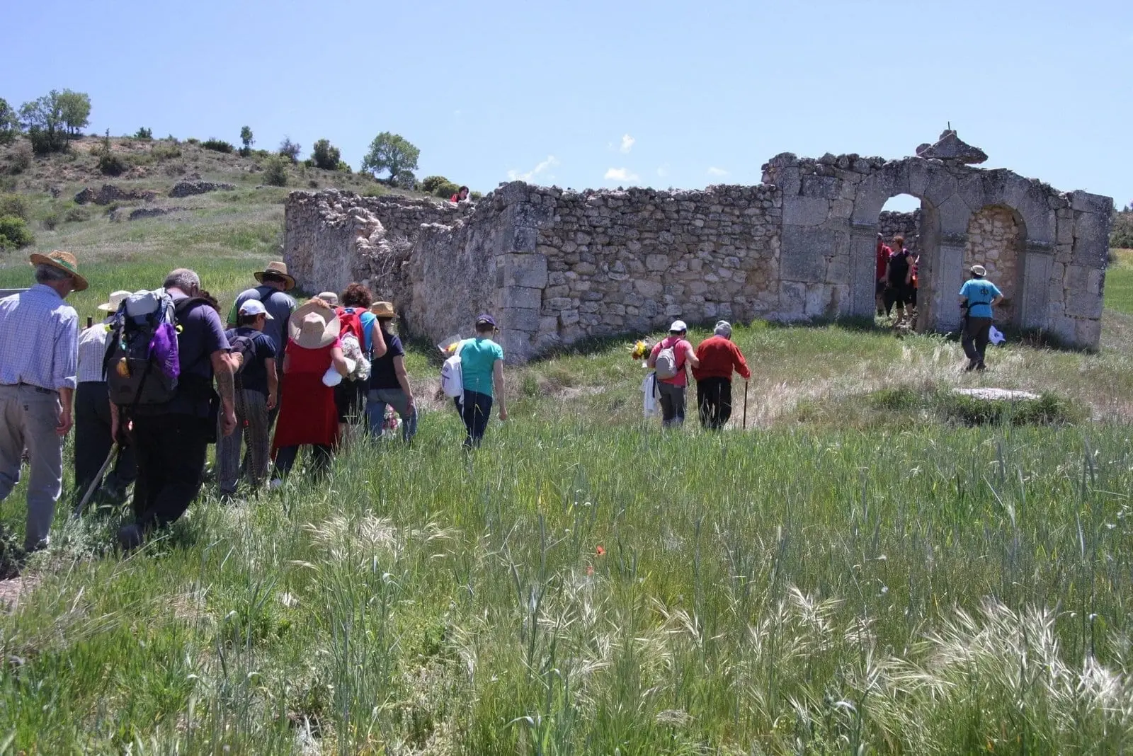
Of Villaescusa de Palositos, the church and the cemetery remain standing. Its houses, streets, plaza, town hall, school, and fountains have vanished, even though just over forty years ago they were still in use.
From the 11th century to 1977
Its history is recorded from the Reconquest: in 1085 it passed to the Crown of Castile, within the Común de Villa y Tierra de Huete. In 1977, already heavily depopulated, it was annexed to Peralveche.
Photo: El Observario
Location
● Reference point · ● Villages · ● Places
Location diagram. Detailed map with tracks and names loads on zoom.
Reference villages: Peralveche · Trillo · Arbeteta · Carrascosa de Tajo.
Open the full map and historical layers →More heritage: chapels, bridges and saltworks nearby
View all →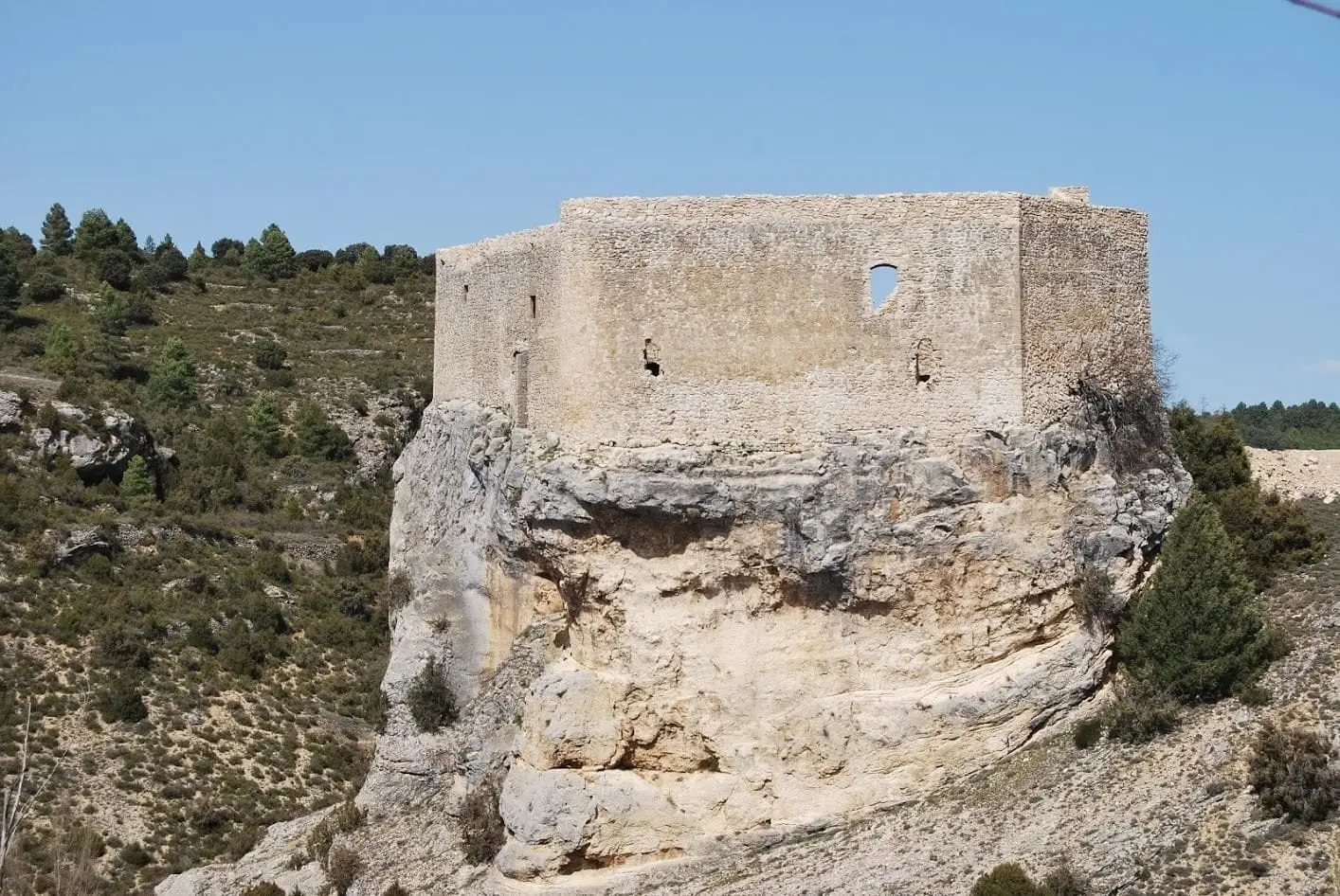
Castle of Arbeteta: the rock fortress guarding the Tagus route
Arbeteta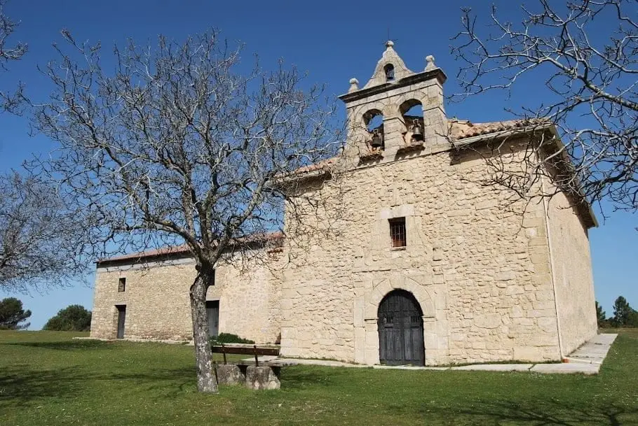
Hermitage of the Virgen de la Bienvenida (El Recuenco)
El Recuenco
Valtablado Bridge: a Tagus ford with a poplar grove
Valtablado del Río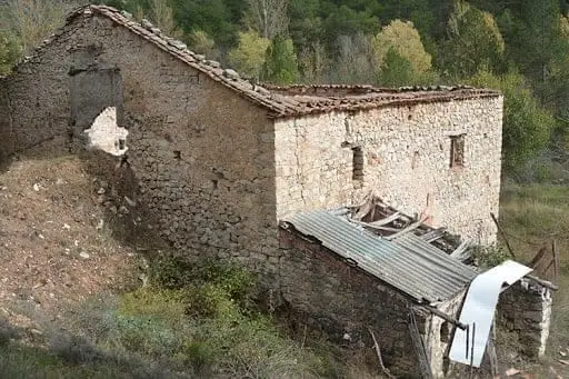
Batán Mill (Ocentejo) and the bridge blown up by the French
OcentejoNearby routes
All routes →Trail 3: Rambla del Avellano (Arbeteta)
10 km · 4 h · CircularTrail 2: Senda del Castillo of Valtablado del Río
8.9 km · 5 h · Circular