Village · Guadalajara · 983 m
El Recuenco
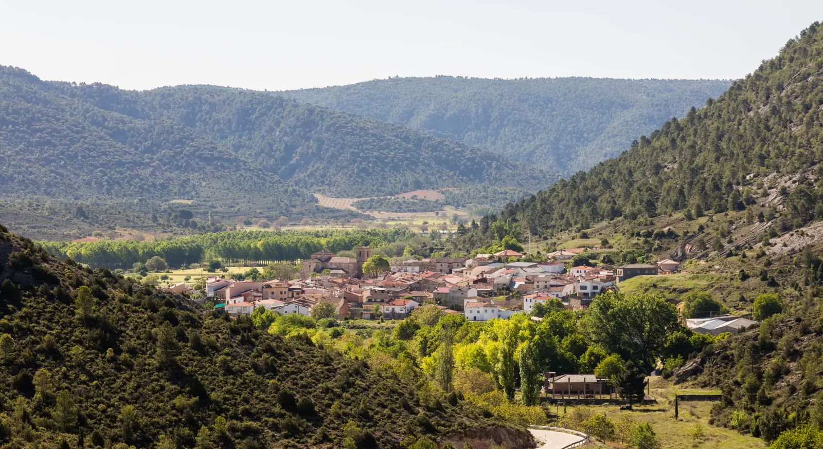
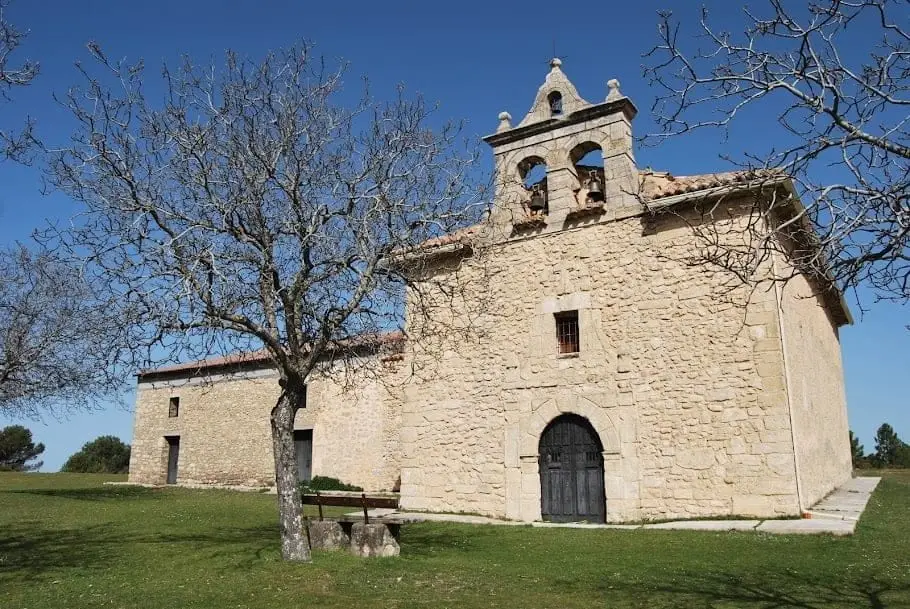
El Recuenco is a village in Guadalajara on the border with Cuenca, between the Serranía, the Alto Tajo, and the Alcarria. From atop its small ridge, the hermitage of the Virgen de la Bienvenida looks out over the Alcantud river valley. In its surroundings, a rewilding project with European bison is underway in the Sistema Ibérico.
Lands and landscapes
From here, follow the memory of the territory
These readings connect El Recuenco with the history, work, and villages around it.
What to see
- The hermitage of the Virgen de la Bienvenida, overlooking the Alcantud valley.
Memory of the glassblowers
Before the village became known for other initiatives, its furnaces produced bottles, flasks, jugs, and window glass. Locals sold these wares in neighbouring villages, carrying them in large baskets on their backs or on pack animals. The nickname sopleros (glassblowers) preserves that trade.
María José Sánchez Moreno gathered documents, artifacts, and glass pieces to reconstruct this history. The account continues in The village that made glass, with royal commissions for El Escorial and the names of local apprentices.
The bison
In the area surrounding El Recuenco, the European bison (Bison bonasus) has been reintroduced as part of a rewilding initiative. It is one of the distinct wildlife projects in the inland peninsula. Do not approach the estates independently: visits are conducted in an organized manner with respect for the animals.
Places in and around El Recuenco
Near El Recuenco
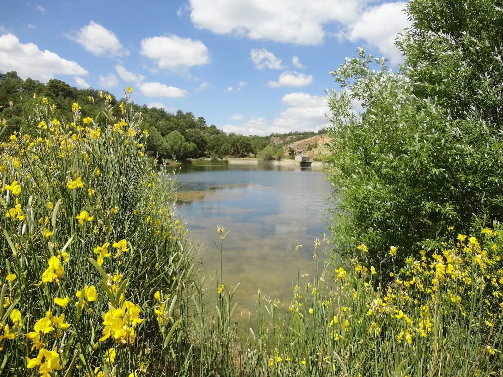
Pozo del Soto (Villanueva de Alcorón): a mine that became a lake
Villanueva de AlcorónTrail 3: Rambla del Avellano (Arbeteta)
10 km · 4 h · Circular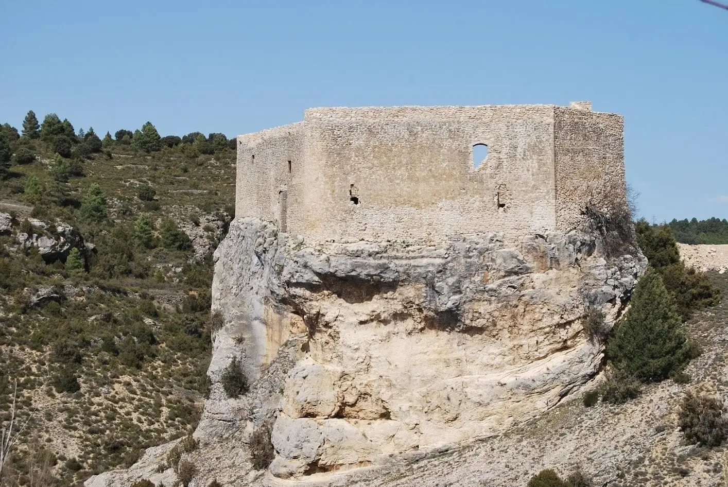
Castle of Arbeteta: the rock fortress guarding the Tagus route
Arbeteta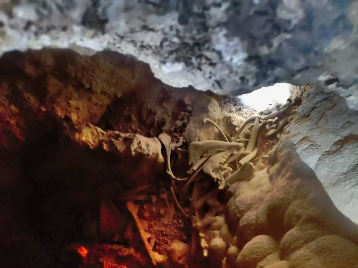
Peralveche chasm
Peralveche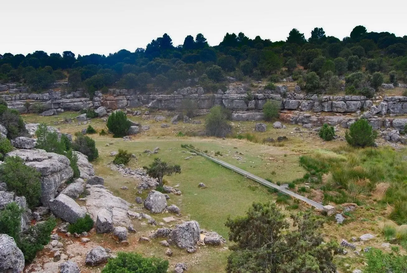
Fuente de la Olmeda (Peralveche)
Peralveche
Valtablado Bridge: a Tagus ford with a poplar grove
Valtablado del RíoTrail 2: Senda del Castillo of Valtablado del Río
8.9 km · 5 h · Circular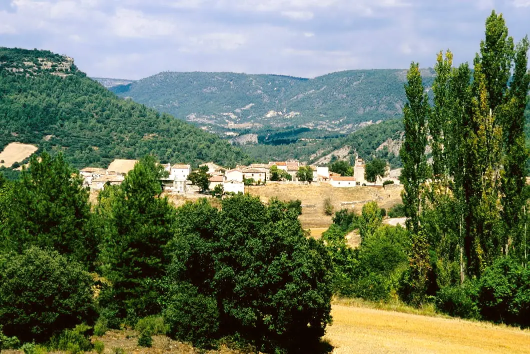
MTB route 1: the circular cycling route of Valtablado del Río
18 km · 3 h · CircularPopulation of El Recuenco, 1842–2021
El Recuenco reached a peak of 748 inhabitants in 1940 . In the 2021 census there were 61 , a decrease of 92%. This is the history told in the emptying of the Alto Tajo.
Climate in El Recuenco month by month
2015–2024 averages from Copernicus ERA5 reanalysis for an altitude of approx. 983 m. Useful for planning, not a substitute for live forecasts.
Location
● Reference point · ● Villages · ● Places
Location diagram. Detailed map with tracks and names loads on zoom.
Reference villages: Arbeteta · Peralveche · Villanueva de Alcorón · Valtablado del Río.
Open the full map and historical layers →