Village · Guadalajara · 989 m
Arbeteta
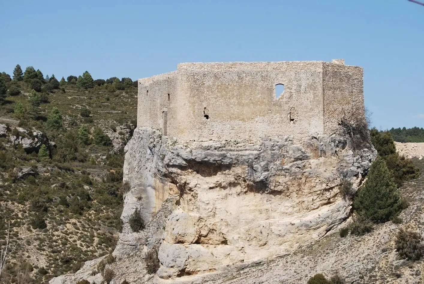
Arbeteta is a village in Guadalajara at around 990 metres, where the land opens towards the Tagus from the south. It has a rock fortress of likely Arab origin that guarded a natural passage towards the river, and a family-friendly walking trail, the Rambla del Avellano or Ojos de Arbeteta.
Lands and landscapes
From here, follow the memory of the territory
These readings connect Arbeteta with the history, work, and villages around it.
Traces in the village and its surroundings
Which eras you can read here
A single place can preserve traces from different eras. These layers connect what you see with the stories in the atlas.
What to see
- Castillo de Arbeteta, perched upon rock and surrounded by a deep moat.
Routes
Sendero 3, la Rambla del Avellano, with a natural stone arch and traditional watering troughs. Suitable for walking with dogs.
Nearby
Valtablado del Río, beside the Tagus, and Peralveche.
Looking at the rooftops
The journal Abarca researched the old tile kiln of Arbeteta. That reading allows one to explore the village with an eye for the materials and labour that built its houses. The story is told in What fits inside a roof tile.
Places in and around Arbeteta
Routes linked to Arbeteta
Near Arbeteta

Valtablado Bridge: a Tagus ford with a poplar grove
Valtablado del RíoTrail 2: Senda del Castillo of Valtablado del Río
8.9 km · 5 h · Circular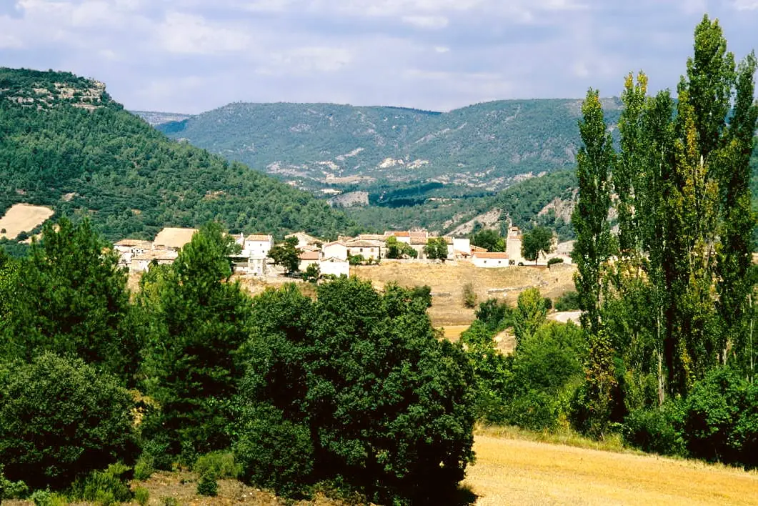
MTB route 1: the circular cycling route of Valtablado del Río
18 km · 3 h · Circular
Peralveche chasm
Peralveche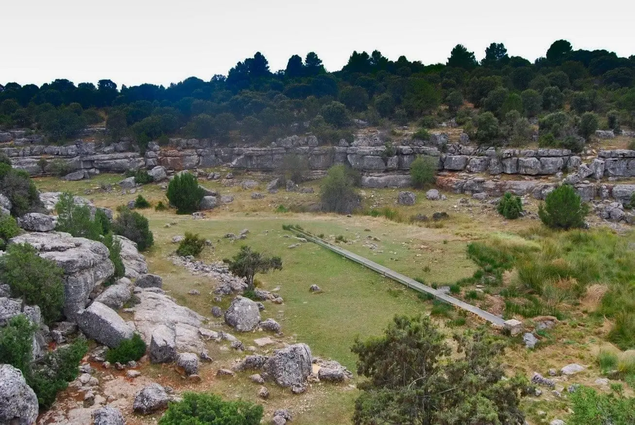
Fuente de la Olmeda (Peralveche)
Peralveche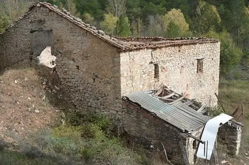
Batán Mill (Ocentejo) and the bridge blown up by the French
Ocentejo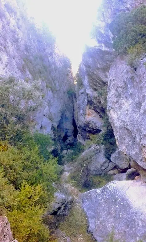
Barranco de la Hoz de Oter and the El Barrancazo gorge
Oter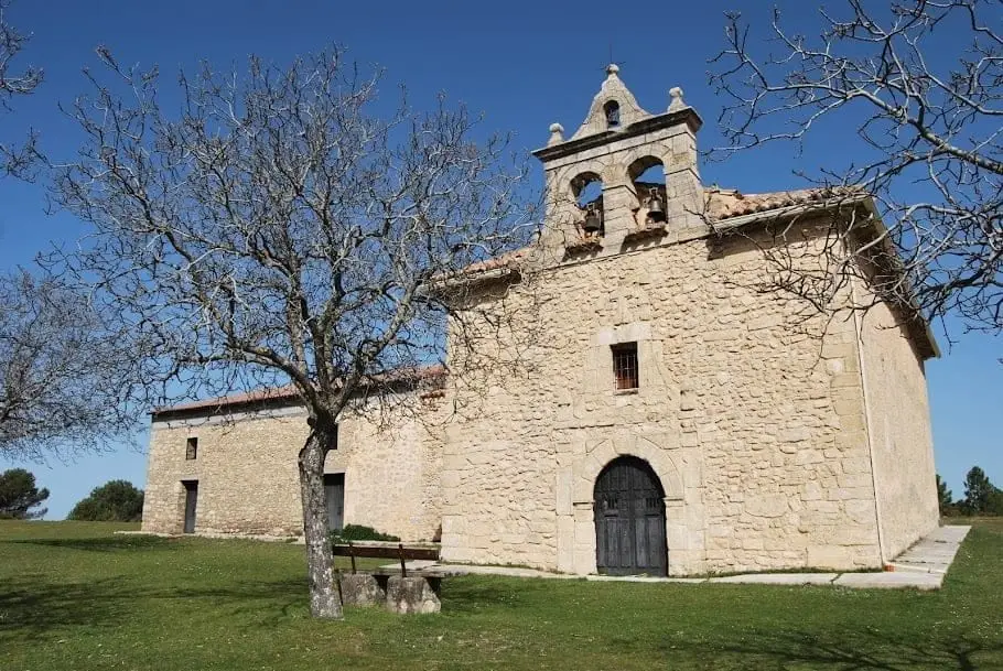
Hermitage of the Virgen de la Bienvenida (El Recuenco)
El RecuencoPopulation of Arbeteta, 1842–2021
Arbeteta reached a peak of 610 inhabitants in 1842 . In the 2021 census there were 20 , a decrease of 97%. This is the history told in the emptying of the Alto Tajo.
Climate in Arbeteta month by month
2015–2024 averages from Copernicus ERA5 reanalysis for an altitude of approx. 989 m. Useful for planning, not a substitute for live forecasts.
Location
● Reference point · ● Villages · ● Places
Location diagram. Detailed map with tracks and names loads on zoom.
Reference villages: Valtablado del Río · Peralveche · El Recuenco · Carrascosa de Tajo.
Open the full map and historical layers →