Village · Guadalajara · 738 m
Trillo
Trillo is a town in the Alcarria beside the Tajo and Cifuentes rivers, with around 1,400 residents. Its municipality includes Tetas de Viana, a Natural Monument since 2006. Consolidated after the Reconquista in the late 11th century, it gained a castle built by don Juan Manuel in 1325, whose ruins crown the town. It became a chartered town in 1630; the War of the Spanish Succession devastated it in the early 18th century.
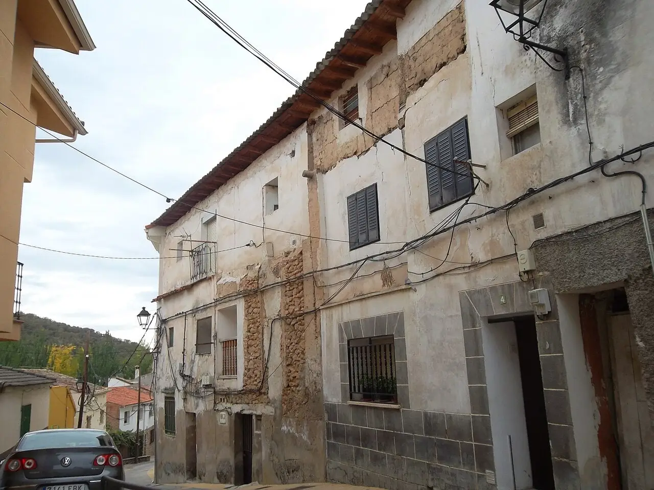
What to see in Trillo
- Tetas de Viana, two flat-topped twin mesas beside Viana de Mondéjar, Natural Monument since 2006.
- The ruins of the castle commissioned by Infante don Juan Manuel in 1325.
- The Tagus River and its tributary the Cifuentes, which forms waterfalls as it reaches the town.
History
In Roman times Trillo lay on the boundary between Carpetania and Celtiberia. After the reconquest in the late 11th century, it entered the territory of Atienza. It passed to the Counts of Cifuentes in the mid-15th century and became an independent chartered town in 1630. The War of the Spanish Succession in the early 18th century devastated it: more than two hundred houses burned down and the population dropped steeply.
Outside the Señorío
Trillo lies already in the Alcarria, downstream from the Alto Tajo. Its municipal territory includes Azañón, Morillejo, La Puerta, and Viana de Mondéjar.
Routes linked to Trillo
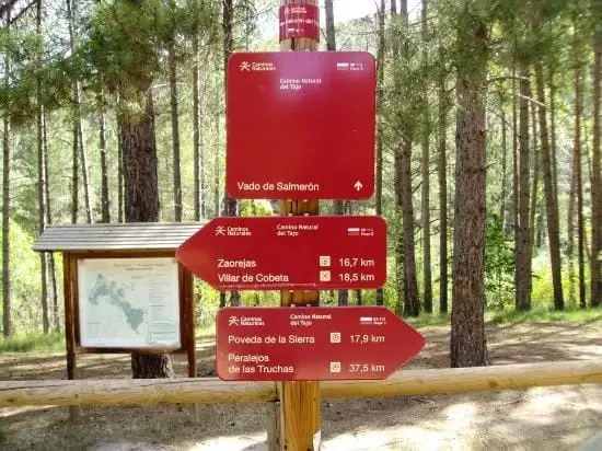
Near Trillo
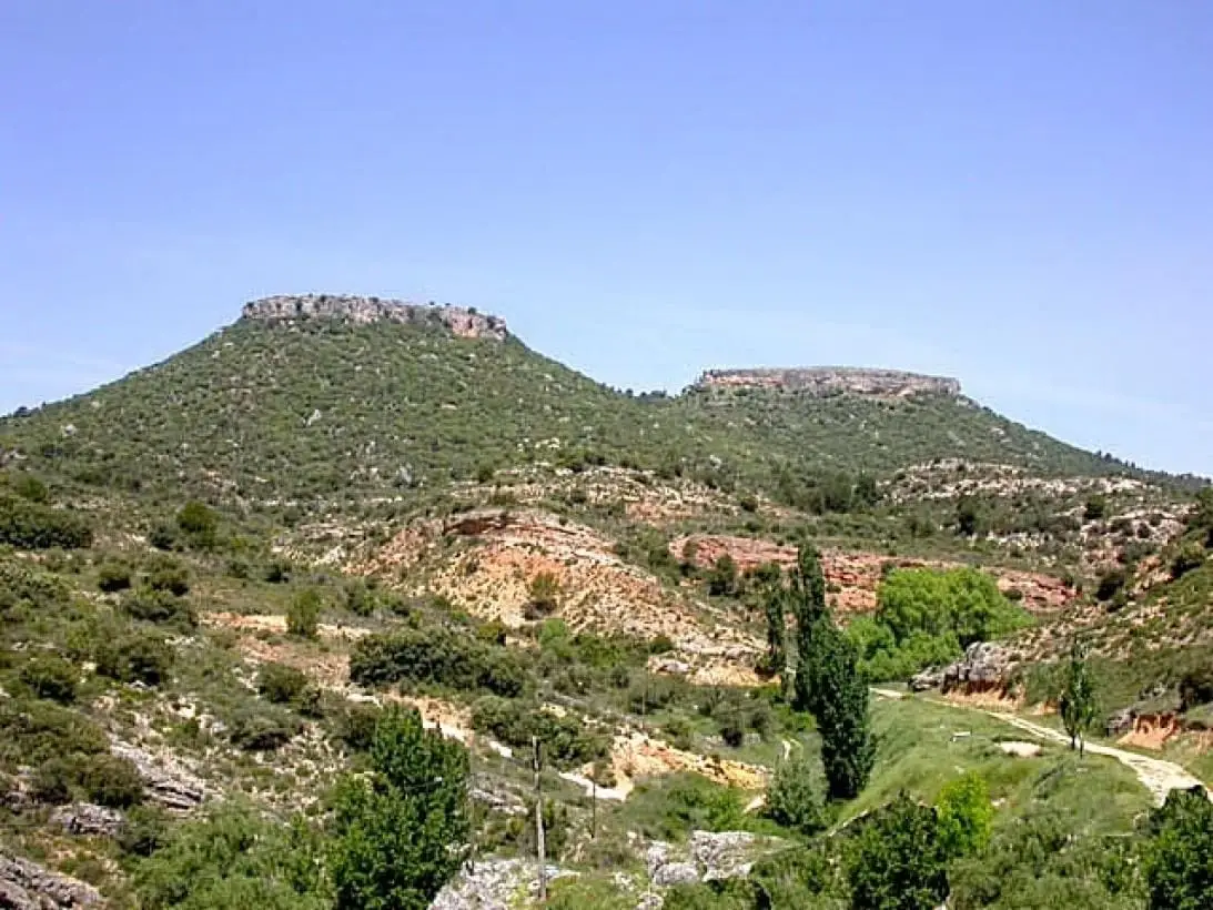
Tetas de Viana: The Twin Hills of Trillo
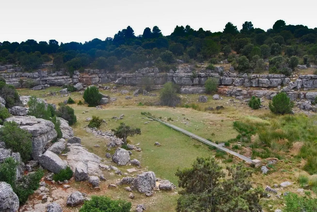
Fuente de la Olmeda (Peralveche)
Peralveche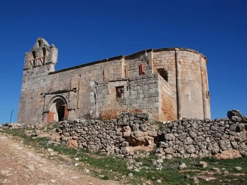
Villaescusa de Palositos: the village almost erased from the map
Peralveche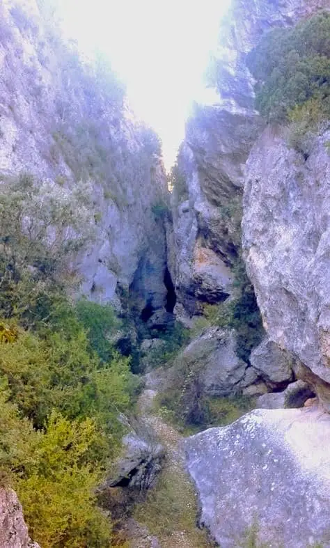
Barranco de la Hoz de Oter and the El Barrancazo gorge
Oter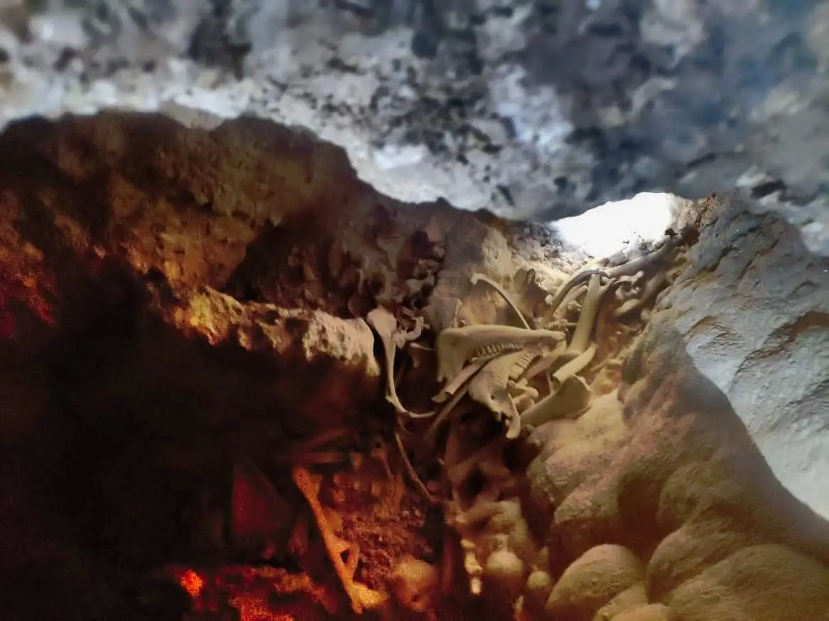
Peralveche chasm
Peralveche
Valtablado Bridge: a Tagus ford with a poplar grove
Valtablado del RíoTrail 2: Senda del Castillo of Valtablado del Río
8.9 km · 5 h · Circular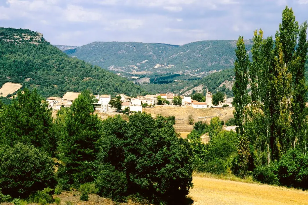
MTB route 1: the circular cycling route of Valtablado del Río
18 km · 3 h · CircularPopulation of Trillo, 1842–2021
Trillo reached a peak of 1,524 inhabitants in 2011 . In the 2021 census there were 1,368 .
Climate in Trillo month by month
2015–2024 averages from Copernicus ERA5 reanalysis for an altitude of approx. 738 m. Useful for planning, not a substitute for live forecasts.
Location
● Reference point · ● Villages · ● Places
Location diagram. Detailed map with tracks and names loads on zoom.
Reference villages: Carrascosa de Tajo · Oter · Canredondo · Peralveche.
Open the full map and historical layers →