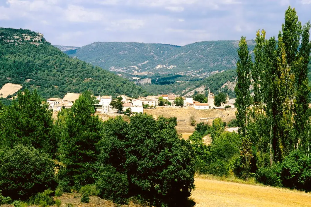
Cave · Peralveche
Peralveche chasm
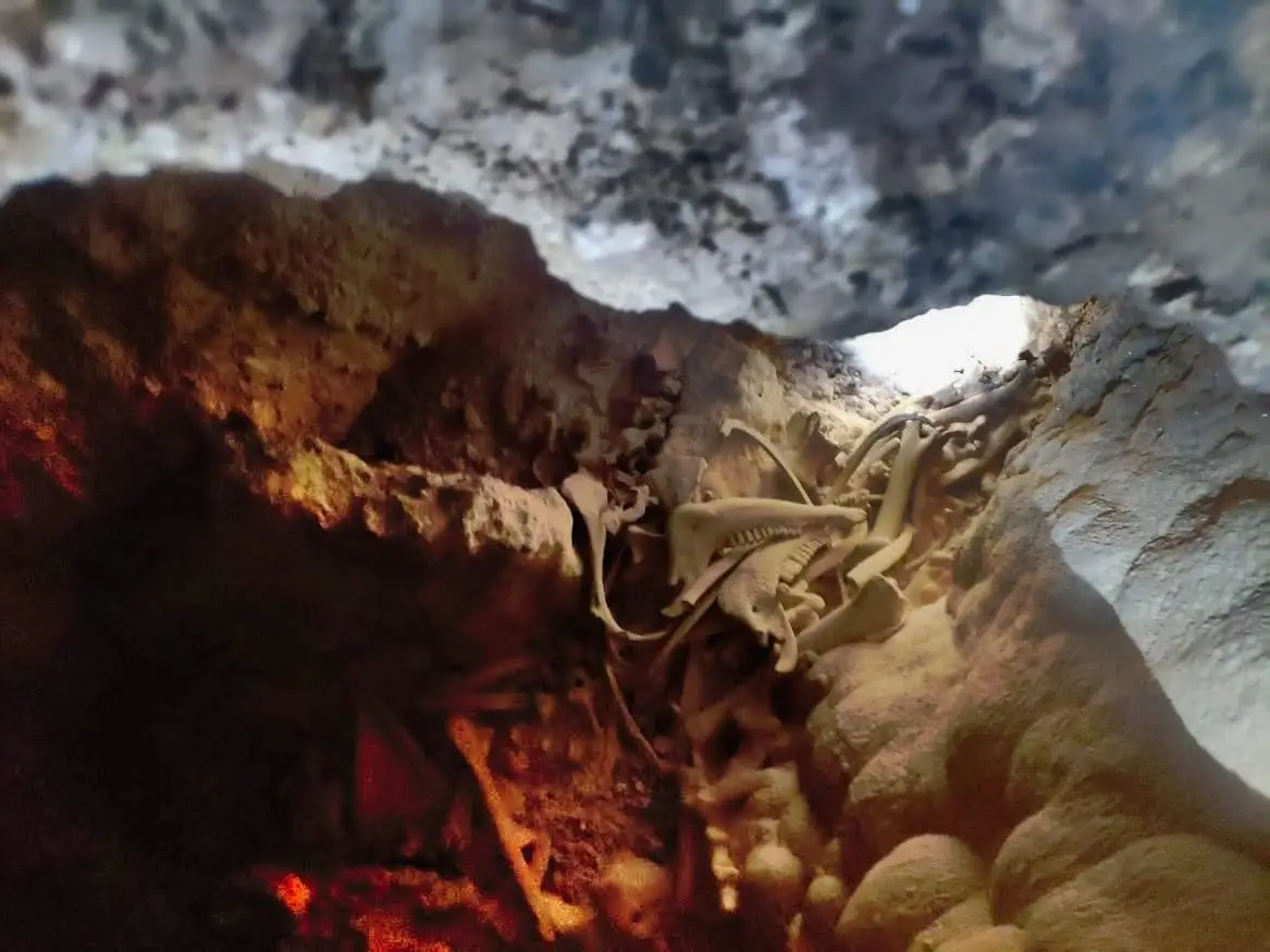
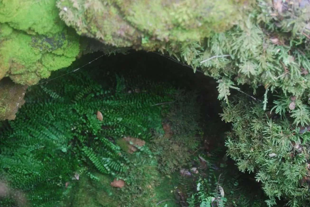
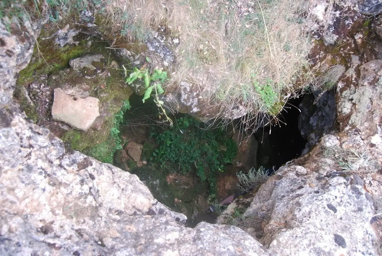
The Peralveche chasm is a natural cavern in this municipality, near the new water treatment plant. Its entrance can be climbed down with some agility over two large boulders, but the interior is completely unconditioned and its exploration is strictly for experienced cavers. For this reason we do not publish its exact location.
Lands and landscapes
From here, follow the memory of the territory
These readings connect Peralveche chasm with the history, work, and villages around it.
- Municipality
- Peralveche
- Province
- Guadalajara
- Altitude
- 1,100 m
- Unconditioned chasm
- Cavers only
- Location reserved
Many locals from Peralveche have peered over the years into this chasm, which does not even have a known name. The entrance looks simple, stepping down two large rocks like steps, but looks are deceiving: inside there is no conditioning whatsoever.
We prefer not to publish its exact coordinates to discourage casual visits.
Safety
It is not a cave fitted out for tourism. It should only be explored with caving experience, proper equipment, and in company, always leaving word of your route. Respect the bats: do not enter during breeding or hibernation periods.
Photo: El Observario
Location
● Reference point · ● Villages · ● Places
Location diagram. Detailed map with tracks and names loads on zoom.
Reference villages: Peralveche · Arbeteta · El Recuenco · Valtablado del Río.
Open the full map and historical layers →Nearby routes
All routes →Trail 3: Rambla del Avellano (Arbeteta)
10 km · 4 h · Circular
Trail 2: Senda del Castillo of Valtablado del Río
8.9 km · 5 h · Circular