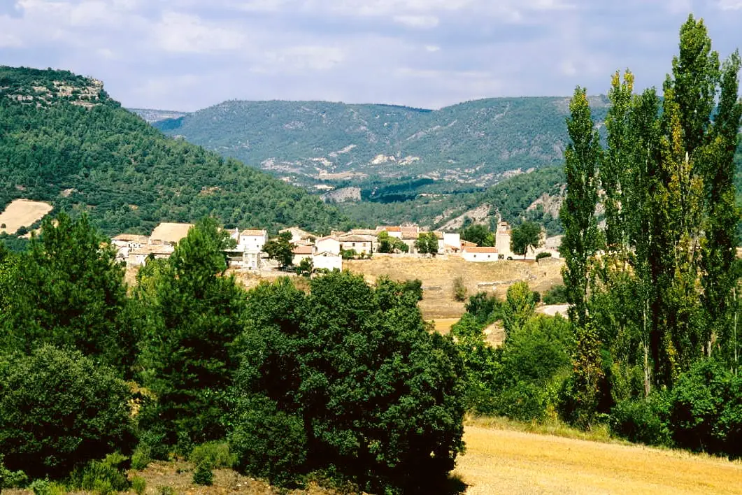
Castle · Arbeteta
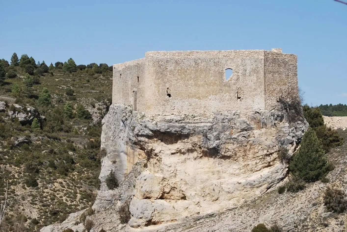
Castle of Arbeteta: the rock fortress guarding the Tagus route
The castle of Arbeteta is a rock fortress, of probable Arab origin, guarding one of the natural access routes toward the Tagus from the south. Documented in the 12th century within the Council of Cuenca, it passed through several lords before reaching the Medinaceli and later the Carrillo de Sotomayor family. Its deep ditch rendered defensive towers unnecessary.
Lands and landscapes
From here, follow the memory of the territory
These readings connect Castle of Arbeteta: the rock fortress guarding the Tagus route with the history, work, and villages around it.
This place across time
Which eras you can read here
A single place can preserve traces from different eras. These layers connect what you see with the stories in the atlas.
- Municipality
- Arbeteta
- Province
- Guadalajara
- Altitude
- 961 m
- Rock fortress
- 12th century
- Deep ditch
- Pass toward the Tagus
Guarding the southern pass
The fortress rises atop a crag adjacent to Arbeteta, controlling one of the natural corridors leading toward the Tagus from the south. Likely of Arab origin, the earliest written records document it in the 12th century, when Alfonso VIII incorporated it into the Council of Cuenca.
Changes of ownership
Its history was marked by frequent territorial disputes. At the end of the 15th century it was held by the House of Medinaceli, and in the early 16th century it passed to Gómez Carrillo de Sotomayor and his lineage, who retained ownership for centuries until its ultimate abandonment.
Architecture without towers
Its elevated topography and the deep rock-cut ditch that surrounds it rendered flank towers unnecessary: only semicircular reinforcements exist at two corners of the perimeter wall.
Location
● Reference point · ● Villages · ● Places
Location diagram. Detailed map with tracks and names loads on zoom.
Reference villages: Arbeteta · Valtablado del Río · Peralveche · El Recuenco.
Open the full map and historical layers →Nearby routes
All routes →Trail 3: Rambla del Avellano (Arbeteta)
10 km · 4 h · Circular
Trail 2: Senda del Castillo of Valtablado del Río
8.9 km · 5 h · Circular