Village · Guadalajara · 1,100 m
Peralveche
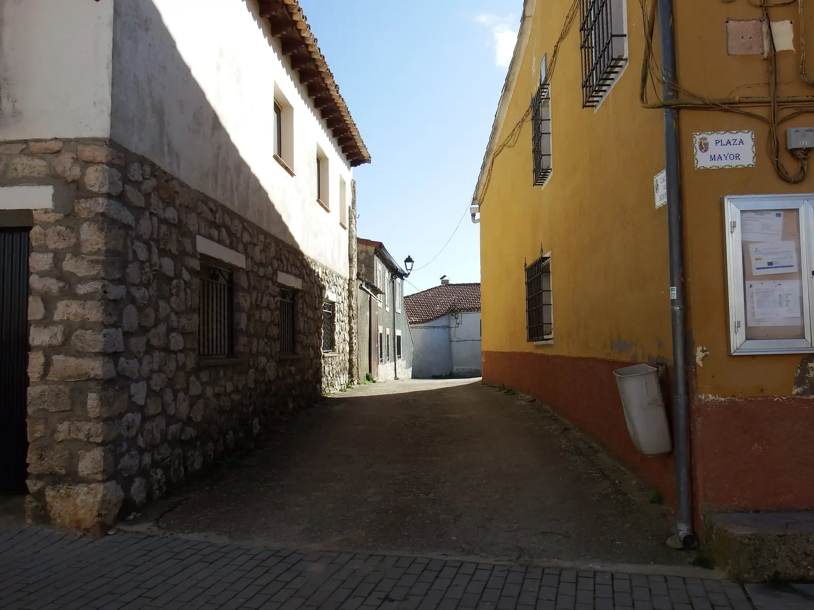
Peralveche is a village in Guadalajara at about 1,100 metres on the western edge of the Natural Park. Its territory preserves an old Republican airfield with bomb shelters, a karst chasm, the Fuente de la Olmeda picnic spring, and the deserted settlement of Villaescusa de Palositos, annexed in 1977.
Rivers and basins
The thread of water from Peralveche
Follow these watercourses towards their confluences, villages, and basin history.
Lands and landscapes
From here, follow the memory of the territory
These readings connect Peralveche with the history, work, and villages around it.
Traces in the village and its surroundings
Which eras you can read here
A single place can preserve traces from different eras. These layers connect what you see with the stories in the atlas.
1936–1939 · memory of the territory
The war in the village memory
Peralveche had a Republican airfield. The flying field recalls a war that also spread across the plains, far from the canyon’s trenches.
Source: RECAMDER / FADETA, inventario patrimonial (2025).
Read the story of the river frontline →What to see
- The Ojo de la Higuera route, passing the former airfield and air-raid shelters.
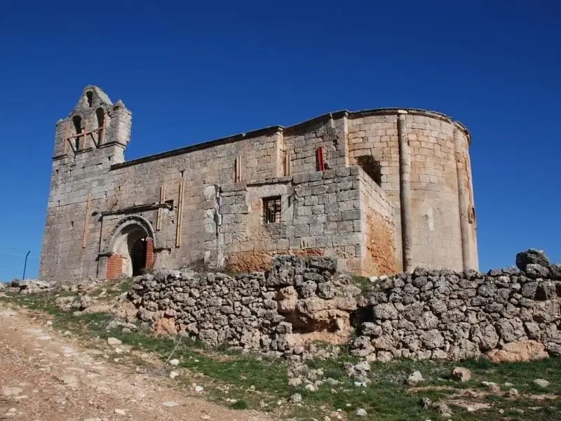
- Villaescusa de Palositos, where the church and cemetery remain.
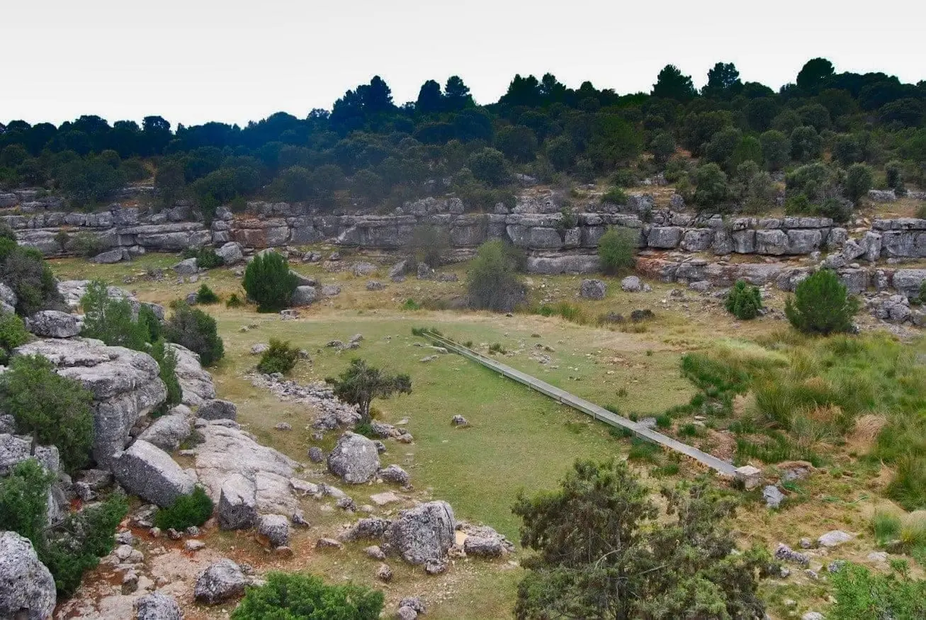
- Fuente de la Olmeda.
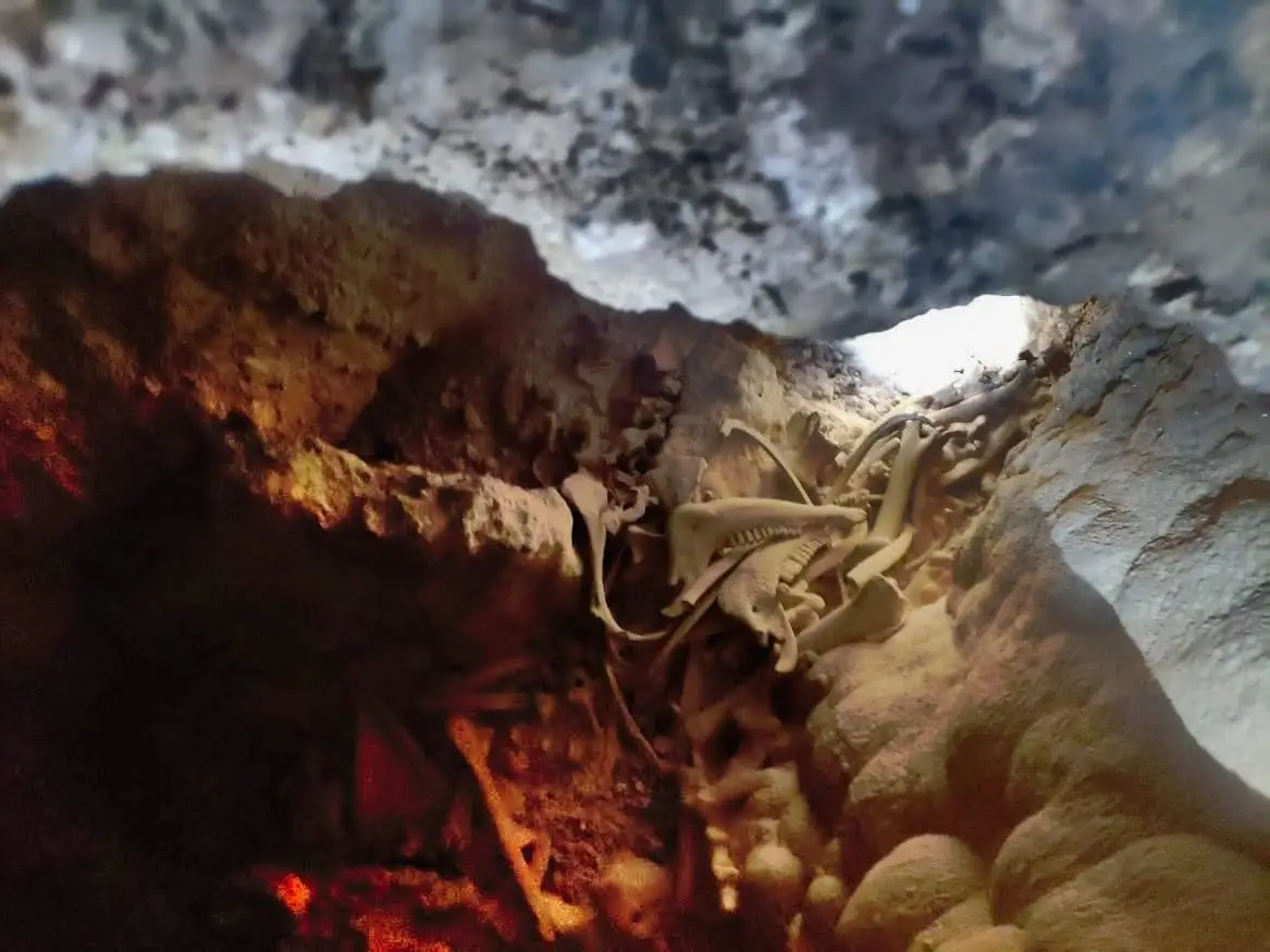
- The Peralveche chasm, for experienced cavers only.
Mountain labour
In Abarca, villagers from Peralveche recalled the harvesting of wild lavender and the copper stills where its essence was extracted. Valentina Romero Pascual described how young girls gathered French lavender (cantueso) beside the Arbeteta road to carpet the streets on San Juan. Miguel Pascual López recalled charcoal making, firewood collection, lime kilns, and foraging fodder for animals. These testimonies are gathered in Plants of everyday life.
Places in and around Peralveche
Near Peralveche
Trail 3: Rambla del Avellano (Arbeteta)
10 km · 4 h · Circular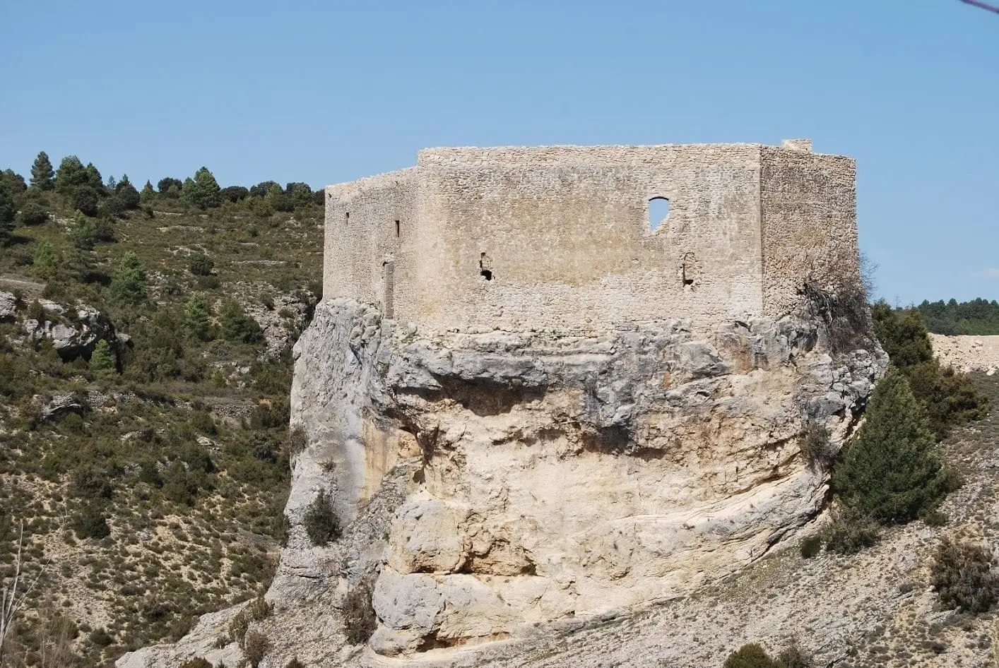
Castle of Arbeteta: the rock fortress guarding the Tagus route
Arbeteta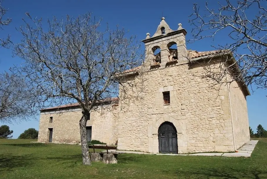
Hermitage of the Virgen de la Bienvenida (El Recuenco)
El Recuenco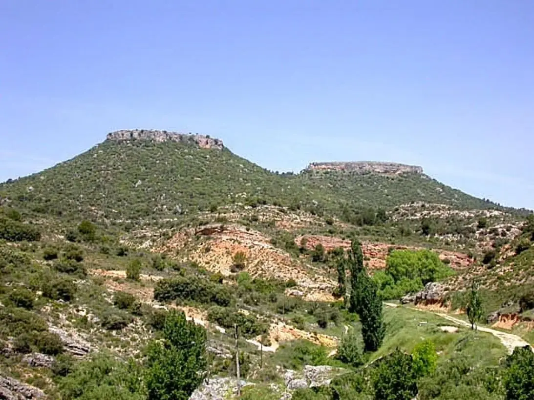
Tetas de Viana: The Twin Hills of Trillo

Valtablado Bridge: a Tagus ford with a poplar grove
Valtablado del RíoTrail 2: Senda del Castillo of Valtablado del Río
8.9 km · 5 h · Circular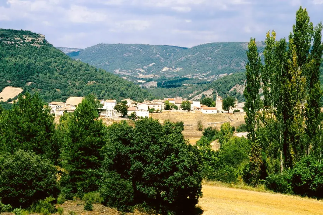
MTB route 1: the circular cycling route of Valtablado del Río
18 km · 3 h · Circular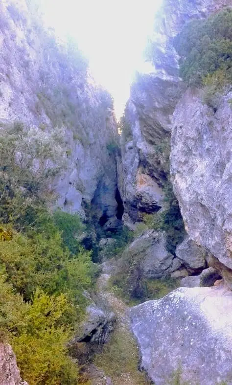
Barranco de la Hoz de Oter and the El Barrancazo gorge
OterPopulation of Peralveche, 1842–2021
Peralveche reached a peak of 480 inhabitants in 1857 . In the 2021 census there were 41 , a decrease of 91%. This is the history told in the emptying of the Alto Tajo.
Climate in Peralveche month by month
2015–2024 averages from Copernicus ERA5 reanalysis for an altitude of approx. 1,100 m. Useful for planning, not a substitute for live forecasts.
Location
● Reference point · ● Villages · ● Places
Location diagram. Detailed map with tracks and names loads on zoom.
Reference villages: Arbeteta · El Recuenco · Valtablado del Río · Carrascosa de Tajo.
Open the full map and historical layers →