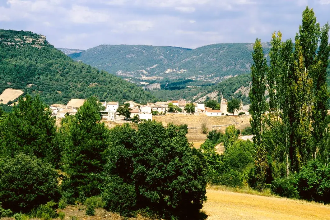
Route · Arbeteta
Sendero 3: Trail 3: Rambla del Avellano (Arbeteta)
Circular trail of 10 km and 4 hours from Arbeteta, low difficulty. Climbs through farmland to mixed pine and Spanish juniper, passes stone watering troughs at Fuente de la Carrera, and descends Rambla del Avellano with yews, holly, and a limestone arch.
Lands and landscapes
From here, follow the memory of the territory
These readings connect Trail 3: Rambla del Avellano (Arbeteta) with the history, work, and villages around it.
- Code
- Sendero 3
- Distance
- 10 km
- Duration
- 4 h
- Trail type
- Circular
- Difficulty
- Easy
- Altitude
- 972 m
Walking duration without transfers or stops. Difficulty rated according to the official source; verify its conditions and notices. “Easy” does not imply wheelchair or stroller accessibility.
- Sendero 3
- Circular, low difficulty
- Stone arch
- Spring fords
- Formerly SL PNAT 6
From farmland into the pine woods
Begins in Arbeteta at the Los Caños fountain and recreation area, climbing along an agricultural track between drystone walls. At the top it enters mixed pine woods of black pine with holm oak and Spanish juniper, passing the troughs of Fuente de la Carrera, ancient stone livestock basins.
The ravine
Around km 6 it joins a track descending into the shaded floor of Rambla del Avellano. Large holm oaks and gall oaks appear alongside mountain flora like yew and holly. The gorge narrows between crags and pinnacles in a small labyrinth of rocks highlighted by a natural stone arch dissolved out of the limestone. The return follows the ravine bed downstream on a path that crosses it multiple times, forming small waterfalls after rain.
Short option
Can be completed as an out-and-back trail only up to the stone arch; in that case the Park advises walking it in reverse. In wet springs you may need to wade barefoot across some stream crossings.
Before you set out
Carry water, mountain footwear, and download the GPS track in advance: mobile reception is absent in many areas. Check the forecast on Today in the Alto Tajo and the official trail sheet for notices and closures, and respect seasonal restrictions during raptor breeding periods.
Official route · Parque Natural del Alto Tajo (Junta de Castilla-La Mancha). Description, track and notices on the official guide. Before setting out, verify there whether changes or closures apply.
Location
● Reference point · ● Villages · ● Places · ━ Simplified official route
Location diagram. Detailed map with tracks and names loads on zoom.
Reference villages: Arbeteta · Valtablado del Río · Peralveche · El Recuenco.
Open the full map and historical layers →