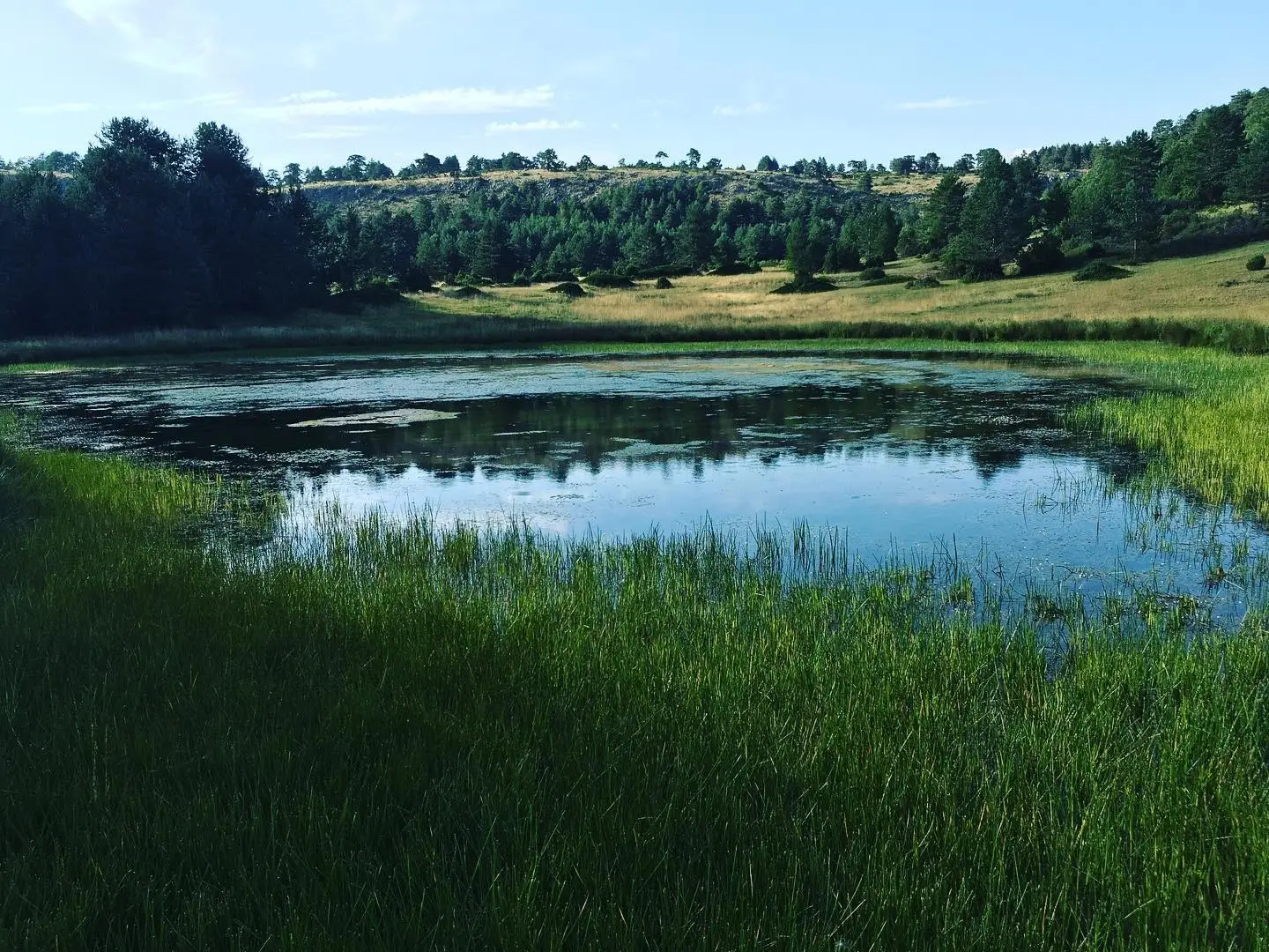
Geosite · Orea
Cerro de San Cristóbal (Orea): 1,862 metres and dark night skies
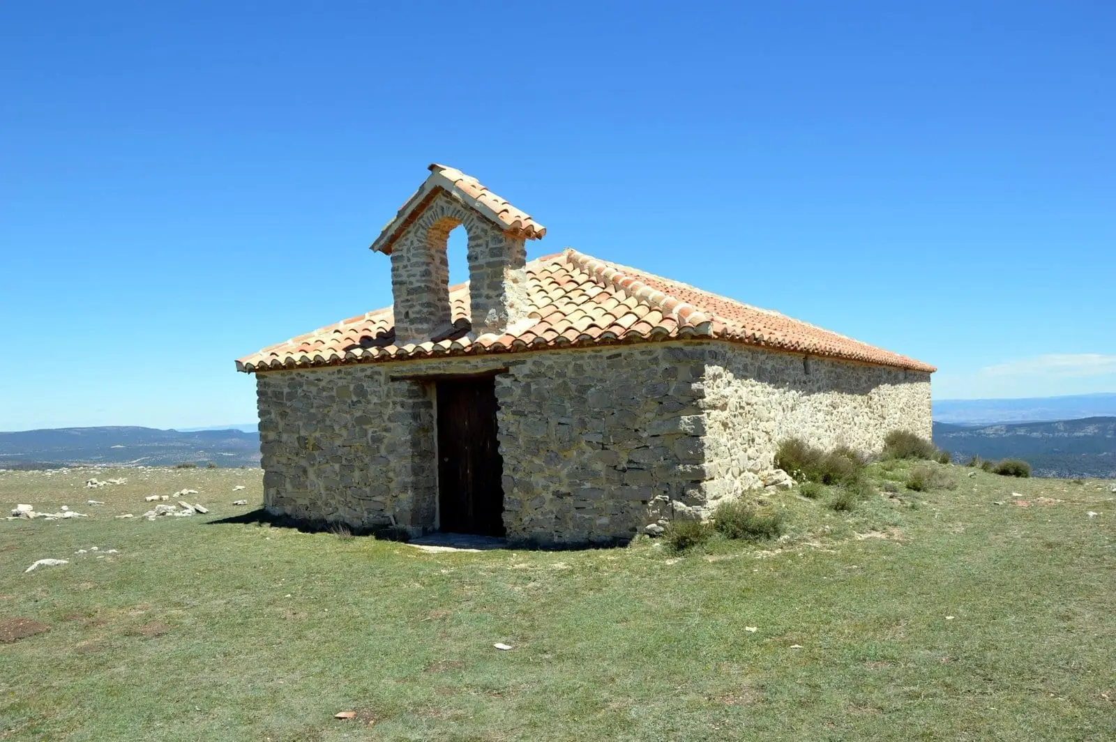
Cerro de San Cristóbal, at 1,862 metres, is one of the highest peaks in the Alto Tajo, surpassed locally only by Peña de la Gallina at 1,885 metres. Its summit features a geodetic marker and the San Cristóbal hermitage, offering vast panoramic views over Orea. Its elevation and dark skies make it an exceptional site for stargazing.
Lands and landscapes
From here, follow the memory of the territory
These readings connect Cerro de San Cristóbal (Orea): 1,862 metres and dark night skies with the history, work, and villages around it.
- Municipality
- Orea
- Province
- Guadalajara
- Altitude
- 1,856 m
- 1,862 m
- San Cristóbal hermitage
- Geodetic marker
- Astronomical observation
One of the highest summits of the Alto Tajo
From the high plateau of the summit, visitors enjoy expansive views over the municipality of Orea and its surrounding valley. The peak hosts a geodetic reference pillar and the modest hermitage of San Cristóbal, surrounded by open horizons, mountain pastures, and limestone blocks scattered among junipers, wild briars, and wild roses.
A natural observatory
Its high altitude and exceptional atmospheric transparency make it a premier destination for stargazing. Read more in dark skies of the Alto Tajo.
Surroundings
On its lower slopes sits the Cerrillo Herrero recreation area, the closest to Orea, while on another flank lies the remarkable periglacial blockstream / stone run of Orea.
Location
● Reference point · ● Villages · ● Places
Location diagram. Detailed map with tracks and names loads on zoom.
Reference villages: Orea · Checa · Alustante · Alcoroches.
Open the full map and historical layers →More geology and geosites nearby
View all →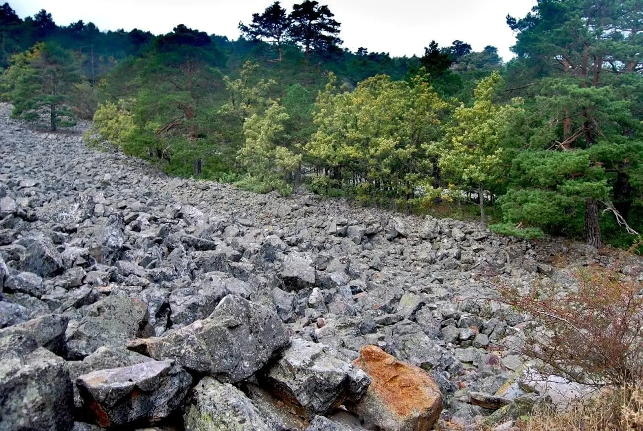
Orea Stone Run: a boulder river you can hear
Orea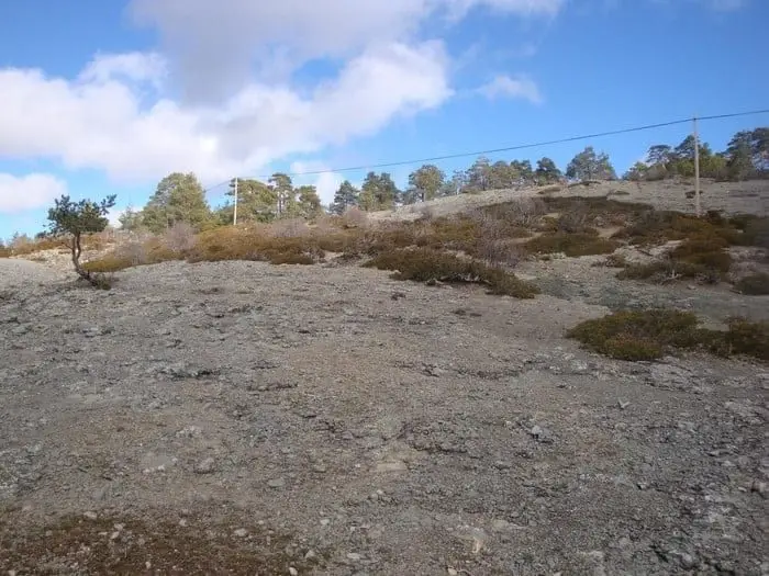
Ancient volcano of Orea: 270-million-year-old dacites
Orea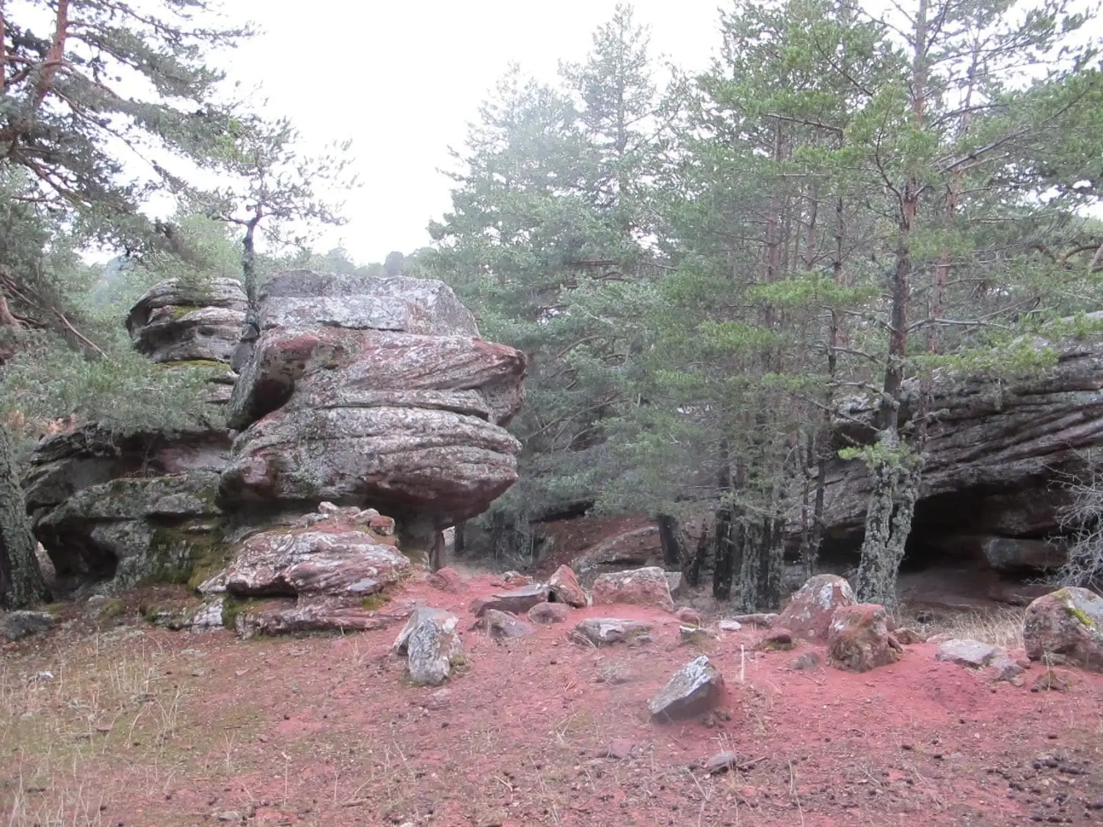
Corridors of Peñas Rubias: the enchanted city of Orea
OreaNearby routes
All routes →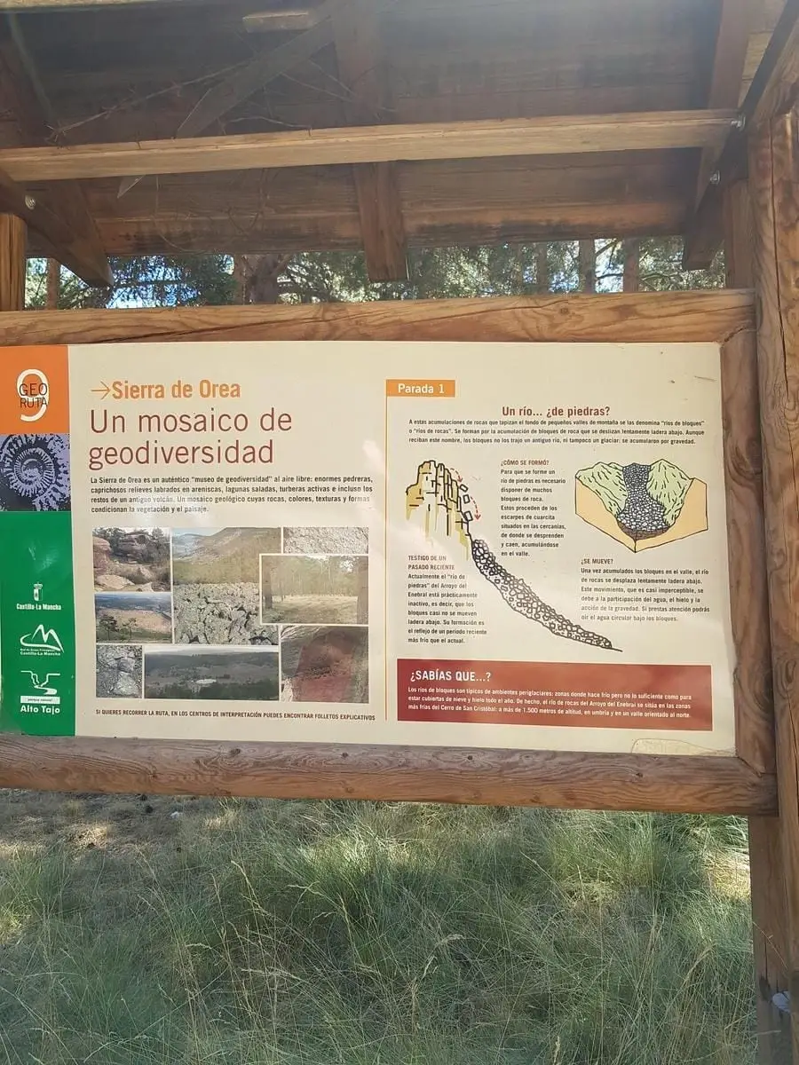
Geotrail 9: the Sierra de Orea
21 km · 5 h · Circular