Route · Orea
Sendero 17: Trail 17: Laguna de la Salobreja (Orea)
Circular route of 13.5 km and 5.5 hours from Orea, moderate difficulty, visiting Orea enchanted city, reaching Laguna de la Salobreja in a karst polje, and returning via Hoz Seca ravine. Park notice: currently safe only as out-and-back to the lagoon.
Lands and landscapes
From here, follow the memory of the territory
These readings connect Trail 17: Laguna de la Salobreja (Orea) with the history, work, and villages around it.
- Code
- Sendero 17
- Distance
- 13.5 km
- Elevation gain
- 381 m
- Duration
- 5.5 h
- Trail type
- Circular
- Difficulty
- Moderate
- Altitude
- 1,607 m
Walking duration without transfers or stops. Difficulty rated according to the official source; verify its conditions and notices. “Easy” does not imply wheelchair or stroller accessibility.
- Sendero 17
- Currently: out-and-back to the lagoon
- Karst polje
- Hoz Seca ravine
- Formerly RG PNAT 11
Natural Park advisory
The trail is currently under review and maintenance. For now it can only be safely completed as an out-and-back route to the lagoon, returning by the same path. That section follows forest tracks and has low difficulty.
To the lagoon
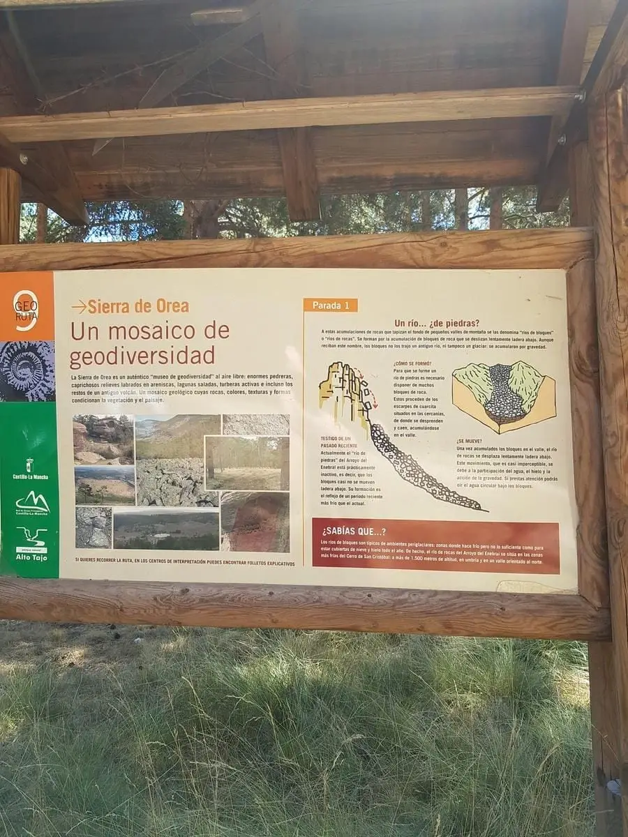
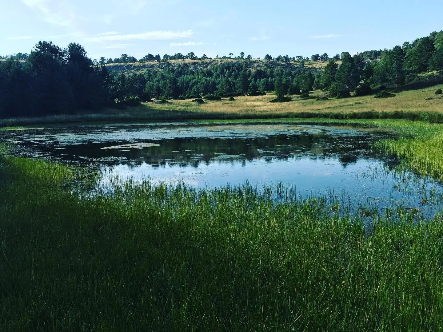
About 200 m from the trailhead in Orea, the enchanted rock city appears, sculpted by water and wind in sandstone; nearby are the Peñas Rubias corridors. Next, open Scots pine with creeping juniper, hawthorn, barberry, and common juniper, typical of high-elevation pine woods. Laguna de la Salobreja occupies the bottom of a polje, a large karstic depression.
The full loop
When fully reopened, the return leg descends through a meadow with a stone shelter to the Hoz Seca River, enclosed between limestone walls, crossing it multiple times. Willows, mountain elms, and ashes line the river, with a stand of holly and yew trees at Rocha de los Tejos on shaded slopes. That stretch must be avoided under storm risk.
Before you set out
Carry water, mountain footwear, and download the GPS track in advance: mobile reception is absent in many areas. Check the forecast on Today in the Alto Tajo and the official trail sheet for notices and closures, and respect seasonal restrictions during raptor breeding periods.
Official route · Parque Natural del Alto Tajo (Junta de Castilla-La Mancha). Description, track and notices on the official guide. Before setting out, verify there whether changes or closures apply.
Location
● Reference point · ● Villages · ● Places · ━ Simplified official route
Location diagram. Detailed map with tracks and names loads on zoom.
Reference villages: Orea · Checa · Alcoroches · Chequilla.
Open the full map and historical layers →