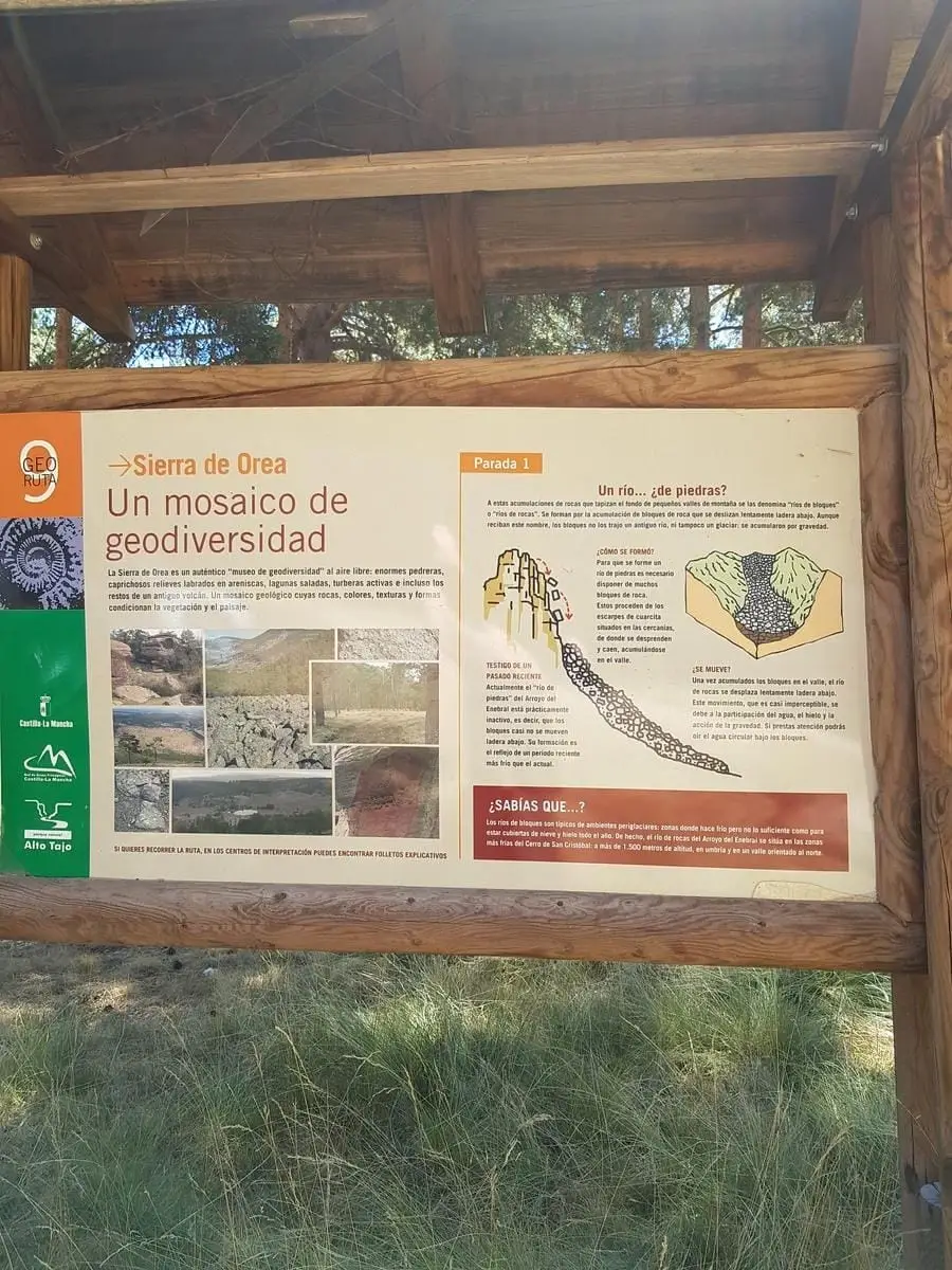
Geosite · Orea
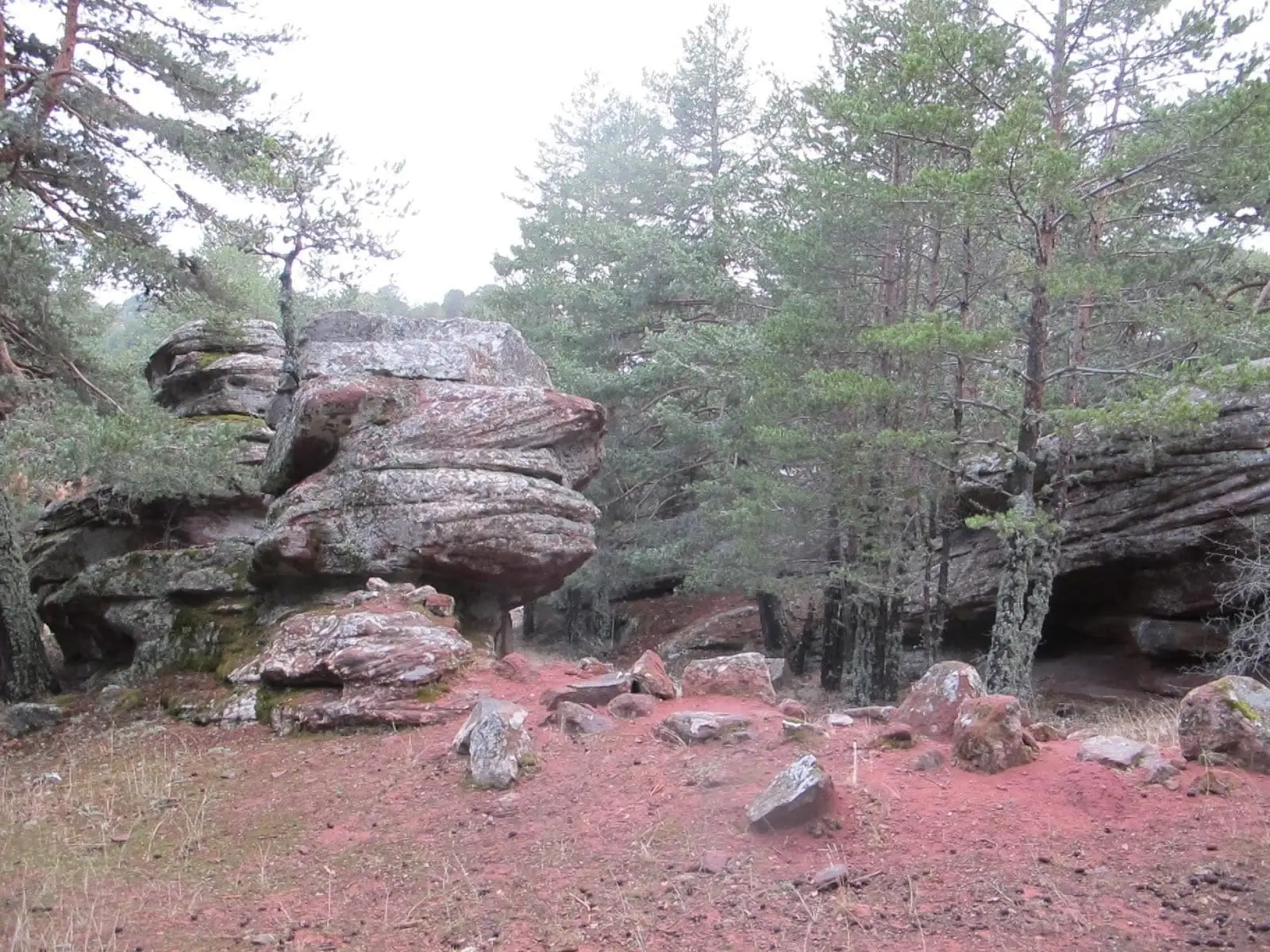
Corridors of Peñas Rubias: the enchanted city of Orea
The corridors of Peñas Rubias, known as the enchanted city of Orea, form a ruiniform landscape in sandstones and conglomerates near Laguna de la Salobreja. Erosion widens fractures into corridors and isolated monoliths, unlike karstic limestone dissolution.
Lands and landscapes
From here, follow the memory of the territory
These readings connect Corridors of Peñas Rubias: the enchanted city of Orea with the history, work, and villages around it.
This place across time
Which eras you can read here
A single place can preserve traces from different eras. These layers connect what you see with the stories in the atlas.
- Municipality
- Orea
- Province
- Guadalajara
- Altitude
- 1,563 m
- Sandstone enchanted city
- Rock joints
- Near La Salobreja
How a rock city forms
Sandstones and conglomerates are not monolithic blocks: they are crisscrossed by joints (diaclases), fractures along which erosion acts effectively. Water and tree roots penetrate and widen them over time, isolating large standing blocks. The outcome is a landscape of corridors and towers resembling ancient ruined ramparts.
Distinct from Cuenca
The Enchanted City of Cuenca is karstic: there, chemical dissolution of limestone is paramount. At Peñas Rubias, formed on sandstone, dissolution plays little role; physical fracturing and erosion drive the process.
Located near Laguna de la Salobreja, in Orea.
Location
● Reference point · ● Villages · ● Places
Location diagram. Detailed map with tracks and names loads on zoom.
Reference villages: Orea · Checa · Chequilla · Alcoroches.
Open the full map and historical layers →More geology and geosites nearby
View all →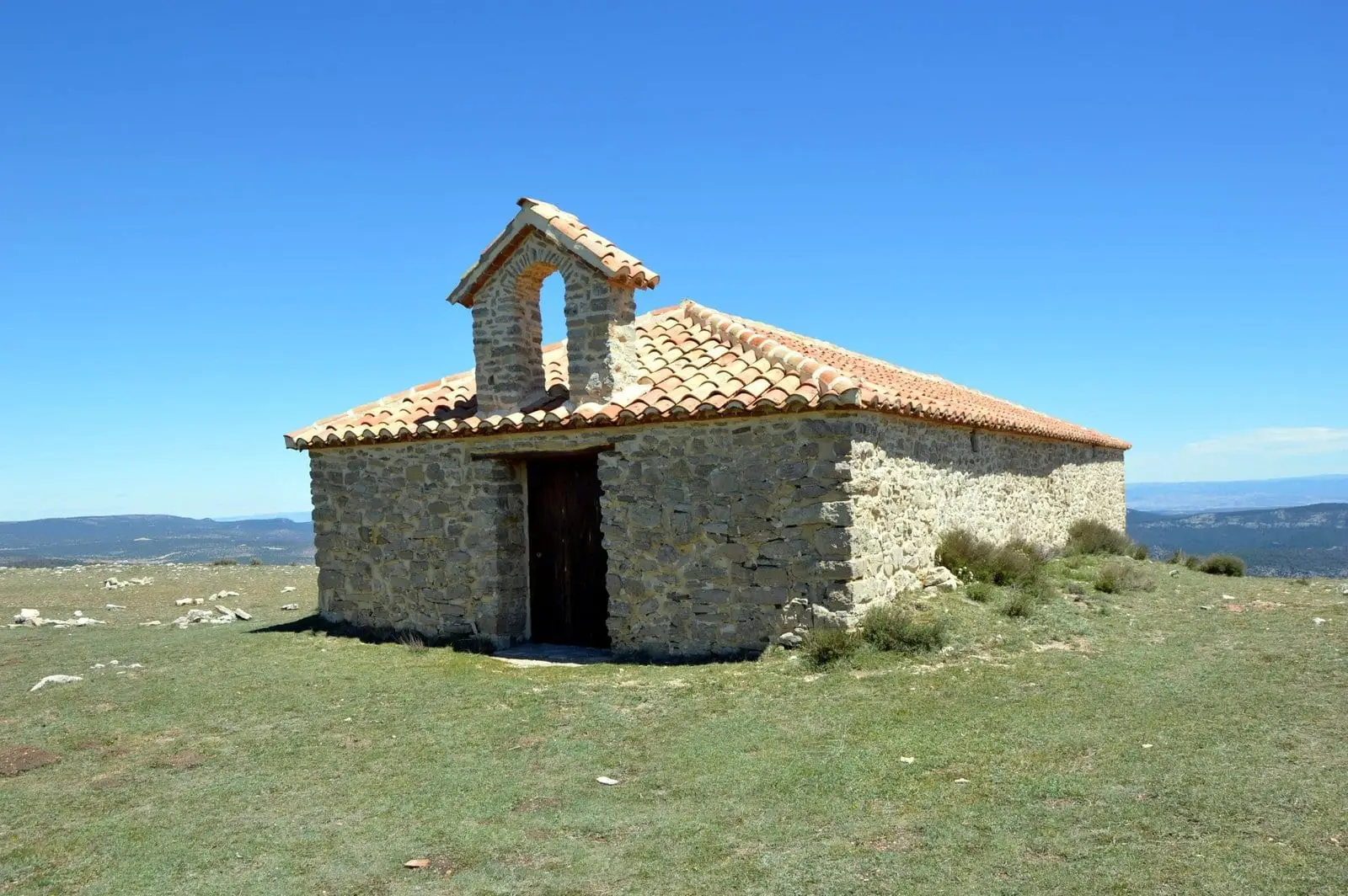
Cerro de San Cristóbal (Orea): 1,862 metres and dark night skies
Orea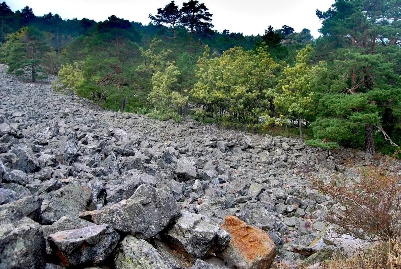
Orea Stone Run: a boulder river you can hear
Orea
Ancient volcano of Orea: 270-million-year-old dacites
OreaNearby routes
All routes →
Trail 17: Laguna de la Salobreja (Orea)
13.5 km · 5.5 h · CircularTrail 18: Arroyo del Enebral and San Cristóbal (Orea)
18.8 km · 4.5 h · Circular