Route · Poveda de la Sierra
Sendero 10: Trail 10: Salto de Poveda and Laguna de Taravilla
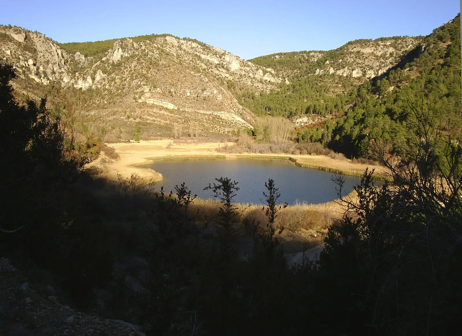
Circular trail of approx. 5 km and 2 hours linking Salto de Poveda and Laguna de Taravilla along both banks of the Tagus, moderate difficulty. Crosses the Camino Natural del Tajo footbridge, the anglers' walkway, and Casas del Salto. During regulated periods some parking areas require reservation and a fee; confirm dates and sector in Cañón del Tajo.
Lands and landscapes
From here, follow the memory of the territory
These readings connect Trail 10: Salto de Poveda and Laguna de Taravilla with the history, work, and villages around it.
- Code
- Sendero 10
- Distance
- 5 km
- Elevation gain
- 158 m
- Duration
- 2 h
- Trail type
- Circular
- Difficulty
- Moderate
- Altitude
- 1,119 m
Walking duration without transfers or stops. Difficulty rated according to the official source; verify its conditions and notices. “Easy” does not imply wheelchair or stroller accessibility.
- Sendero 10
- Circular trail
- Summer parking reservation
- Salto de Poveda
- Formerly RG PNAT 8
Where to start
You can begin at the Laguna de Taravilla parking area, reached via a 6.5 km unpaved track from Taravilla, or at the parking areas along the track to Salto de Poveda on either side of the river. Use designated parking areas and check the reservation advisory provided on this entry.
The route
A circular hike that can be done counter-clockwise along the right bank of the Tagus downriver, or clockwise by crossing the footbridge of the Camino Natural del Tajo. Along the way: Salto de Poveda, formed when the wall of a former hydroelectric dam failed; the anglers’ walkway, which requires caution after high-water events; and Casas del Salto. Between the houses and the footbridge, the path passes beneath hazel, lime, and whitebeam trees.
Difficulty and duration
Allow around 2 hours of walking time, plus stops. This atlas rates it as moderate difficulty; the Natural Park leaflet describes it as low-medium, and its route description notes it as straightforward. It is not an urban stroll: the path crosses uneven ground and footbridges that can become slippery. After heavy rain or snowmelt, check official advisories before crossing.
Before you set out
Carry water, sturdy hiking footwear, and download the GPS track in advance: mobile signal is absent across many stretches. Check the forecast on Today in the Alto Tajo and the official trail sheet for closures or notices, and respect seasonal restrictions during raptor nesting periods.
Official route · Parque Natural del Alto Tajo (Junta de Castilla-La Mancha). Description, track and notices on the official guide. Before setting out, verify there whether changes or closures apply.
Frequently asked questions
Is a reservation required to park at Salto de Poveda?
During regulated periods some parking areas require advance booking and a fee. Check the dates of your visit and selected sector in Cañón del Tajo; parking spaces are limited.
Location
● Reference point · ● Villages · ● Places · ━ Simplified official route
Location diagram. Detailed map with tracks and names loads on zoom.
Reference villages: Poveda de la Sierra · Taravilla · Baños de Tajo · Terzaga.
Open the full map and historical layers →