Geosite · Taravilla
Abandoned meander of Hoya de la Parra (Taravilla)
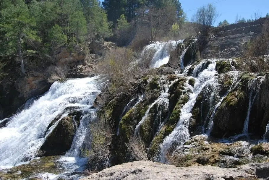
Hoya de la Parra is an abandoned meander of the Tagus River near Taravilla: a curved, flat-bottomed valley with steep walls where the river flowed thousands of years ago before taking a shortcut. Walking through it also reveals a cross-section of an anticline fold along the Tagus.
Lands and landscapes
From here, follow the memory of the territory
These readings connect Abandoned meander of Hoya de la Parra (Taravilla) with the history, work, and villages around it.
This place across time
Which eras you can read here
A single place can preserve traces from different eras. These layers connect what you see with the stories in the atlas.
- Municipality
- Taravilla
- Province
- Guadalajara
- Altitude
- 1,207 m
- Abandoned meander
- Anticline fold
- Georoute 7
- Sendero 10
A river that changed course
Rivers do not always flow in straight lines: they curve in meanders. Over time, erosion can cut through the neck of a loop, and the river takes the shortcut, leaving the old bed abandoned. That is Hoya de la Parra: a curved, flat-bottomed valley where thousands of years ago the Tagus ran, now an easy walk on foot.
What else to see
Beside the Tagus there is a distinct cross-section of an anticline fold. The best way to explore the area is via Georuta 7 or Sendero 10, which pass Laguna de Taravilla and Salto de Poveda.
Location
● Reference point · ● Villages · ● Places
Location diagram. Detailed map with tracks and names loads on zoom.
Reference villages: Poveda de la Sierra · Cueva del Hierro · Taravilla · Peralejos de las Truchas.
Open the full map and historical layers →More geology and geosites nearby
View all →
Nearby routes
All routes →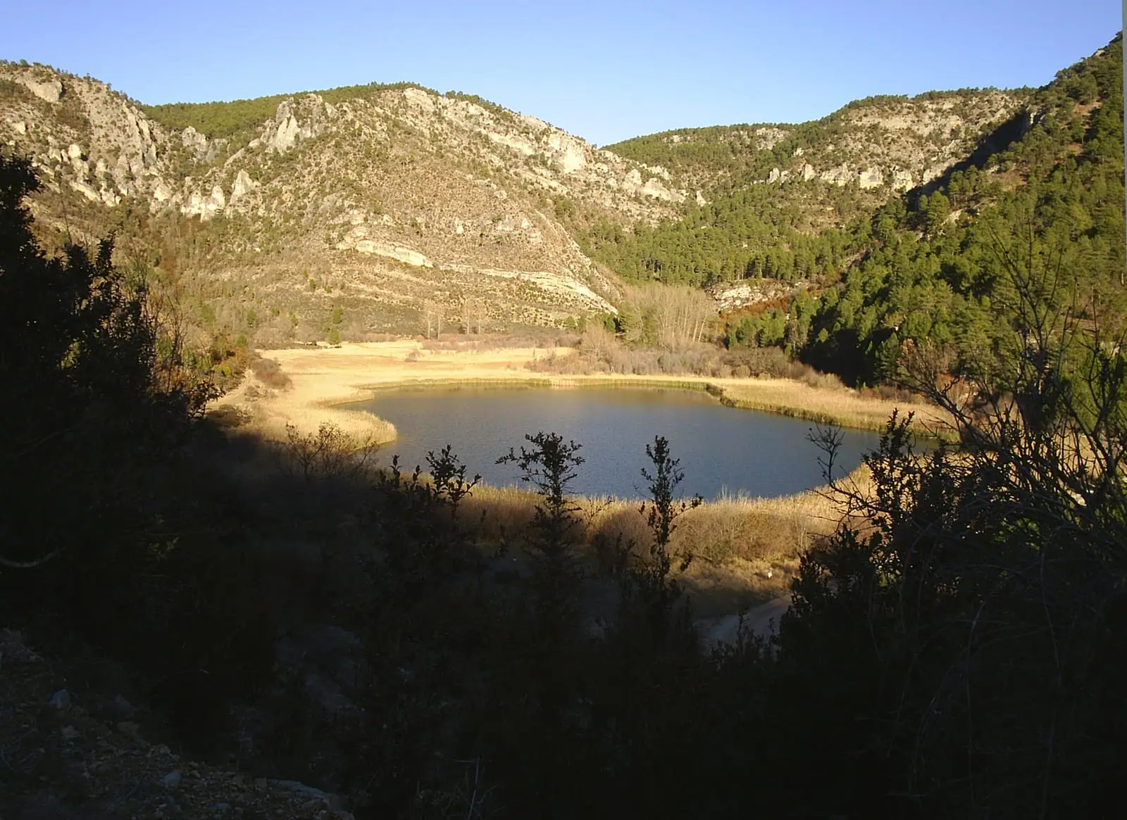
Trail 10: Salto de Poveda and Laguna de Taravilla
5 km · 2 h · CircularTrail 11: Barranco del Horcajo (Peralejos)
6.5 km · 3 h · Circular