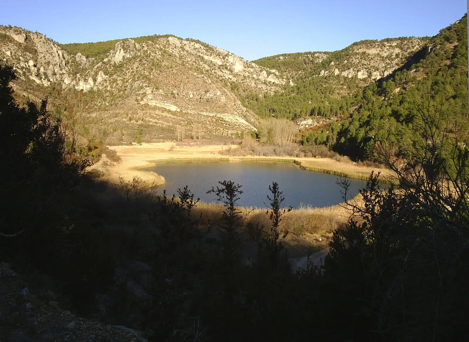
Waterfall · Poveda de la Sierra, Taravilla
Salto de Poveda: The Largest Waterfall in Alto Tajo
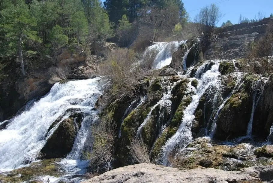
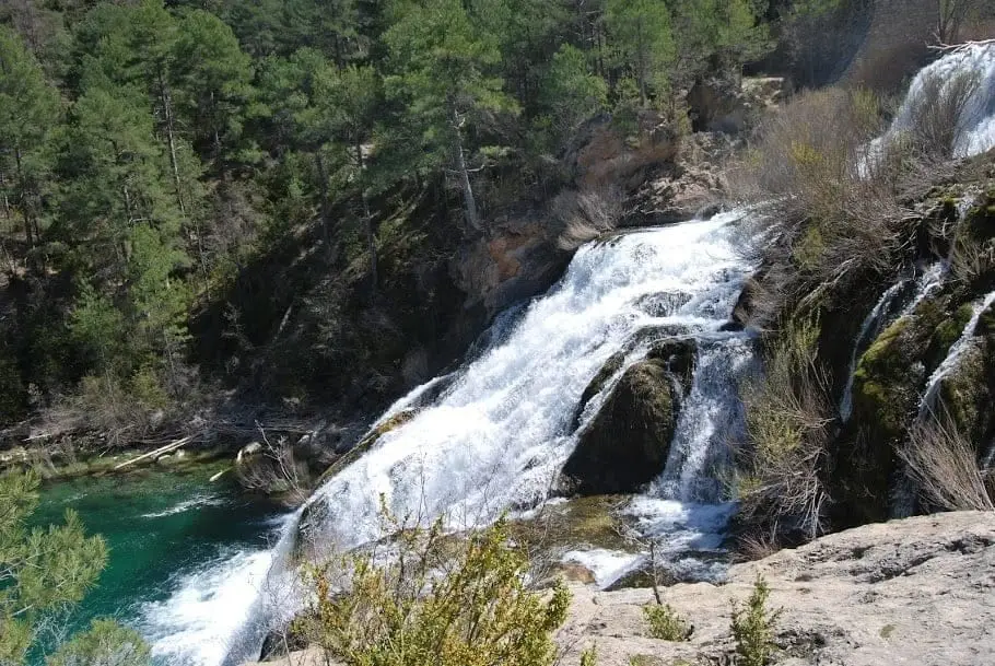
Salto de Poveda is the highest waterfall on the upper reaches of the Tagus River. It originated from a hydroelectric dam that never came into operation: leaks fractured it and the river has gradually encrusted it in calcareous tufa, turning it into a stepped cascade. It is one of the most visited spots in the Natural Park.
Rivers and basins
The thread of water from Salto de Poveda: The Largest Waterfall in Alto Tajo
Follow these watercourses towards their confluences, villages, and basin history.
Lands and landscapes
From here, follow the memory of the territory
These readings connect Salto de Poveda: The Largest Waterfall in Alto Tajo with the history, work, and villages around it.
This place across time
Which eras you can read here
A single place can preserve traces from different eras. These layers connect what you see with the stories in the atlas.
- Best season
- Spring
- Municipality
- Poveda de la Sierra
- Province
- Guadalajara
- Altitude
- 1,086 m
- Tufa waterfall
- Former hydroelectric dam
- Easy access
- Very crowded in summer
A waterfall that began as a dam
Decades ago, an attempt was made to build a hydroelectric station here to supply power to nearby villages. The dam wall was built, impounding water in the small Chorrera reservoir, but the work was never completed: leaks appeared that grew until they broke the structure.
What followed is the interesting part. The water of the upper Tagus carries dissolved calcium carbonate, and when churned in the fall it deposits it over any surface. Over the years, the river has coated the broken concrete with calcareous tufa, mosses, and plants, naturalizing the waterfall. Today it is hard to tell where human work ends and the cascade begins.
What to see on the visit
- The waterfall viewpoint, around the Casas del Salto; approach depends on the parking chosen.
- The remains of the power plant: the dam wall, spillways, and old workers’ barracks, today converted into accommodation.
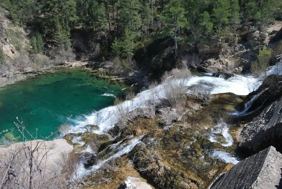
- The pools downstream, with a turquoise green color revealing dissolved lime in the water.
To extend the walk
The waterfall pairs very well with Laguna de Taravilla, another nearby tufa formation, on the circular Sendero 10, about 5 km and 2 hours, with riverbank steps and footbridges that require care. The riverside section runs under the shade of hazels, limes, and whitebeams, very welcome in midsummer.
Plan your visit
Dedicate half a day to the waterfall and lagoon together if you hike Sendero 10. This is a planning suggestion: the 2 hours of walking do not include photos, breaks, or car access.
Before you travel
Choose your parking first, then the direction of the walk. The waterfall and the circular route are different visits: to complete the trail you need hiking footwear and care on footbridges.
To combine
Continue with Laguna de Taravilla. Check its guide to decide if it fits in the same outing.
Photo: El Observario
Frequently asked questions
How do you reach Salto de Poveda?
There are parking areas by the Casas del Salto, close to the viewpoint itself, and around the Poveda de la Sierra bridge. In regulated season some require booking and payment; check Cañón del Tajo before going.
When does Salto de Poveda carry the most water?
In spring, between March and May, when the Tagus runs with greater flow due to rain and snowmelt. In summer it remains spectacular, but with less water.
Location
● Reference point · ● Villages · ● Places
Location diagram. Detailed map with tracks and names loads on zoom.
Reference villages: Poveda de la Sierra · Taravilla · Baños de Tajo · Peñalen.
Open the full map and historical layers →