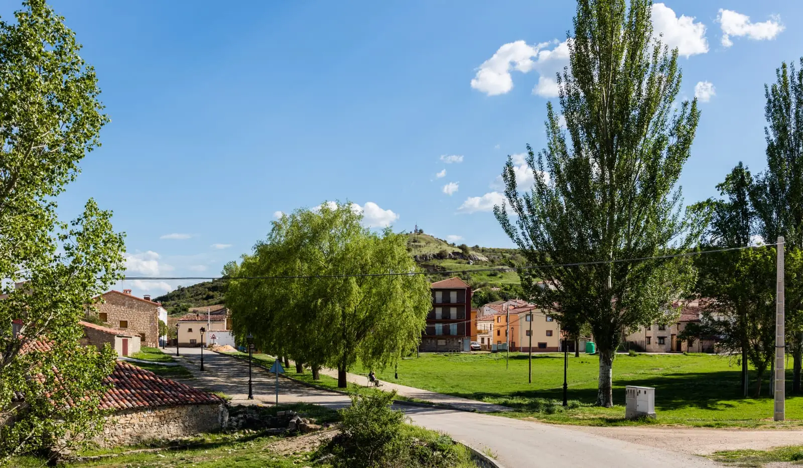
Bike route · Taravilla, Peralejos de las Truchas
Ruta BTT 3: MTB route 3: La Muela, between Taravilla and Peralejos
A linear route of around 24 km, of moderate difficulty and ideal for cycling, climbing among black and Scots pines, oaks and occasional holly to the limestone plateau, with views from Machorrillo and Pie Molino. Including the return it is around 35 km. There are no springs or places to sleep: bring water and food. It was formerly RG PNAT 4.
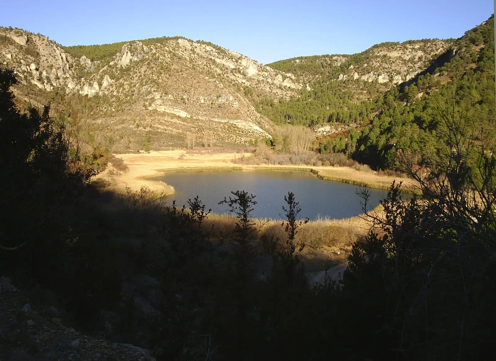
Lands and landscapes
From here, follow the memory of the territory
These readings connect MTB route 3: La Muela, between Taravilla and Peralejos with the history, work, and villages around it.
- Code
- Ruta BTT 3
- Distance
- 24 km
- Duration
- 6 h
- Trail type
- Linear
- Difficulty
- Moderate
- Altitude
- 1,112 m
Walking duration without transfers or stops. Check in the official source whether distance and time include the return leg. Difficulty rated according to the official source; verify its conditions and notices. “Easy” does not imply wheelchair or stroller accessibility.
- Ruta BTT 3
- Linear, 24 km
- No water fountains
- Viewpoints
Across the high plateau
The woodland climbs to the high plateau of Muela de Utiel. Two spur trails lead to viewpoints:
- El Machorrillo: the Tagus canyon, Muela del Conde, and Laguna de Taravilla.
- Pie Molino: Altos de la Campana, Peralejos de las Truchas, and the shaded slopes of Belvalle.
Wildlife
It is easy to spot red deer and fallow deer and woodland birds: chaffinches, greenfinches, crossbills, blue tits, great tits, great spotted woodpeckers, and Eurasian jays. From the viewpoints, with luck, golden eagles, peregrine falcons, and Egyptian vultures.
Caution
The limestone plateau has chasms and sinkholes: do not leave the tracks. Starts near the Huerta del Forestal recreation area, in Taravilla.
By bicycle
Carry a helmet, water, food, and tools: many tracks in the Natural Park are long, lacking fountains or mobile reception. Ride slowly, yield to walkers, and remain on authorised tracks.
Before you set out
Carry water, mountain footwear, and download the GPS track in advance: mobile reception is absent in many areas. Check the forecast on Today in the Alto Tajo and the official trail sheet for notices and closures, and respect seasonal restrictions during raptor breeding periods.
Official route · Parque Natural del Alto Tajo (Junta de Castilla-La Mancha). Description, track and notices on the official guide. Before setting out, verify there whether changes or closures apply.
Location
● Reference point · ● Villages · ● Places · ━ Simplified official route
Location diagram. Detailed map with tracks and names loads on zoom.
Reference villages: Taravilla · Baños de Tajo · Terzaga · Poveda de la Sierra.
Open the full map and historical layers →