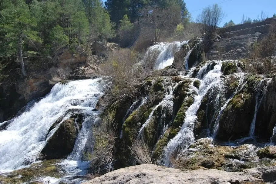
Geosite · Peralejos de las Truchas
Muela de Utiel: the great karst plateau between Tagus and Cabrillas
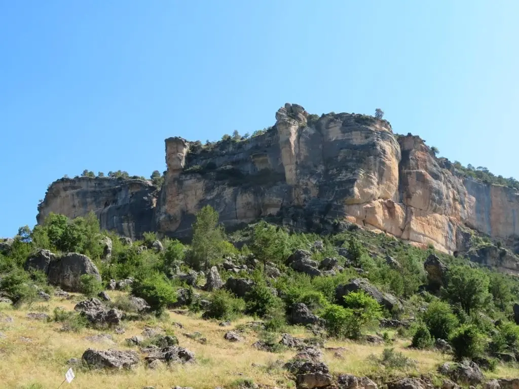
The Muela de Utiel is an extensive pine-covered limestone plateau of roughly 3,000 hectares reaching 1,505 metres altitude, between the Tagus and Cabrillas rivers. A major karst area hosting Cueva del Tornero and the 149-metre Sima del Bochorno. Viewpoints like Pie Molino and El Machorrillo dot its rim.
Lands and landscapes
From here, follow the memory of the territory
These readings connect Muela de Utiel: the great karst plateau between Tagus and Cabrillas with the history, work, and villages around it.
- Municipality
- Peralejos de las Truchas
- Province
- Guadalajara
- Altitude
- 1,447 m
- 3,000 ha
- 1,505 m
- Karst
- Viewpoints
- Old pines and junipers
A plateau above two rivers
The muela is a broad tableland rising between the valleys of the Tagus and Cabrillas rivers, blanketed in pine woods. Across the top grow ancient pines and junipers above a dense understory of box; at its rims, open rocky prows serve as natural balconies.
The Utiel and Hoz Seca karst
Beneath the surface lies one of the most significant karst networks in the region, including Cueva del Tornero and the 149-metre-deep Sima del Bochorno. For this reason, watch your footing when walking: keep an eye out for natural shafts, even though most are fenced.
Viewpoints and trails
Mirador Pie Molino, overlooking Peralejos, and Mirador del Machorrillo to the west. The Ruta BTT 3, La Muela trail traverses the plateau rim.
Location
● Reference point · ● Villages · ● Places
Location diagram. Detailed map with tracks and names loads on zoom.
Reference villages: Peralejos de las Truchas · Megina · Poveda de la Sierra · Cueva del Hierro.
Open the full map and historical layers →More geology and geosites nearby
View all →Nearby routes
All routes →