Geosite · Taravilla
Muela del Conde (Taravilla): the boldest mountain in the Park
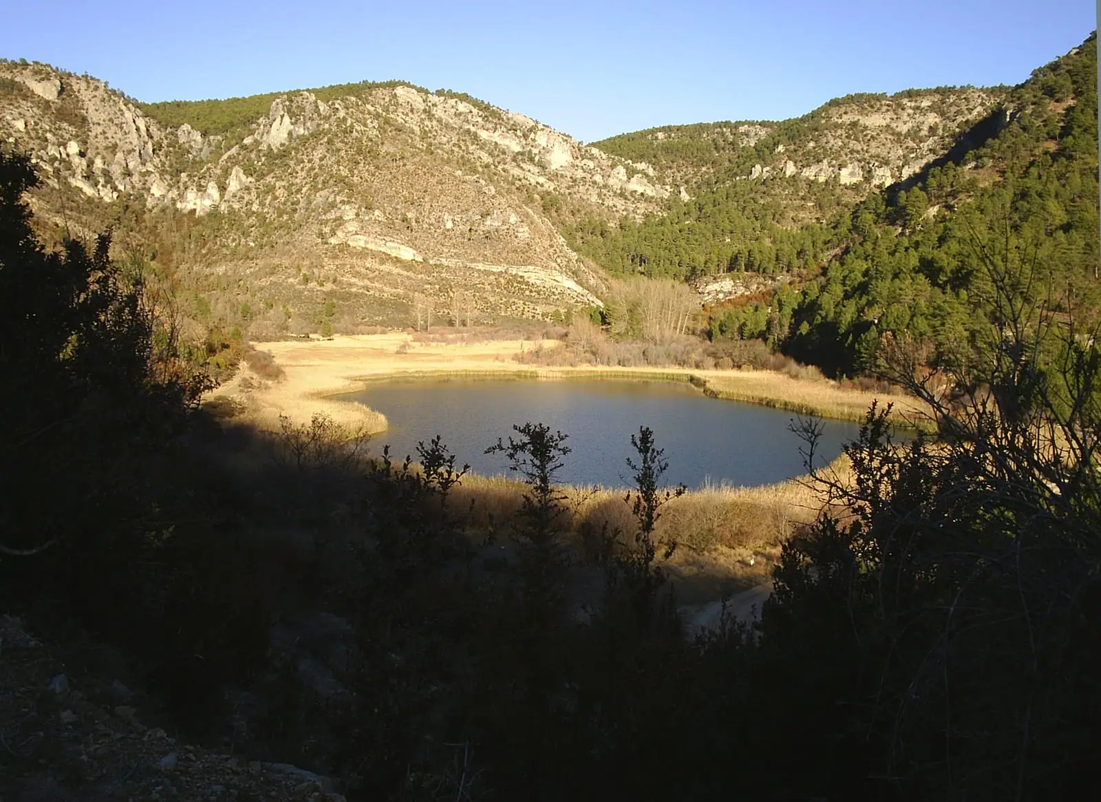
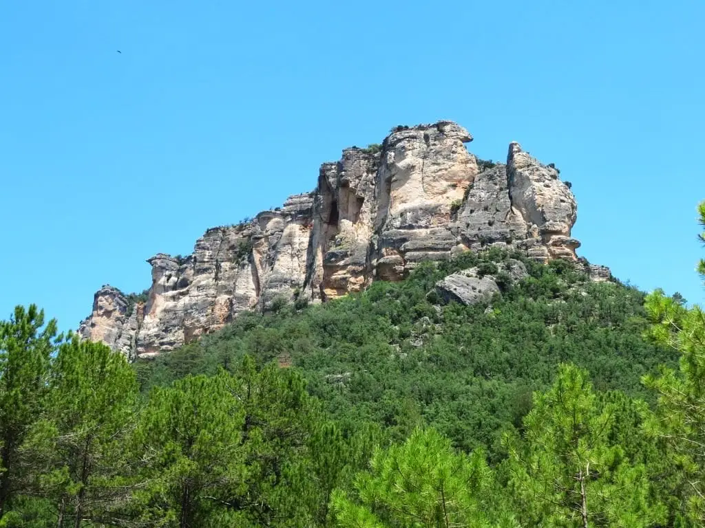
The Muela del Conde, at 1,454 metres, is one of the boldest landforms in the Alto Tajo Natural Park. It rises on the right bank of the Tagus right next to Laguna de Taravilla and Salto de Poveda, yet the mountain itself receives very few hikers. Its cliffs host griffon vultures and traditional climbing routes.
Lands and landscapes
From here, follow the memory of the territory
These readings connect Muela del Conde (Taravilla): the boldest mountain in the Park with the history, work, and villages around it.
- Municipality
- Taravilla
- Province
- Guadalajara
- Altitude
- 1,433 m
- 1,454 m
- Griffon vultures
- Climbing
- Rarely climbed
The mountain everyone sees and few climb
It stands right beside two of the most visited spots in the Park, Laguna de Taravilla and Salto de Poveda, yet hardly anyone makes the climb. Its profile catches the eye from the viewpoints of Fina, El Machorrillo, and Cueva del Febrero.
Vultures and climbers
Its vertical cliffs are nesting and roosting ledges for griffon vultures, which glide overhead in steady numbers. It also features several traditional climbing routes; please respect seasonal closures during raptor breeding periods.
Location
● Reference point · ● Villages · ● Places
Location diagram. Detailed map with tracks and names loads on zoom.
Reference villages: Poveda de la Sierra · Taravilla · Baños de Tajo · Peñalen.
Open the full map and historical layers →