Geosite · Checa
Sierra Molina: Ancient Dehesa of Transhumance
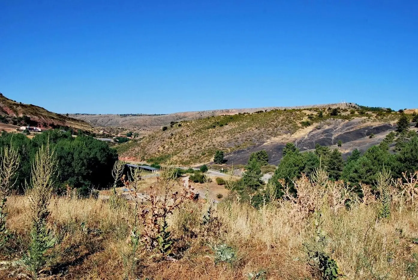
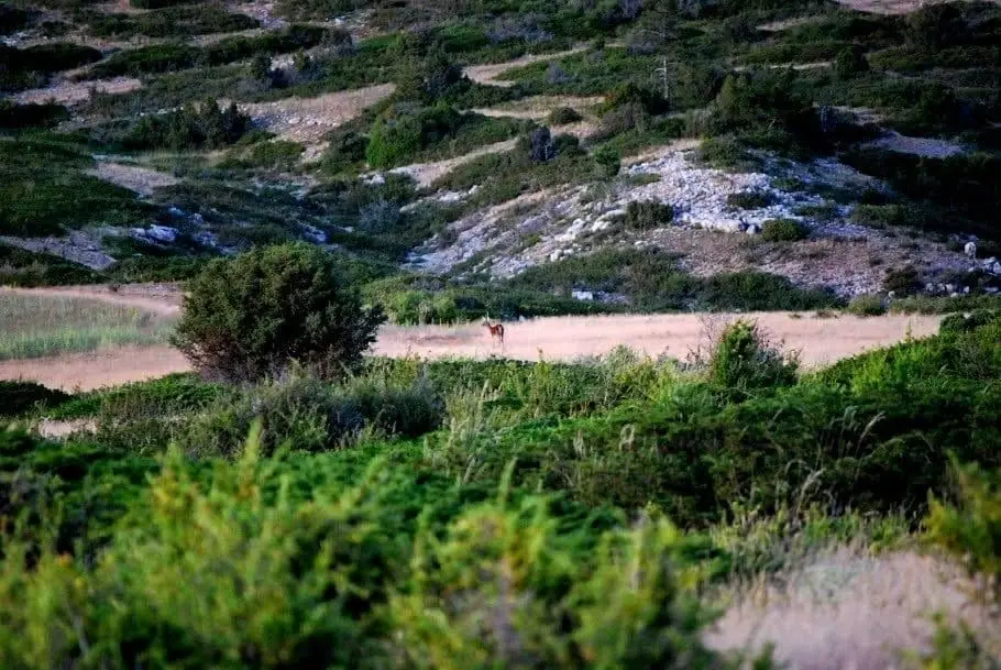
Sierra Molina is one of the wildest corners of Alto Tajo, within Checa's municipality, historically bounded by the Hoz Seca, the Tagus, and the lands of Albarracín. Its high elevation thwarted permanent settlement. It served as a vast communal pasture free of charge, vital for transhumance, while timber and charcoal paid taxes to Molina and its Land.
Lands and landscapes
From here, follow the memory of the territory
These readings connect Sierra Molina: Ancient Dehesa of Transhumance with the history, work, and villages around it.
- Municipality
- Checa
- Province
- Guadalajara
- Wild landscape
- Transhumance
- Drove roads
- History of the Señorío
Too high for living
The altitude and relief of Sierra Molina caused any attempt to settle a permanent population to fail. For this reason, it remains one of the wildest corners of Alto Tajo.
A unique dehesa
Its pastures were free of charge, but timber and charcoal paid a fee split equally between the Council of Molina and the Community of the Land of Molina. Because of its extent and free grazing, it was a vital enclave for transhumance, and numerous drove roads passed through it. The liberal confiscations greatly reduced its surface area.
From here you can see the Altos de la Campana and the source of many streams of the upper Tagus.
Location
● Reference point · ● Villages · ● Places
Location diagram. Detailed map with tracks and names loads on zoom.
Approximate position: village centre.
Reference villages: Checa · Chequilla · Alcoroches · Orea.
Open the full map and historical layers →More geology and geosites nearby
View all →Checa Graptolites: Fossils That Look Like Writing
ChecaPoljé del Cubillo (Checa): a closed karst valley
ChecaLa Tejera experimental area (Checa): the ten rocks of the Park
Checa