Castle · Castilnuevo
Castle of Castilnuevo: from fortress to palatial manor
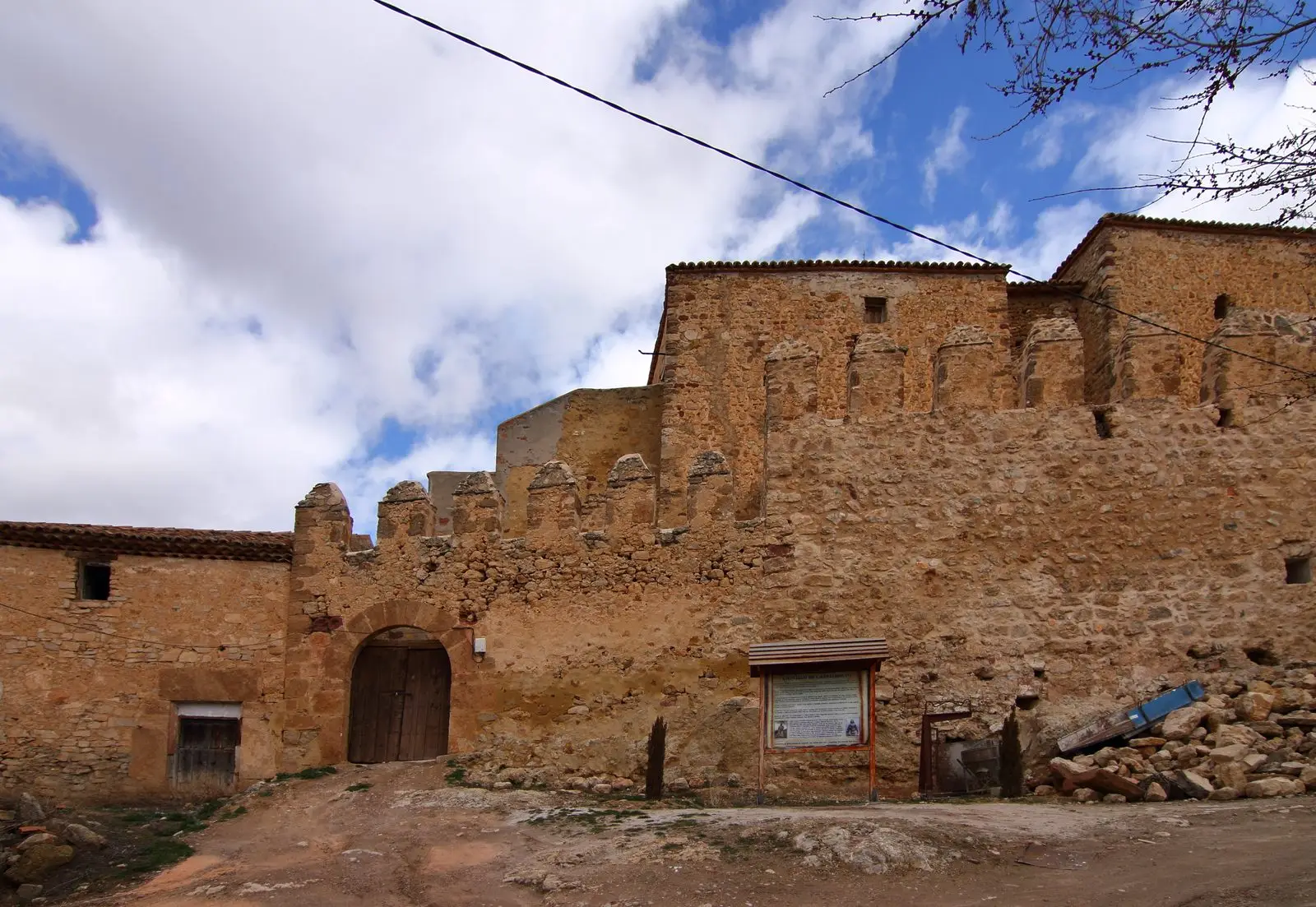
The castle of Castilnuevo, roughly five kilometres from Molina de Aragón, is a fortified manor already cited in the 12th-century Fuero de Molina. It featured a trapezoidal plan, a keep, and corner towers. It passed through various noble hands to the Mendoza family of Molina and was transformed into a palatial residence. It is private property today.
This place across time
Which eras you can read here
A single place can preserve traces from different eras. These layers connect what you see with the stories in the atlas.
- Municipality
- Castilnuevo
- Province
- Guadalajara
- Altitude
- 1,080 m
- 12th century
- Fuero de Molina
- Palatial manor
- Private property
Beside Molina
The castle of Castilnuevo stands atop a small hill commanding the Gallo valley, in close proximity to Molina de Aragón. Its existence is documented in the 12th century by its inclusion in the Fuero de Molina, closely associated with the conquest of the territory by Alfonso I of Aragon in the 1120s.
From noble fortress to palace
After reverting to the Crown, Pedro I granted the estate to Íñigo López de Orozco, through whom it eventually passed to the Mendoza family of Molina. It possessed a trapezoidal ground plan, a central keep, and square towers at the corners of its defensive perimeter. Over time, it was renovated into a residential palace, reaching modern times in that form.
Visiting
It is a private residence: it can be viewed only from the outside. Recent archaeological excavations have provided greater detail on its phased construction.
Location
● Reference point · ● Villages · ● Places
Location diagram. Detailed map with tracks and names loads on zoom.
Reference villages: Castilnuevo · Molina de Aragón · Torremochuela · Prados Redondos.
Open the full map and historical layers →More castles and fortresses nearby
View all →
Nearby routes
All routes →
GR-160, Camino del Cid, through the Señorío de Molina
The Camino de los Tratantes: from Molina de Aragón to Motos