Village · Guadalajara · 1,117 m
Chera
Chera is a hamlet of Prados Redondos at about 1,120 metres, on the banks of the Gallo river in a steep and wooded setting. It has about fifty houses, few occupied in winter, but approaching four hundred residents in August. Across the river lies the Barrio del Marqués, home to the Marquis of Santa Coloma. Beside it stands the Celtiberian castro of La Coronilla.
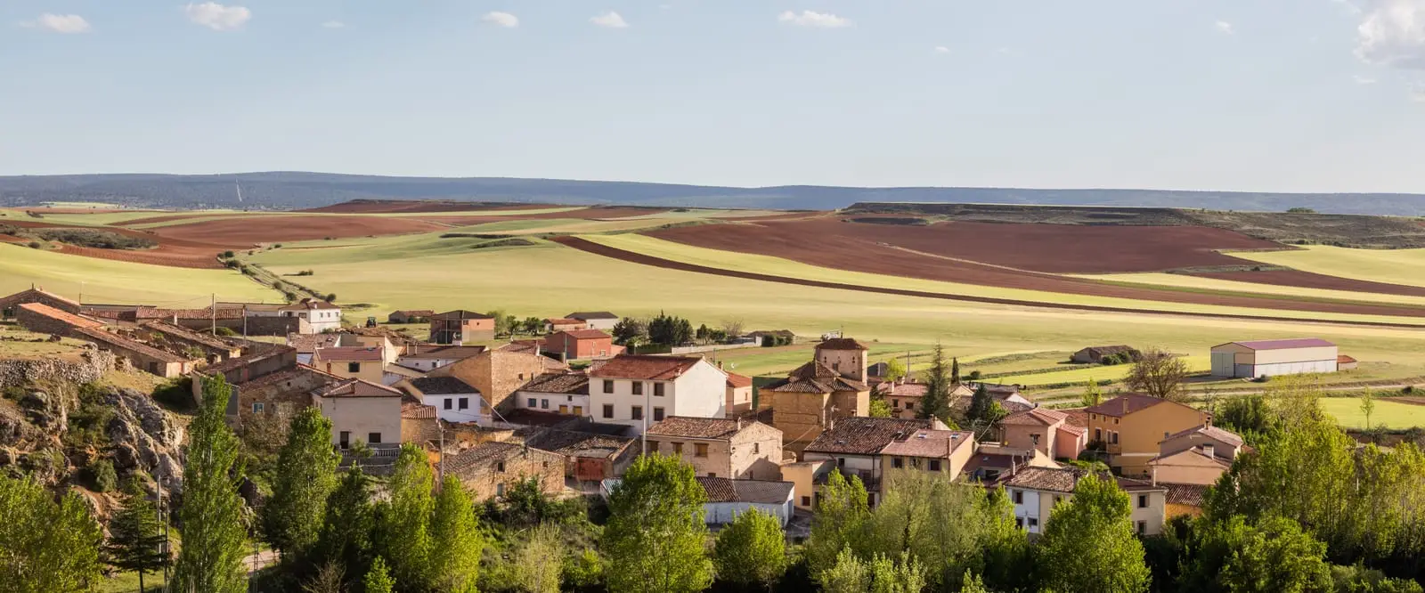
Traces in the village and its surroundings
Which eras you can read here
A single place can preserve traces from different eras. These layers connect what you see with the stories in the atlas.
What to see in Chera
- The castro de La Coronilla, a Celtiberian settlement atop an isolated hill, excavated in the 1980s.
- The church of La Asunción and the hermitage of La Soledad (1694), on the road to Prados Redondos.
- The Barrio del Marqués, across the Gallo, reached in 1850 by a wooden footbridge. The Marquis of Santa Coloma, a major landowner in the area, kept his manor house there.
A summer village
Chera stands beside the Gallo river, in a rugged and lush setting. It contains about fifty houses; few are lived in during winter, but in August the population can approach four hundred. It is a hamlet of Prados Redondos.
Nearby
Castellar de la Muela, three kilometres away, with the hermitage of La Carrasca.
Places in and around Chera
Near Chera
Hermitage of the Virgen de la Carrasca: Romanesque in Sierra de Caldereros
Castellar de la MuelaCastro de El Castillejo (Anquela del Pedregal): two enclosures upon a hill
Anquela del Pedregal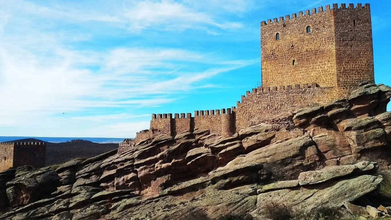
Castle of Zafra: the rock fortress of the Sierra de Caldereros
Hombrados Open-Air Museum: farm machinery in the streets
Hombrados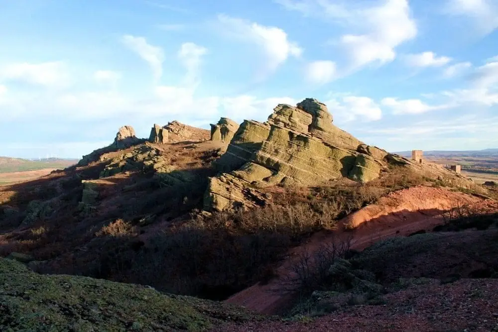
Sierra de Caldereros: Red Sandstone and Zafra Castle
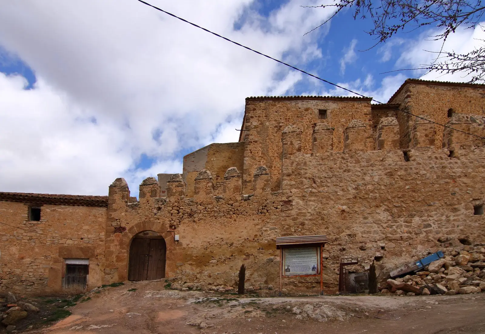
Castle of Castilnuevo: from fortress to palatial manor
CastilnuevoFortified house of La Bujeda (Traíd)
TraídPonce de León Tower (Cubillejo de la Sierra) and its Museum
Cubillejo de la SierraChera has no separate census: its residents are recorded under the municipality of Prados Redondos.
Climate in Chera month by month
2015–2024 averages from Copernicus ERA5 reanalysis for an altitude of approx. 1,117 m. Useful for planning, not a substitute for live forecasts.
Location
● Reference point · ● Villages · ● Places
Location diagram. Detailed map with tracks and names loads on zoom.
Reference villages: Prados Redondos · Castellar de la Muela · Torrecuadrada de Molina · Morenilla.
Open the full map and historical layers →