Museum · Zaorejas
Tagus River Visitor Centre (Zaorejas)
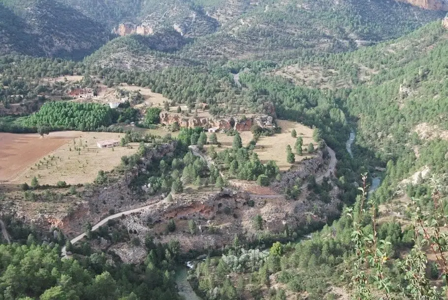
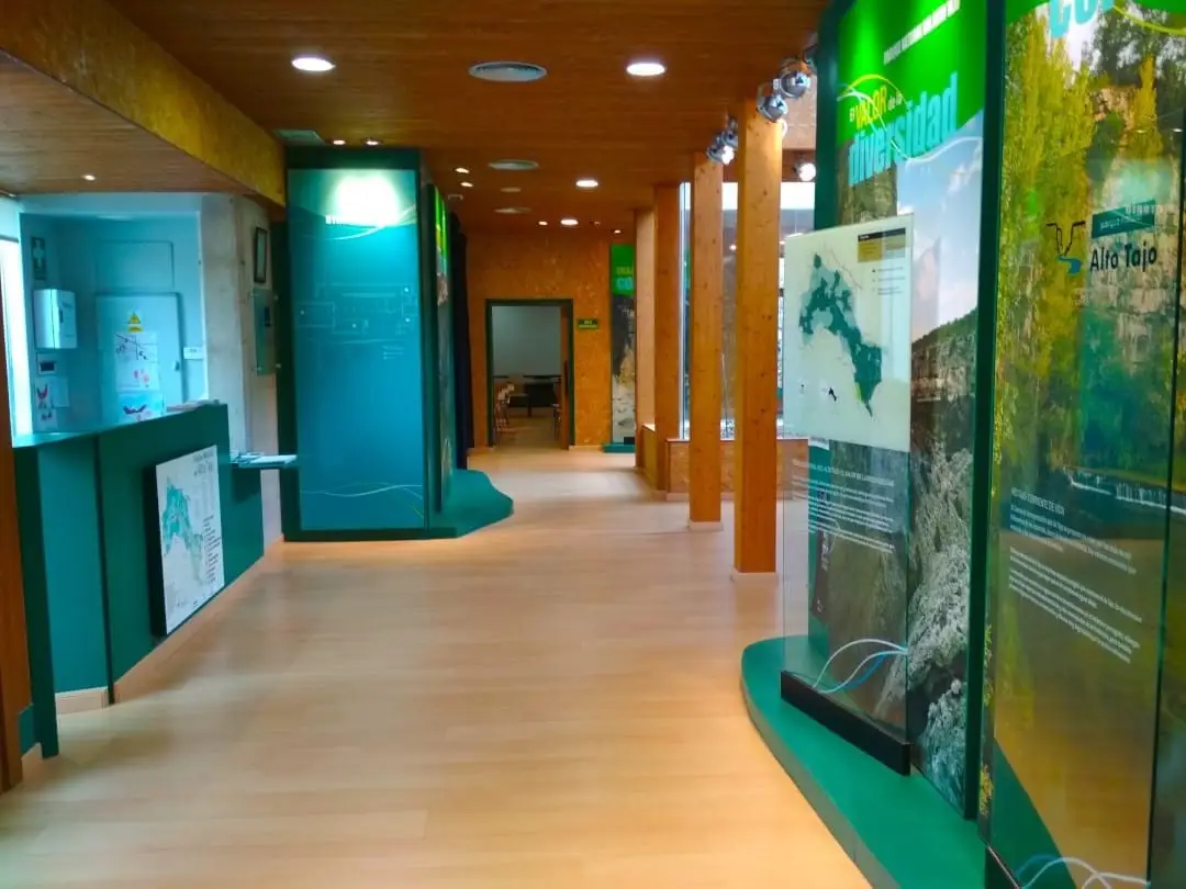
The Tagus River Visitor Centre in Zaorejas interprets the river from its headwaters to its mouth in Lisbon, with special focus on its course through the Natural Park: canyon wildlife, human interactions with the river for energy, sustenance, and log driving, alongside a journey through its thousand kilometres of natural wealth and challenges.
Lands and landscapes
From here, follow the memory of the territory
These readings connect Tagus River Visitor Centre (Zaorejas) with the history, work, and villages around it.
- Municipality
- Zaorejas
- Province
- Guadalajara
- Altitude
- 1,231 m
- Canyon wildlife
- Man and river
- 1,000 km of the Tagus
- Log drivers
Three themes to understand the Tagus
- Life in the canyons: from the geological origin of the limestone gorges to the specialized fauna and flora inhabiting their cliffs.
- Humans and the river: historical utilization of the Tagus for water power, fisheries, and timber transport, prominently featuring the legacy of the timber rafters (gancheros).
- A thousand kilometres of life, a thousand kilometres of challenges: a geographic journey tracing the river course from its Iberian source down to the Atlantic estuary in Lisbon.
Ideal to combine with visits to Puente de San Pedro and Mirador del Tajo. Located in Zaorejas; check local opening schedules.
Location
● Reference point · ● Villages · ● Places
Location diagram. Detailed map with tracks and names loads on zoom.
Reference villages: Zaorejas · Huertapelayo · Villar de Cobeta · Buenafuente del Sistal.
Open the full map and historical layers →