Archaeological site · Zaorejas
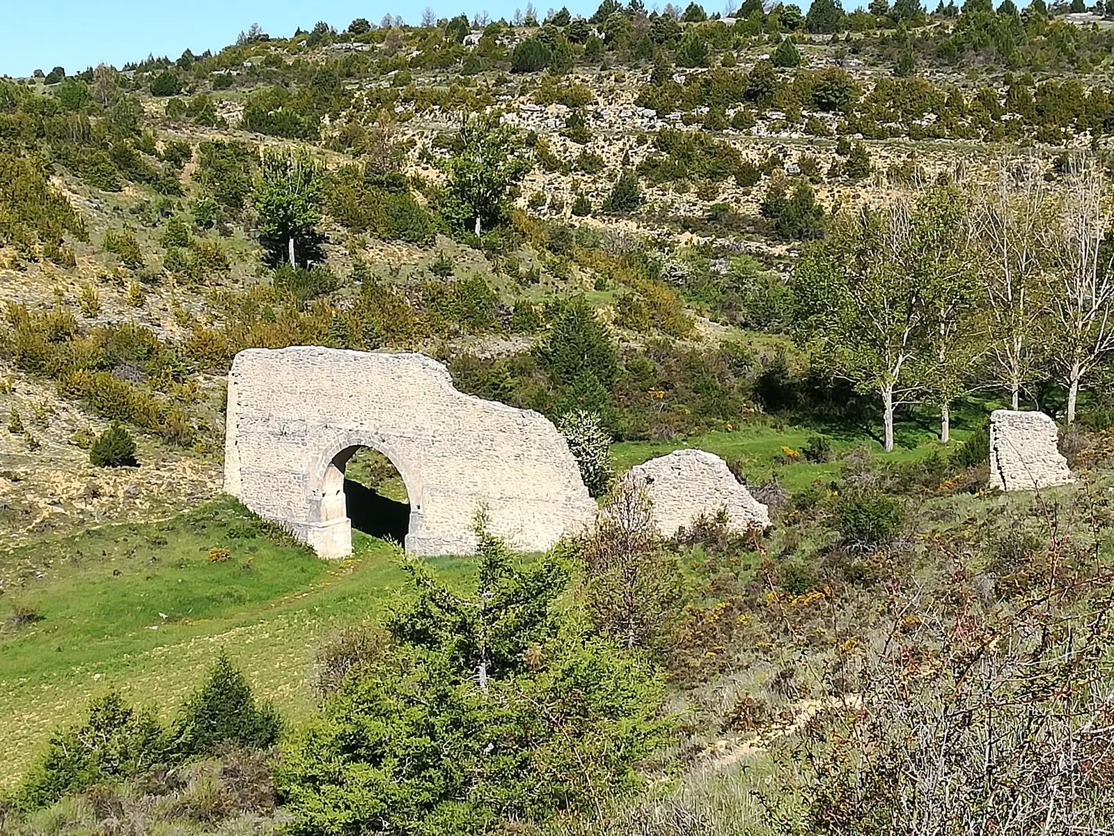
Aqueduct of Zaorejas: the 'Roman bridge' of Fuentelengua ravine
The aqueduct of Zaorejas, called 'el puente romano' in the village, is just over a kilometre south of the town centre in the Fuentelengua stream ravine. It has been considered the only known Roman aqueduct in Guadalajara, though its Roman attribution has been disputed. The quiet surroundings feature a small recreation area.
Lands and landscapes
From here, follow the memory of the territory
These readings connect Aqueduct of Zaorejas: the 'Roman bridge' of Fuentelengua ravine with the history, work, and villages around it.
This place across time
Which eras you can read here
A single place can preserve traces from different eras. These layers connect what you see with the stories in the atlas.
- Municipality
- Zaorejas
- Province
- Guadalajara
- Altitude
- 1,221 m
- Barranco de Fuentelengua
- Disputed attribution
- Fuente de los Chonos
- Short walk
Walking down into the ravine
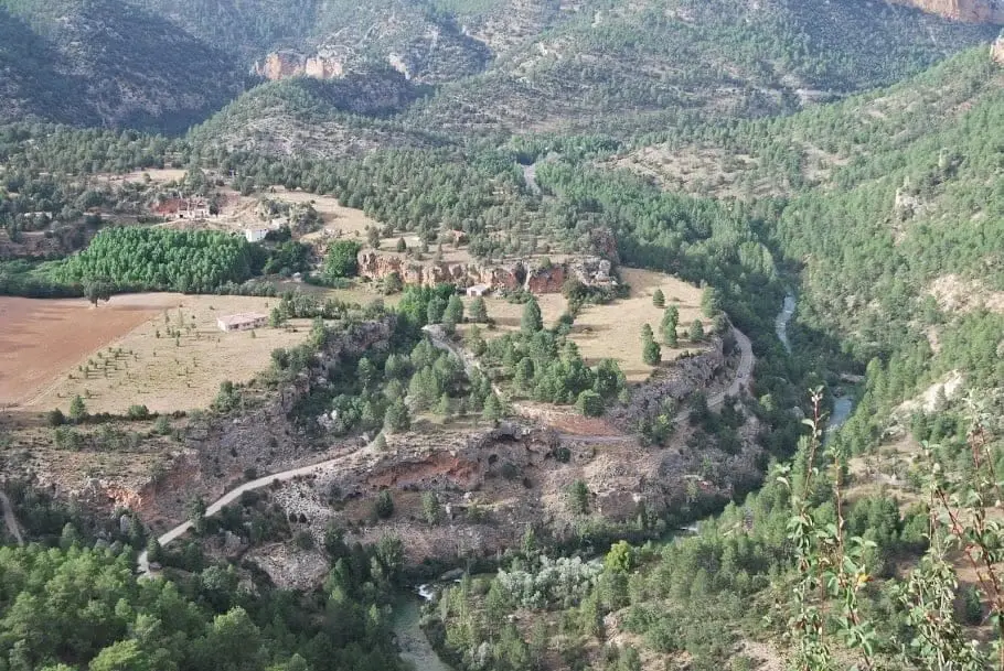
The walk down into the ravine of Arroyo Fuentelengua is an attraction in itself. Below, a marked path follows the stream bed and leads to a small recreation area with the Fuente de los Chonos. It is a solitary place of calm beauty.
Roman or not?
Roman presence in the Natural Park was brief, but left villas, roads, and, according to tradition, this aqueduct, which has been described as the only known Roman one in the province. However, its Roman attribution has been called into question by some studies. While it is clarified, the prudent approach is to call it by its local name: the Roman bridge. Located in Zaorejas.
Location
● Reference point · ● Villages · ● Places
Location diagram. Detailed map with tracks and names loads on zoom.
Reference villages: Zaorejas · Huertapelayo · Villar de Cobeta · Buenafuente del Sistal.
Open the full map and historical layers →