Village · Guadalajara · 1,299 m
Villanueva de Alcorón
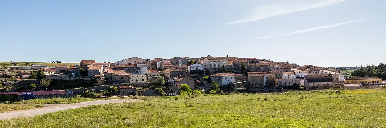
Villanueva de Alcorón is an Alto Tajo village at 1,300 metres on a plateau rich in chasms. It holds Sima de Alcorón, with steps descending 63 metres, and Pozo del Soto flooded mine. Przewalski's horses graze in its municipal pasture.
Lands and landscapes
From here, follow the memory of the territory
These readings connect Villanueva de Alcorón with the history, work, and villages around it.
Traces in the village and its surroundings
Which eras you can read here
A single place can preserve traces from different eras. These layers connect what you see with the stories in the atlas.
What to see
- Sima de Alcorón, with the La Zapatilla shelter.
- Pozo del Soto.
- Also the Celtiberian hillfort of Hoya del Villar, excavated since 2021.
Przewalski’s horses
In the municipal pasture of Villanueva graze Przewalski’s horses (Equus ferus przewalskii), the last truly wild horse in the world, as part of a rewilding initiative. They can be viewed through organized arrangements, without entering the enclosed estates independently.
Routes
The lime kiln trail and Georuta 6 towards Peñalén.
Places in and around Villanueva de Alcorón
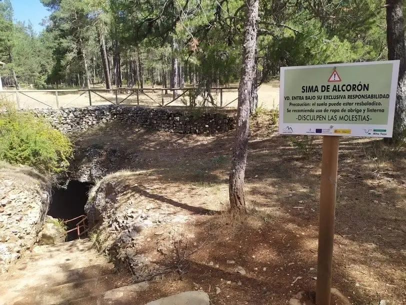
Sima de Alcorón: Descending 63 Metres to the Heart of the Paramera
Villanueva de Alcorón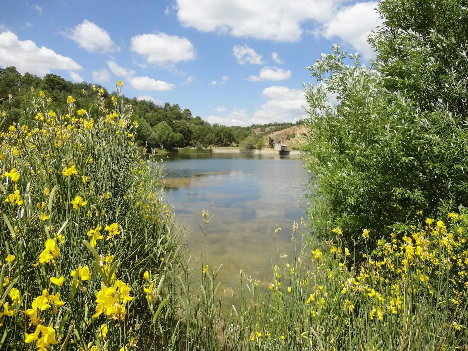
Pozo del Soto (Villanueva de Alcorón): a mine that became a lake
Villanueva de Alcorón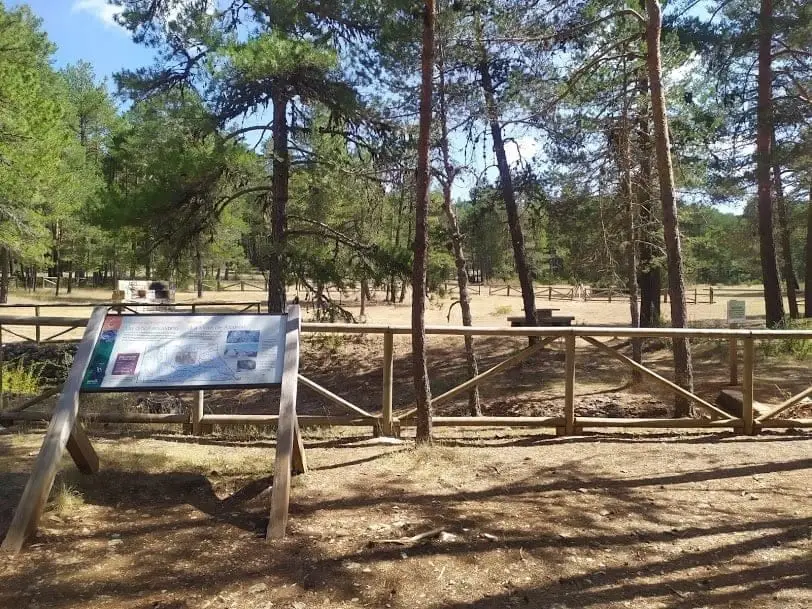
Sima de Alcorón recreation area
Villanueva de AlcorónLa Hoya del Villar hillfort (Villanueva de Alcorón): excavations in progress
Villanueva de AlcorónRoutes linked to Villanueva de Alcorón
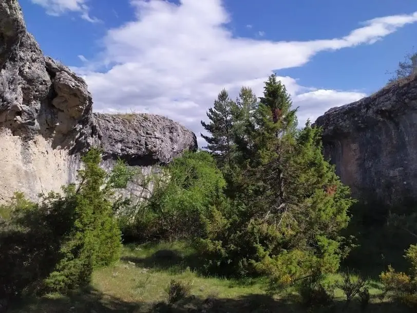
Near Villanueva de Alcorón
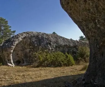
Serrezuela de Valsalobre: The Densest Chasm Area in Spain
Valsalobre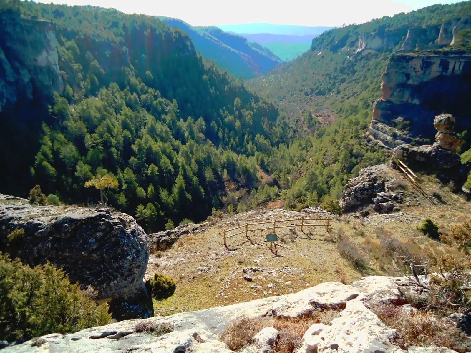
Barranco de la Hoz Somera (Serranía de Cuenca)
Carrascosa de la SierraChurch of the Natividad of Armallones: 13th-century Romanesque
Armallones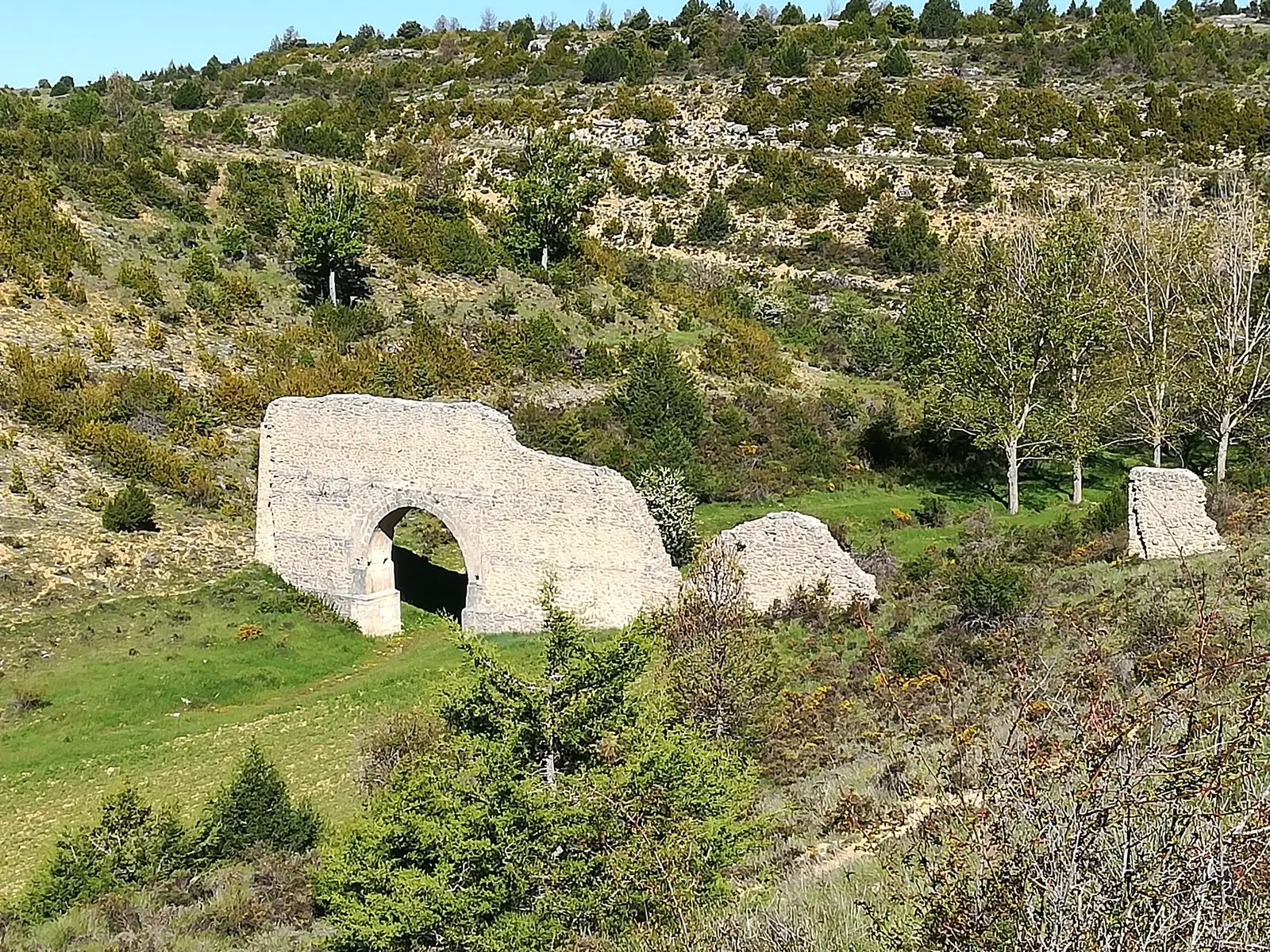
Aqueduct of Zaorejas: the 'Roman bridge' of Fuentelengua ravine
Zaorejas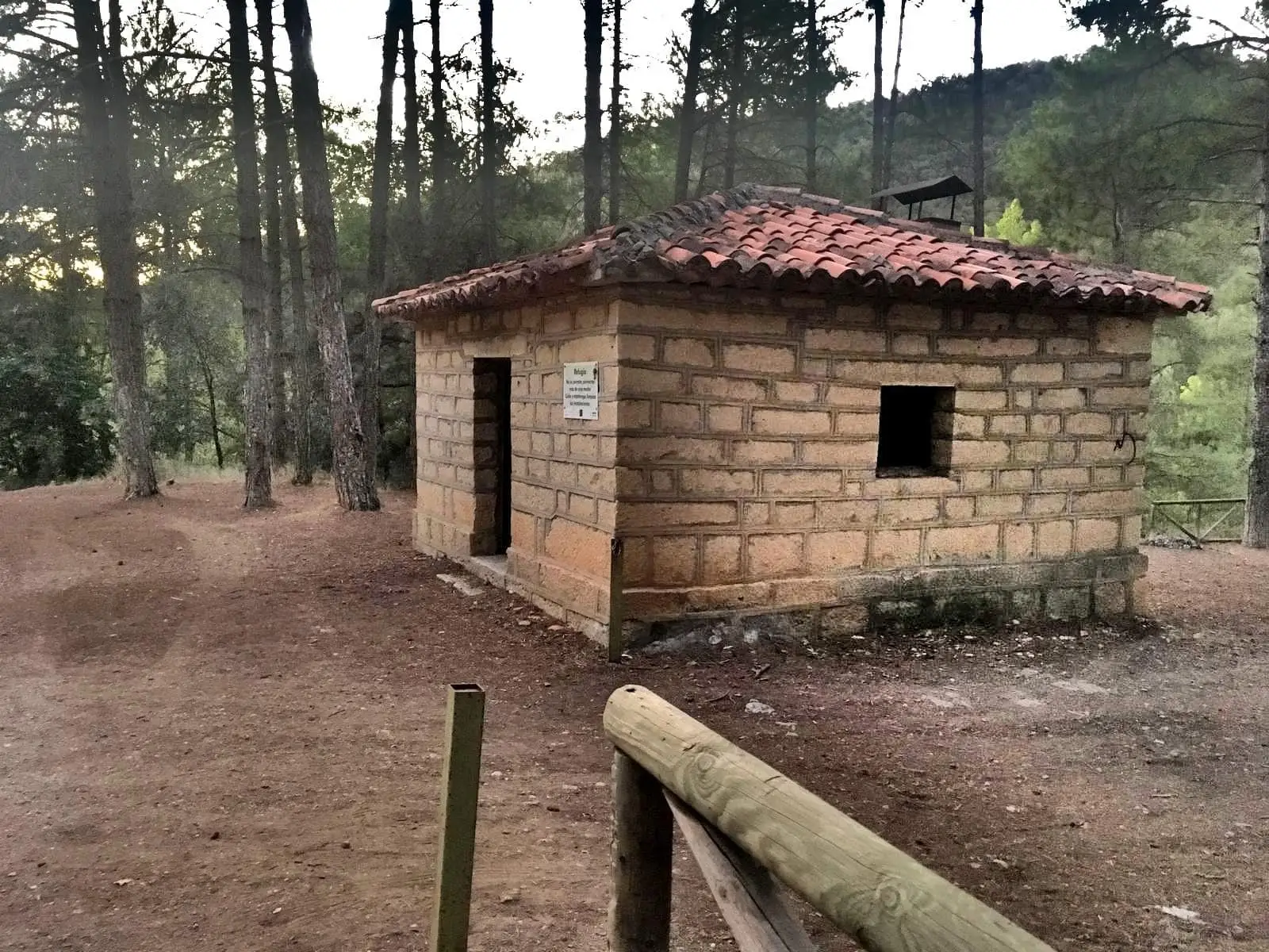
La Falaguera II recreation area
Zaorejas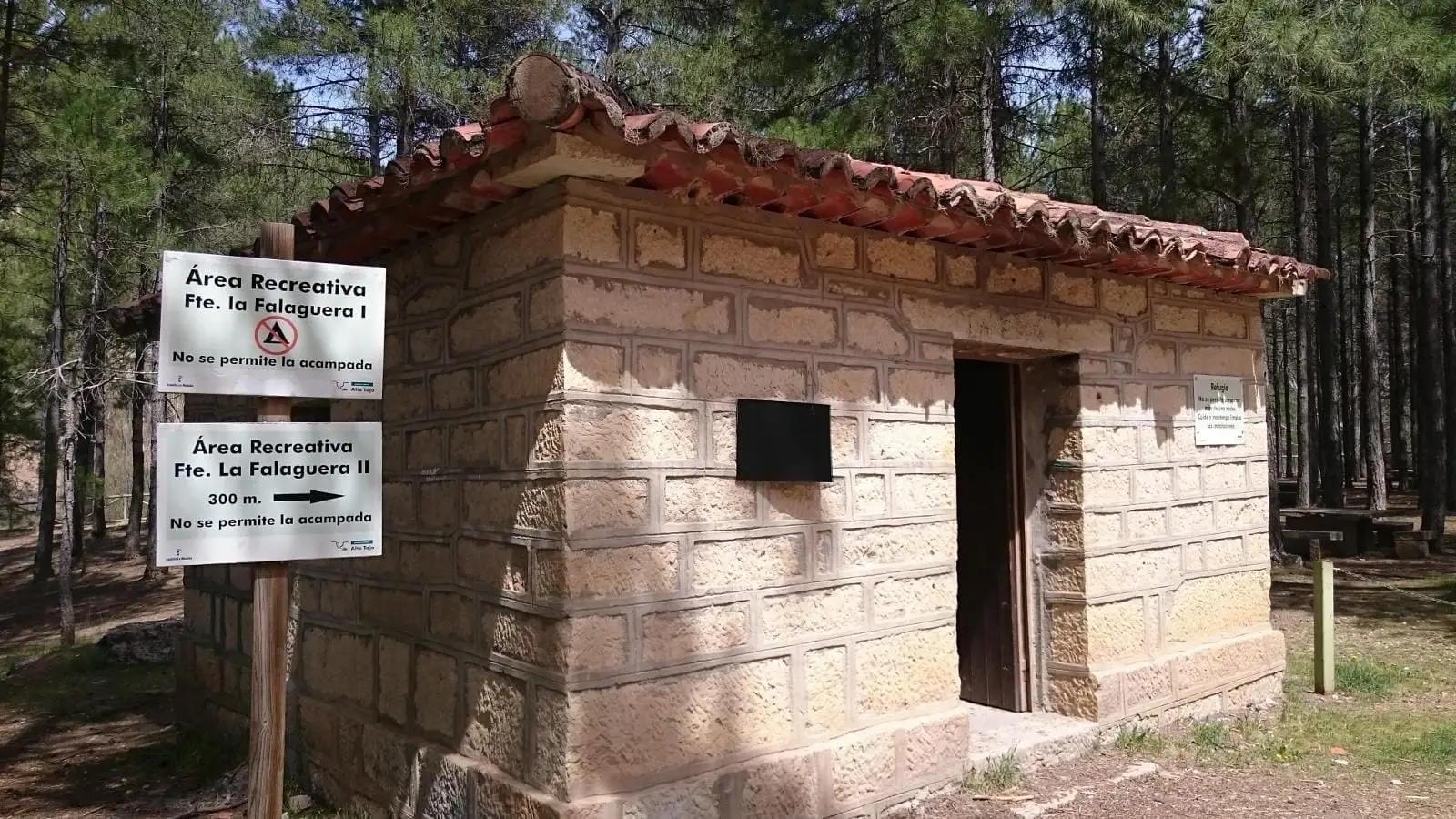
La Falaguera recreation area (Zaorejas)
ZaorejasPopulation of Villanueva de Alcorón, 1842–2021
Villanueva de Alcorón reached a peak of 811 inhabitants in 1940 . In the 2021 census there were 141 , a decrease of 83%. This is the history told in the emptying of the Alto Tajo.
Climate in Villanueva de Alcorón month by month
2015–2024 averages from Copernicus ERA5 reanalysis for an altitude of approx. 1,299 m. Useful for planning, not a substitute for live forecasts.
Location
● Reference point · ● Villages · ● Places
Location diagram. Detailed map with tracks and names loads on zoom.
Reference villages: Armallones · El Recuenco · Zaorejas · Carrascosa de la Sierra.
Open the full map and historical layers →