Cave · Villanueva de Alcorón
Sima de Alcorón: Descending 63 Metres to the Heart of the Paramera
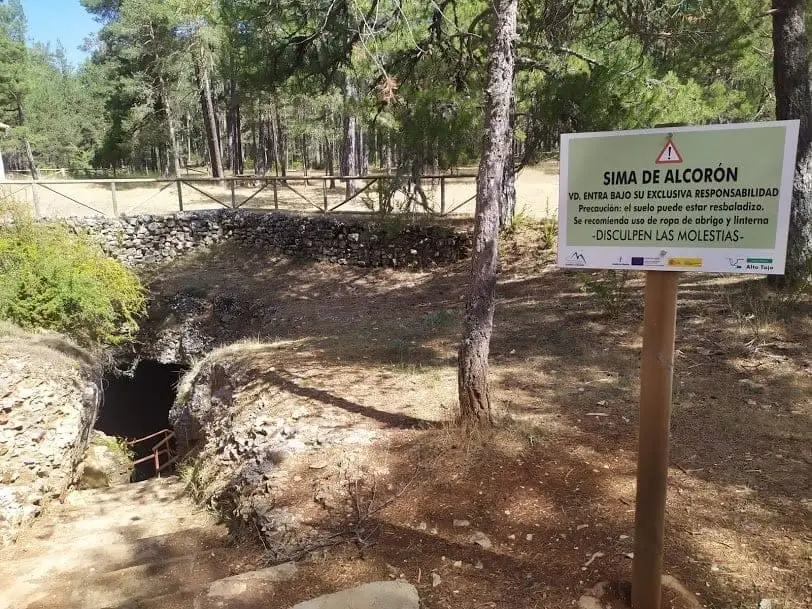
The Sima de Alcorón is a 63-metre-deep natural chasm in the paramera of Villanueva de Alcorón, equipped with steps and handrails descending to the bottom. A stone trough is preserved where villagers collected water, as the high paramera lacked natural surface springs. On summer midday days, a beam of sunlight pierces the mist and reaches the chamber floor.
Lands and landscapes
From here, follow the memory of the territory
These readings connect Sima de Alcorón: Descending 63 Metres to the Heart of the Paramera with the history, work, and villages around it.
This place across time
Which eras you can read here
A single place can preserve traces from different eras. These layers connect what you see with the stories in the atlas.
- Best season
- Summer, at midday
- Municipality
- Villanueva de Alcorón
- Province
- Guadalajara
- Altitude
- 1,331 m
- 63 m depth
- Accessible on foot
- Karst
- Midday light beam
- Recreational area
A vertical shaft open in the paramera
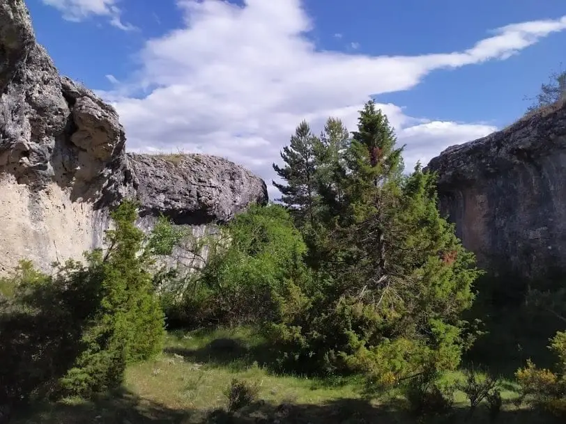
The paramera of Villanueva de Alcorón is perforated by karst: water has dissolved limestone for millennia, opening vertical shafts, some over 200 metres deep. Sima de Alcorón is the most accessible of all. It is 63 metres deep across two sections.
The first descends to a ledge about 20 metres across where daylight still enters, a chamber roughly 15 metres high. The second descends among large fallen boulders to the bottom of the cavity.
Water in a waterless place
At the lowest point there is a small stone trough collecting water dripping from the top of a flowstone stained orange by iron. In a paramera with no springs or streams, this was a vital reserve. Villagers descended by dropping pines inside and using their branches as a ladder.
The beam of light
If you visit near summer and around midday, you might see the best moment of the chasm: the sun enters almost vertically, passes through the humid air, and traces a beam of light reaching all the way to the bottom and reflecting on the water of the trough.
Before you go
Beside the chasm there is a recreational area. Very close, in the Dehesa de Villanueva, live Przewalski horses, one of the rewilding projects of the territory.
Plan your visit
Allow time to go down, pause, and climb back up the 63 metres of elevation change. The stairway eases the visit, but does not remove the effort of the ascent.
Before you travel
This is not an accessible visit simply because it has stairs. Humidity and darkness require footwear with good grip and a light; if there is a posted closure, do not descend.
To combine
Continue with Villanueva de Alcorón. Check its guide to decide if it fits in the same outing.
Frequently asked questions
Can you descend into Sima de Alcorón?
Yes. It is fitted with stone, metal, and concrete steps and handrails, so you can descend on foot to the bottom. Wear shoes with good soles because dampness makes them slippery.
When can you see the light beam?
In the months close to summer and around midday, when the sun enters almost vertically and the interior humidity makes the beam of light visible.
Location
● Reference point · ● Villages · ● Places
Location diagram. Detailed map with tracks and names loads on zoom.
Reference villages: Villanueva de Alcorón · Zaorejas · Peñalen · Valsalobre.
Open the full map and historical layers →