Heritage · Checa
Puente de las Tres Provincias (Valdeminguete): where the Alto Tajo begins
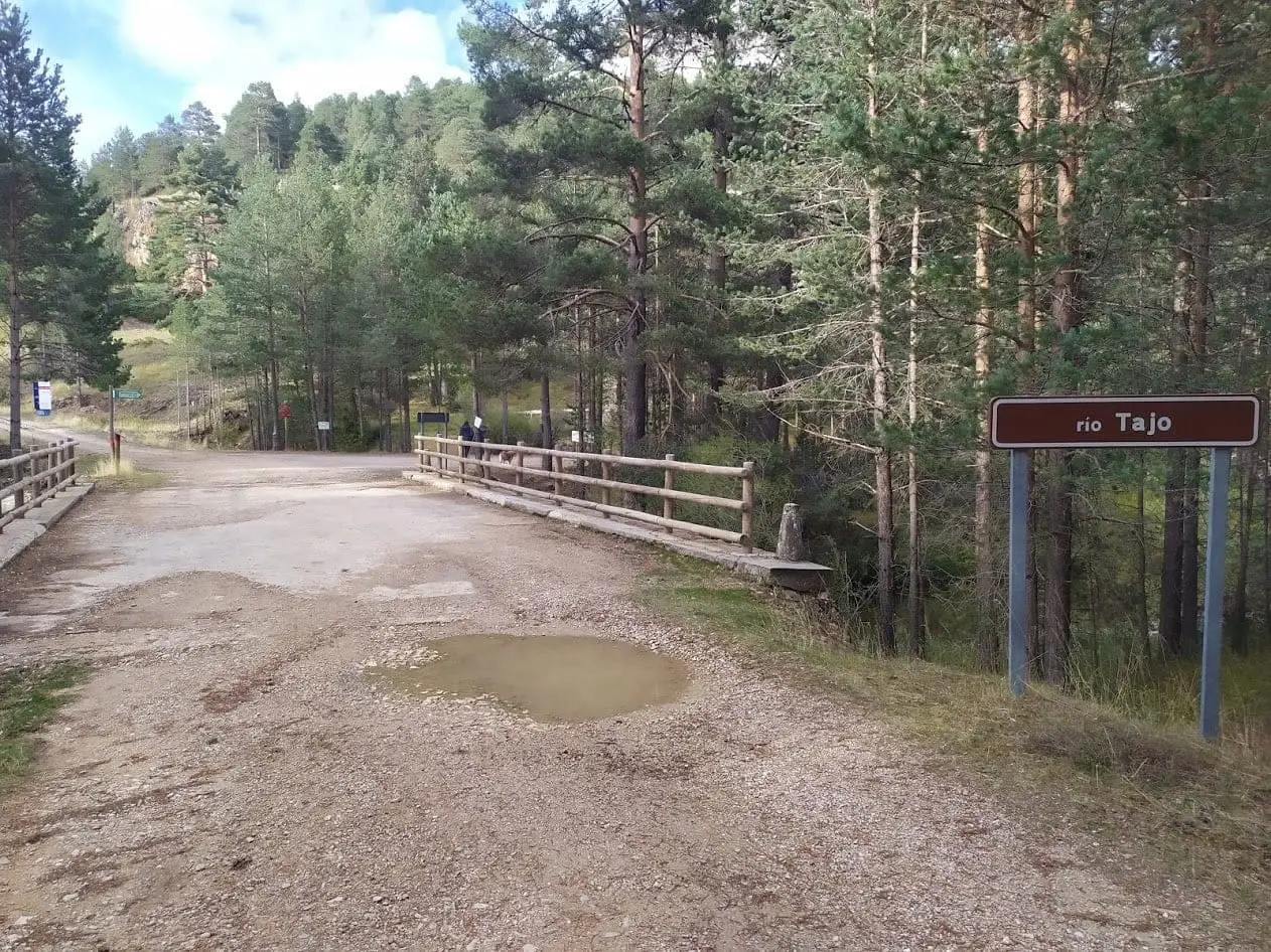
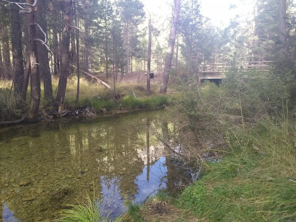
The Puente de las Tres Provincias, or Valdeminguete bridge, is the first bridge crossing the Tagus as it enters the Park from Teruel, very near its headwaters. It marks the border between Guadalajara, Cuenca, and Teruel. Upstream the river can run dry on the surface; from here downstream it flows year-round.
Rivers and basins
The thread of water from Puente de las Tres Provincias (Valdeminguete): where the Alto Tajo begins
Follow these watercourses towards their confluences, villages, and basin history.
Lands and landscapes
From here, follow the memory of the territory
These readings connect Puente de las Tres Provincias (Valdeminguete): where the Alto Tajo begins with the history, work, and villages around it.
- Municipality
- Checa
- Province
- Guadalajara
- Three provinces
- Tajillo
- First Park bridge
- Permanent water
A shared bridge
The borders of Guadalajara, Cuenca, and Teruel meet at this point, giving the bridge its name. It is the first crossing over the Tagus, still little more than a newborn stream, as it enters the Natural Park from Teruel.
The Tajillo
Up to this point, depending on the year, the river may carry very little surface water or even run dry, though it continues flowing underground. Downstream from Valdeminguete, water flows reliably year-round. Locals continue to call it the Tajillo until it meets the Hoz Seca.
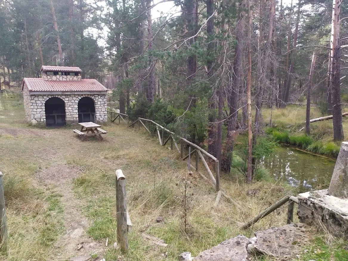
Next to the bridge sits a recreation area. Located in Checa.
Photo: El Observario
Location
● Reference point · ● Villages · ● Places
Location diagram. Detailed map with tracks and names loads on zoom.
Approximate position: village centre.
Reference villages: Checa · Chequilla · Alcoroches · Orea.
Open the full map and historical layers →