Village · Guadalajara · 1,157 m
Cubillejo del Sitio
Cubillejo del Sitio is a hamlet of Molina de Aragón at about 1,160 metres, an independent municipality until 1975. Its name recalls, by tradition, the siege laid here by Fernando III against the lord of Molina. It preserves the 16th-century church of San Ildefonso and the Baroque pairón of San Juan Bautista, replicated in Madrid.
What to see in Cubillejo del Sitio
- The pairón de San Juan Bautista, from the 17th century, one of the notable pillars in the Señorío. A replica stands in the Salamanca district of Madrid.
- The church of San Ildefonso, from the 16th century.
- A fountain from 1932.
The siege
The village was known for a time as Cubillejo del Sicio. Tradition attributes the name to the siege (sitio) laid here by King Fernando III the Saint with his army, awaiting the surrender of the third lord of Molina. It had its own council until 1975, when it joined Molina de Aragón.
Nearby
Places in and around Cubillejo del Sitio
Near Cubillejo del Sitio
Los Rodiles (Cubillejo de la Sierra): an oppidum facing Rome
Cubillejo de la SierraPonce de León Tower (Cubillejo de la Sierra) and its Museum
Cubillejo de la Sierra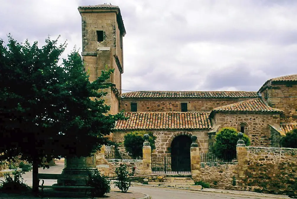
Church of Nuestra Señora de las Nieves (Rueda de la Sierra)
Rueda de la Sierra
Molina-style manor houses of Tortuera
TortueraLagunas y parameras del Señorío de Molina: Natura 2000 wetland plains
Tortuera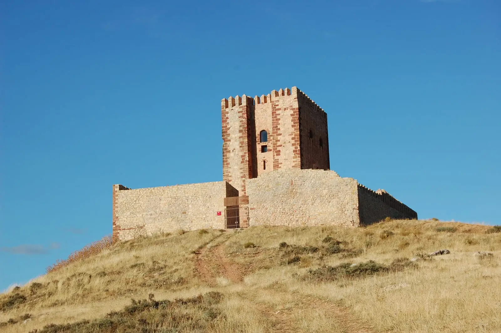
Torre de Aragón: Molina's Pentagonal Watchtower and Interpretation Centre
Molina de AragónLagoons of Tortuera: the wetland trail of the high plateau
Tortuera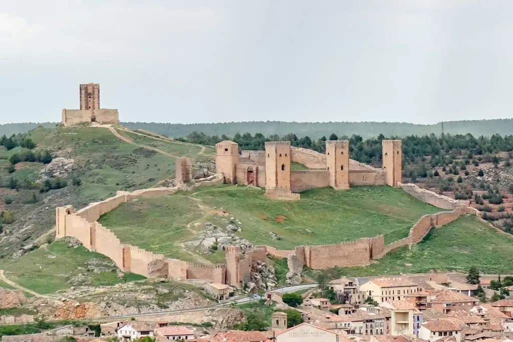
Castle of Molina de Aragón: 12th-century fortress and Torre de Aragón
Molina de AragónPopulation of Cubillejo del Sitio, 1842–1970
Cubillejo del Sitio reached a peak of 354 inhabitants in 1857 ; in 1970 it had 107, before merging into the municipality of Molina. This is the history told in the emptying of the Alto Tajo.
Climate in Cubillejo del Sitio month by month
2015–2024 averages from Copernicus ERA5 reanalysis for an altitude of approx. 1,157 m. Useful for planning, not a substitute for live forecasts.
Location
● Reference point · ● Villages · ● Places
Location diagram. Detailed map with tracks and names loads on zoom.
Reference villages: Rueda de la Sierra · Cubillejo de la Sierra · Cillas · Tortuera.
Open the full map and historical layers →