Heritage · Checa
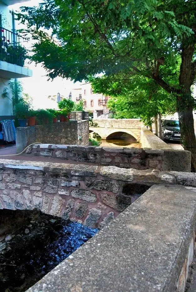
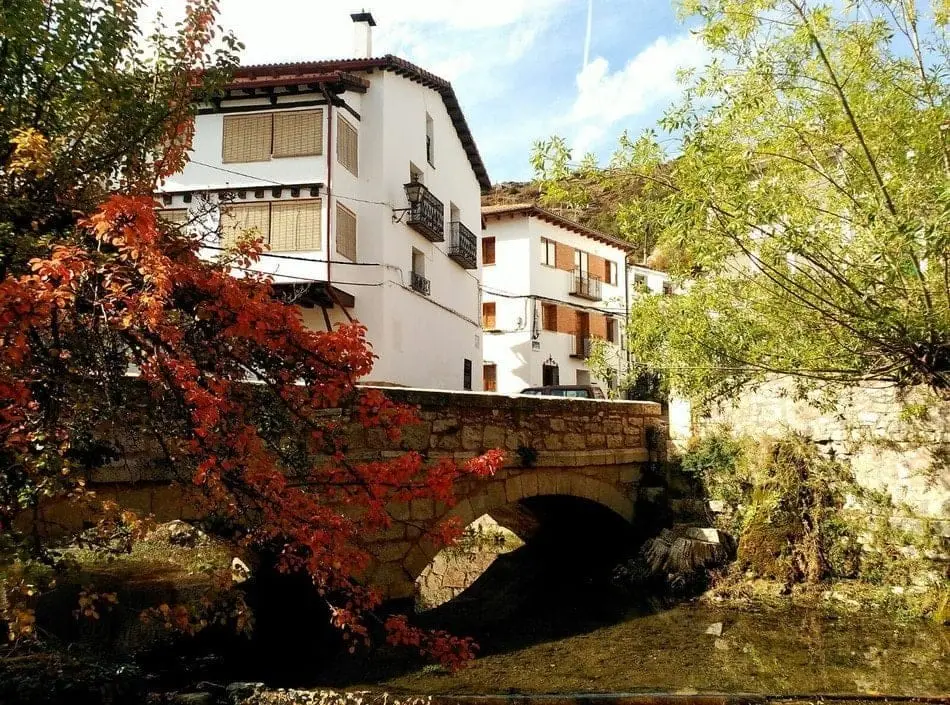
Urban ensemble of Checa: white houses, bridges, and the Genitoris River
Checa is one of the most distinctive villages in Guadalajara, built between ravines and crossed by the Genitoris River, which rises at Aguaspeña and forms waterfalls and bridges before reaching the Cabrillas. Its whitewashed houses reflect southern transhumance ties. A royal town since 1553, its hub is Plaza de Lorenzo Arrazola.
Lands and landscapes
From here, follow the memory of the territory
These readings connect Urban ensemble of Checa: white houses, bridges, and the Genitoris River with the history, work, and villages around it.
This place across time
Which eras you can read here
A single place can preserve traces from different eras. These layers connect what you see with the stories in the atlas.
- Municipality
- Checa
- Province
- Guadalajara
- Genitoris River
- Whitewashed houses
- Town status since 1553
- Transhumance
A village shaped by water
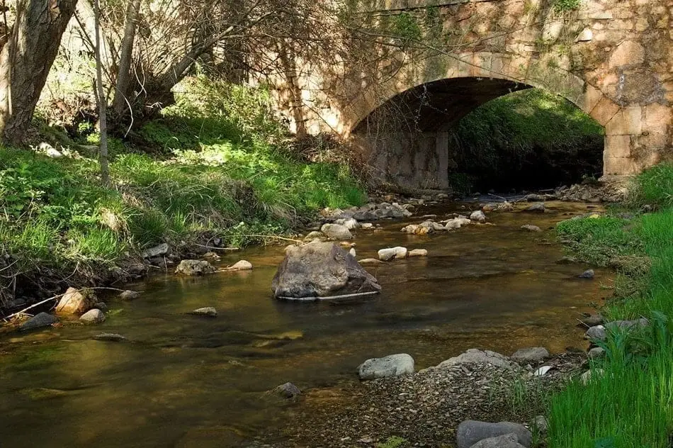
The Genitoris River rises at la Aguaspeña, traverses Checa from one side to the other, and flows into the Cabrillas River. Along its urban route it creates rushing waterfalls and requires numerous stone bridges that connect the streets.
A touch of the south
Visitors are often surprised by Checa’s white houses, more typical of southern Spanish architecture. This is a direct legacy of transhumance: Checa shepherds migrated each winter with sheep herds down to Andalusia and brought southern customs and architectural styles back with them.
The main square
Checa received the royal charter of town status in 1553 (título de villa). Its civic heart is the Plaza de Lorenzo Arrazola, where the Town Hall stands. Adjacent to it is the Museum of Traditional Pastoral Life.
Photo: El Observario
Location
● Reference point · ● Villages · ● Places
Location diagram. Detailed map with tracks and names loads on zoom.
Approximate position: village centre.
Reference villages: Checa · Chequilla · Alcoroches · Orea.
Open the full map and historical layers →