Geosite · Checa
Poljé del Cubillo (Checa): a closed karst valley
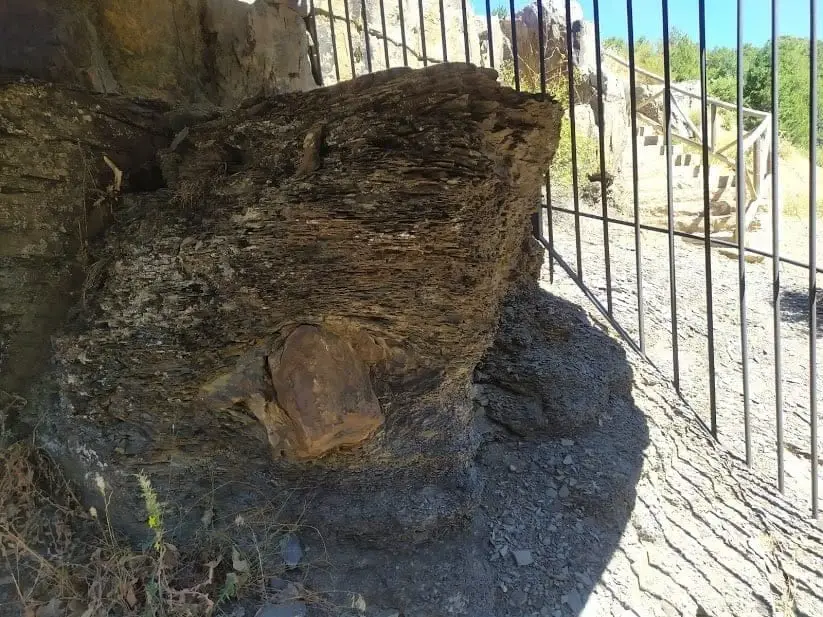
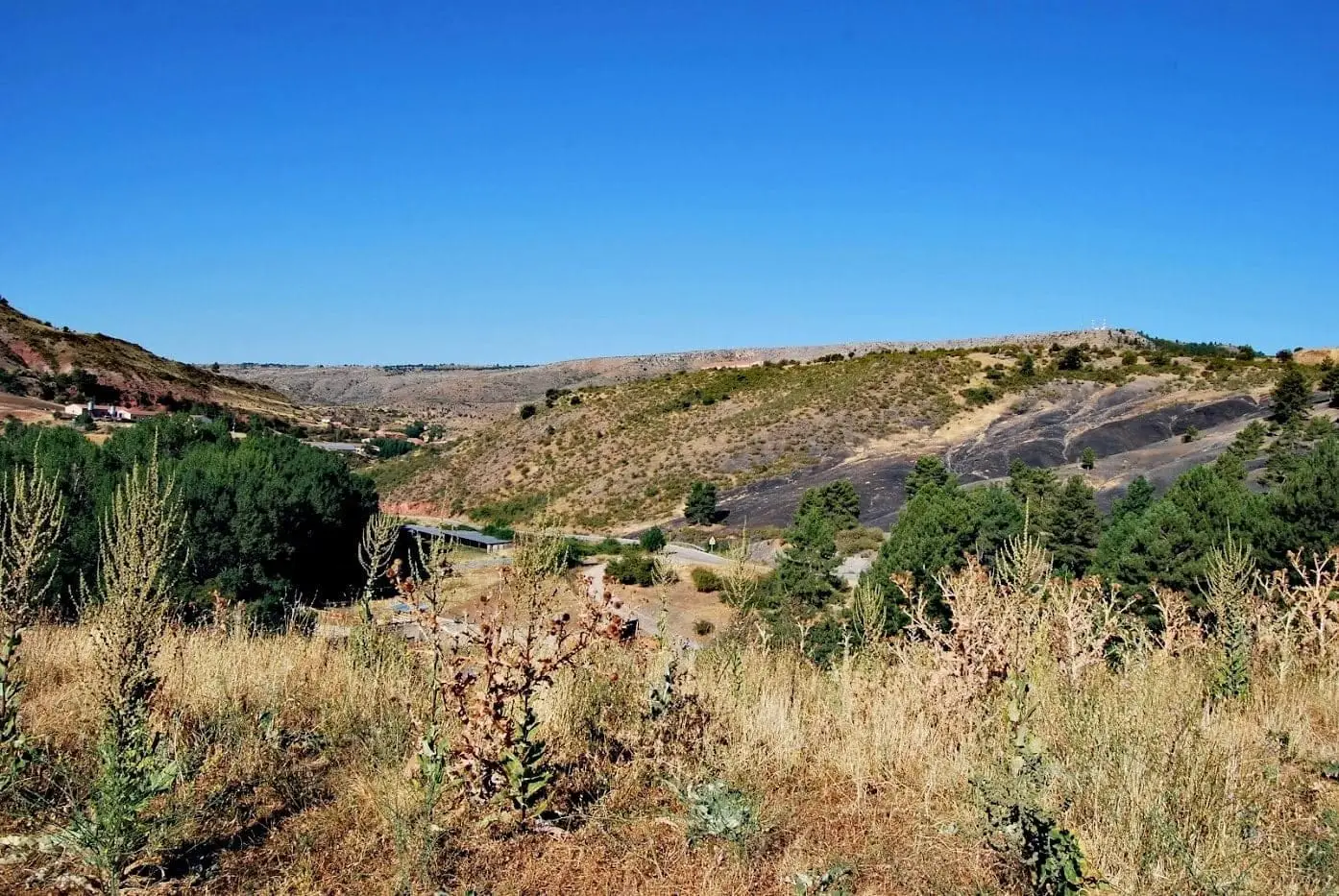
The Poljé del Cubillo, in Checa, is a large, elongated closed karst depression with a flat floor and steep limestone borders, formed by limestone dissolution along folds and faults. A seasonal stream runs through it, vanishing down a swallow hole that feeds Cueva del Tornero. Seasonal pools form when groundwater rises.
Lands and landscapes
From here, follow the memory of the territory
These readings connect Poljé del Cubillo (Checa): a closed karst valley with the history, work, and villages around it.
This place across time
Which eras you can read here
A single place can preserve traces from different eras. These layers connect what you see with the stories in the atlas.
- Municipality
- Checa
- Province
- Guadalajara
- Polje
- Swallow hole
- Seasonal pools
- Connected to Cueva del Tornero
What a polje is
One of the largest landforms of karst: an elongated, closed valley with a flat floor and steep limestone walls. It forms through rock dissolution, aided by folds or faults that weaken the stone.
A stream that vanishes
Through El Cubillo runs a seasonal stream that suddenly vanishes down a swallow hole (ponor) in the valley floor. Part of that water travels underground to Cueva del Tornero.
Seasonal pools
When the groundwater table is high, small, almost circular seasonal ponds form across the valley floor: the Lagunillas del Cubillo.
Location
● Reference point · ● Villages · ● Places
Location diagram. Detailed map with tracks and names loads on zoom.
Approximate position: village centre.
Reference villages: Checa · Chequilla · Alcoroches · Orea.
Open the full map and historical layers →More geology and geosites nearby
View all →Checa Graptolites: Fossils That Look Like Writing
Checa
Sierra Molina: Ancient Dehesa of Transhumance
ChecaLa Tejera experimental area (Checa): the ten rocks of the Park
Checa