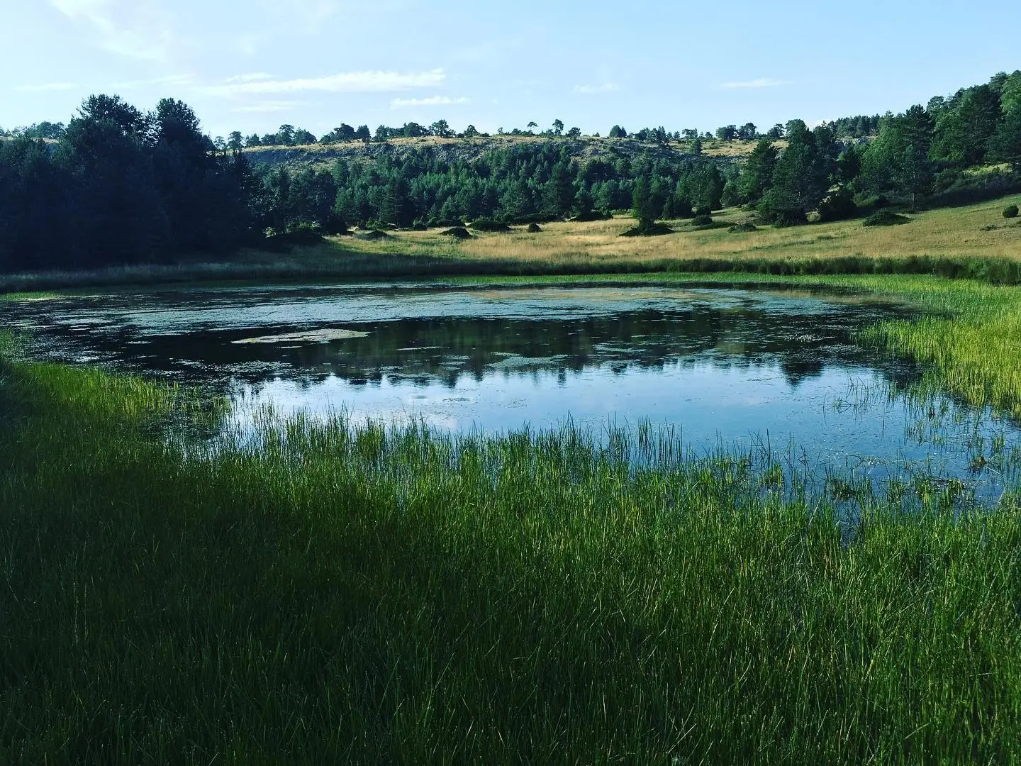
Recreation area · Orea
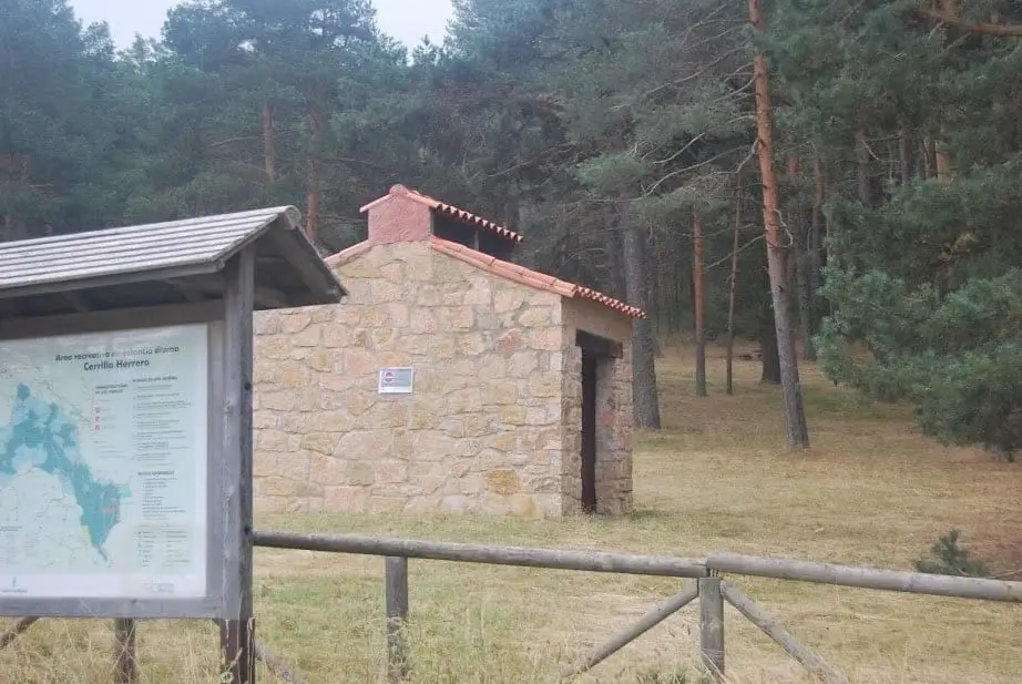
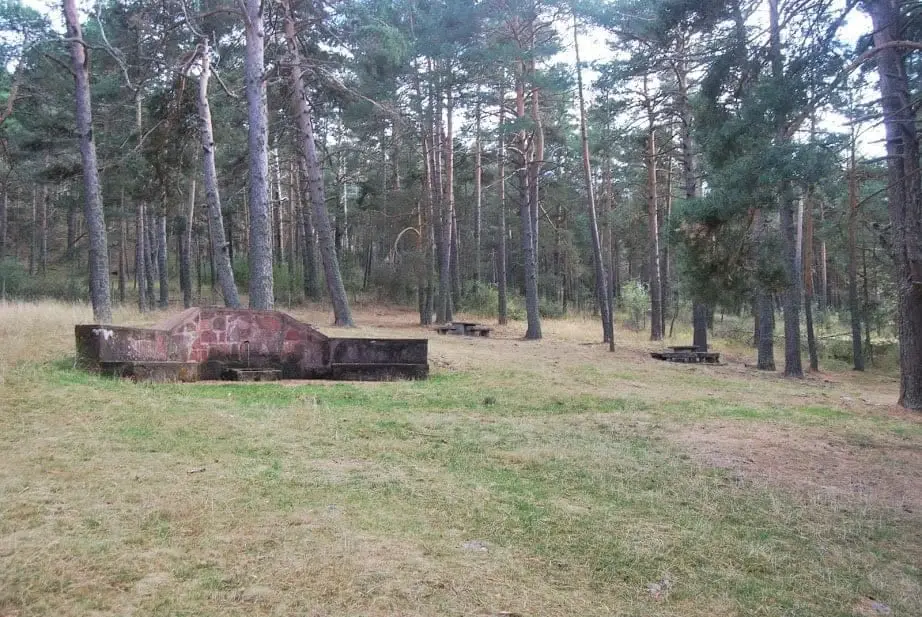
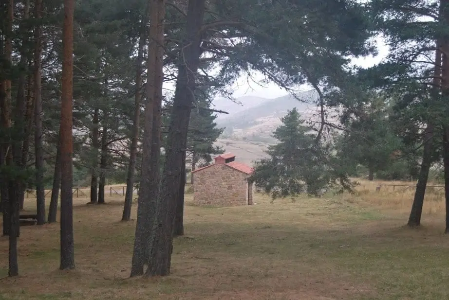
Cerrillo Herrero recreation area (Orea)
Cerrillo Herrero lies in the Dehesa de Valdemalos, about 2 km from Orea along the campsite road, at the edge of one of the best-preserved pine woodlands in the Park. Nearest to the village, it is popular during the mushroom foraging season.
Lands and landscapes
From here, follow the memory of the territory
These readings connect Cerrillo Herrero recreation area (Orea) with the history, work, and villages around it.
- Municipality
- Orea
- Province
- Guadalajara
- Altitude
- 1,533 m
- Well-preserved pine forest
- Mushrooms
- Near Orea
Located on the slopes of Cerro de San Cristóbal. If gathering mushrooms, verify local foraging permits and regulations.
Good conduct
The Natural Park provides no rubbish collection service: carry all waste back to village bins. Lighting fires is permitted solely in authorised facilities and outside high-risk fire seasons; check current regulations.
Photo: El Observario
Location
● Reference point · ● Villages · ● Places
Location diagram. Detailed map with tracks and names loads on zoom.
Reference villages: Orea · Checa · Alcoroches · Alustante.
Open the full map and historical layers →More recreation and picnic areas nearby
View all →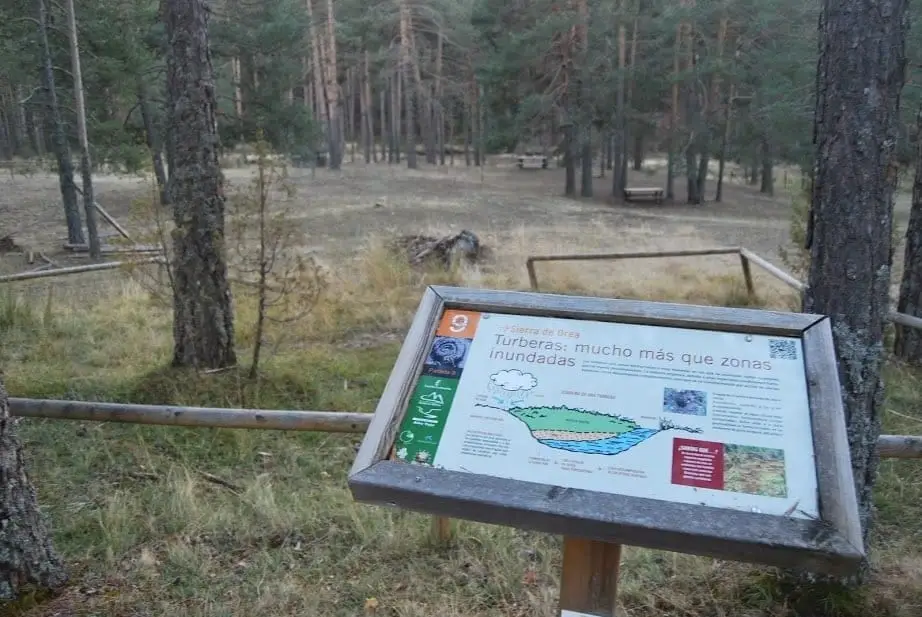
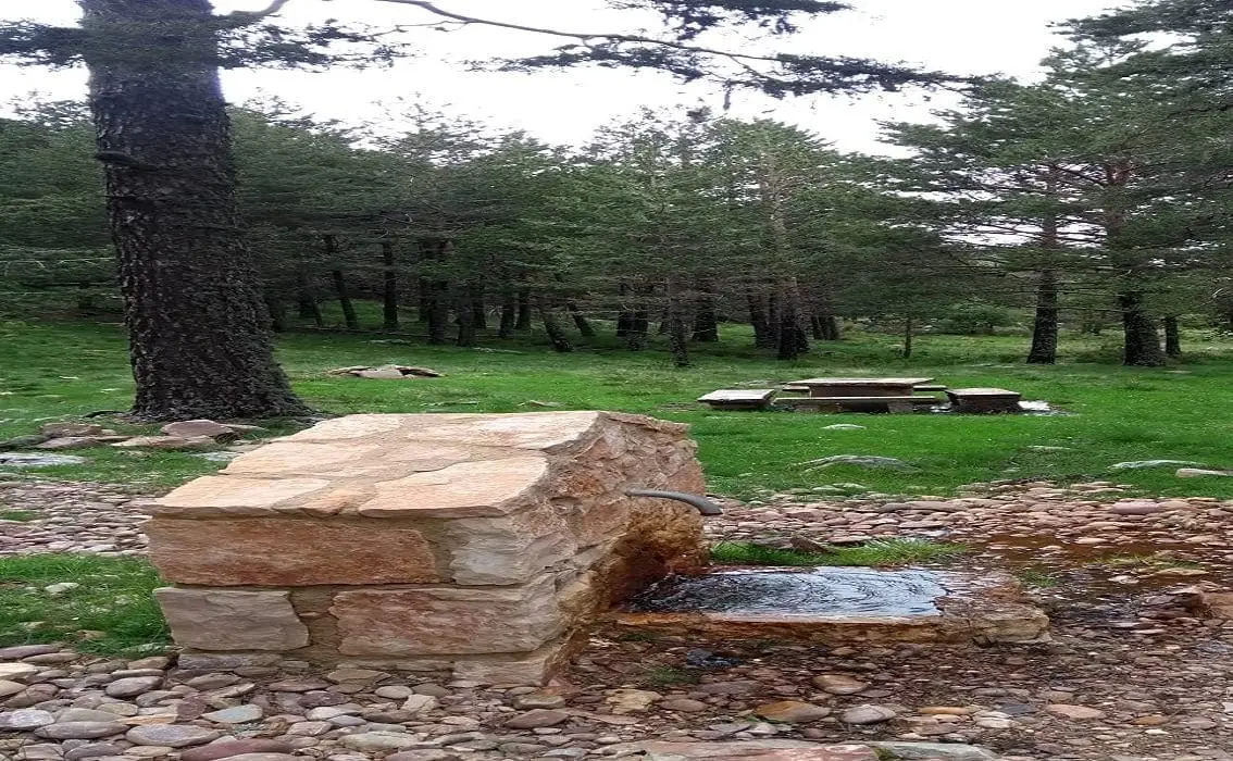
Nearby routes
All routes →Trail 18: Arroyo del Enebral and San Cristóbal (Orea)
18.8 km · 4.5 h · Circular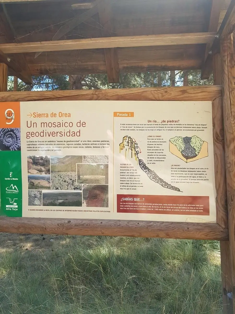
Geotrail 9: the Sierra de Orea
21 km · 5 h · Circular