Route · Orea
Sendero 18: Trail 18: Arroyo del Enebral and San Cristóbal (Orea)
Circular route of 18.8 km and 4.5 hours from Orea, moderate difficulty, climbing the sheep drover's road to Collado de Los Santos and Cerro de San Cristóbal, crossing the quartzite blockfield and descending to Hoz Seca River. Features peat bogs with sundews.
Lands and landscapes
From here, follow the memory of the territory
These readings connect Trail 18: Arroyo del Enebral and San Cristóbal (Orea) with the history, work, and villages around it.
- Code
- Sendero 18
- Distance
- 18.8 km
- Duration
- 4.5 h
- Trail type
- Circular
- Difficulty
- Moderate
- Best season
- Spring and autumn
- Altitude
- 1,488 m
Walking duration without transfers or stops. Difficulty rated according to the official source; verify its conditions and notices. “Easy” does not imply wheelchair or stroller accessibility.
- Sendero 18
- Circular, moderate difficulty
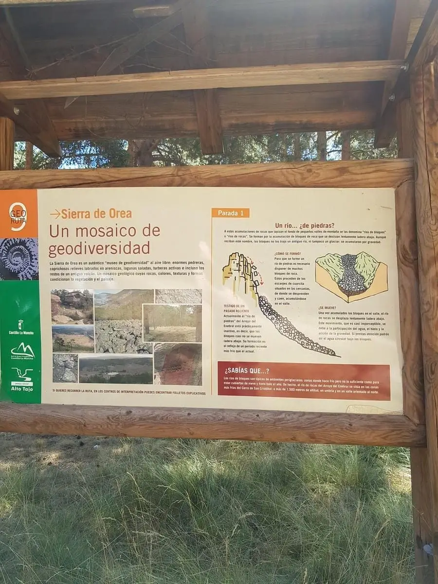
- Blockfield
- Peat bogs with sundews
- Formerly RG PNAT 6
Along the drover’s road
Departs from Orea along the Cañada Real sheep drover’s road towards Cerro de San Cristóbal. In autumn and spring the wayside pastures produce plentiful wild mushrooms. Higher up you cross the stone run (blockfield), a vast talus of quartzite boulders.
Peat bogs
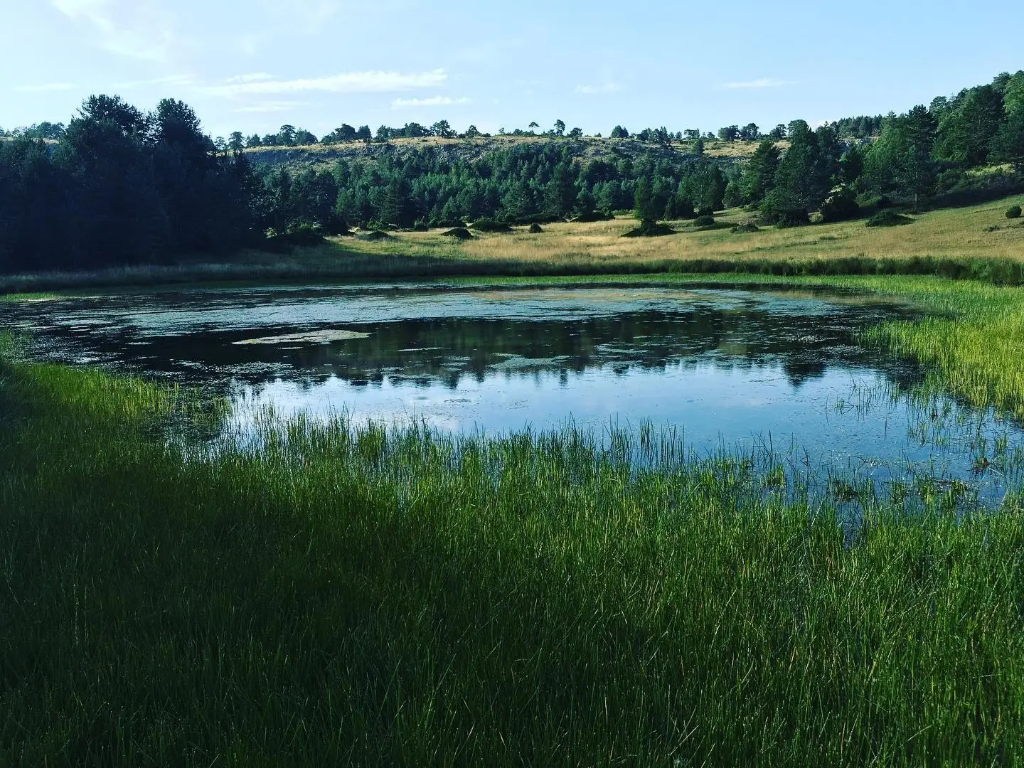
Beside the track lie peat bogs and pools hosting rare botanical species, such as sundews (Drosera), delicate carnivorous plants. Observe them without stepping into the bog: they are exceptionally fragile.
Summit and return
From the pastures of Collado de Los Santos ascend Cerro de San Cristóbal and return to the saddle to descend to the Hoz Seca River, concluding along the paved track. This is prime habitat for forest raptors (goshawks, sparrowhawks) and deer. Much of the trail coincides with Georuta 9.
Before you set out
Carry water, mountain footwear, and download the GPS track in advance: mobile reception is absent in many areas. Check the forecast on Today in the Alto Tajo and the official trail sheet for notices and closures, and respect seasonal restrictions during raptor breeding periods.
Official route · Parque Natural del Alto Tajo (Junta de Castilla-La Mancha). Description, track and notices on the official guide. Before setting out, verify there whether changes or closures apply.
Location
● Reference point · ● Villages · ● Places · ━ Simplified official route
Location diagram. Detailed map with tracks and names loads on zoom.
Reference villages: Orea · Checa · Alcoroches · Alustante.
Open the full map and historical layers →