Geosite · Orea
Orea Stone Run: a boulder river you can hear
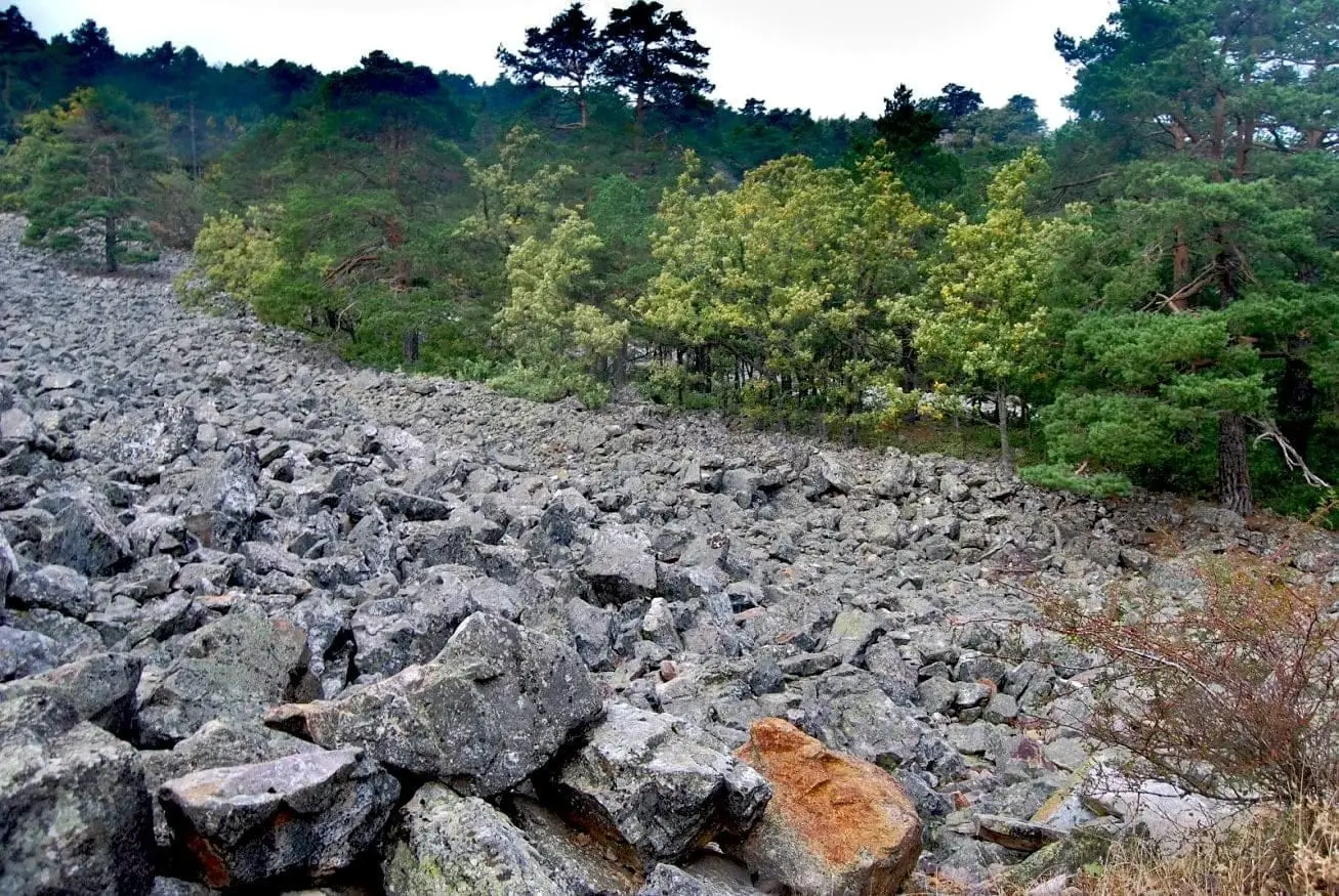
The Orea stone run is an accumulation of thousands of angular quartzite boulders covering the hillside of Cerro de San Cristóbal. Formed neither by a river nor a glacier: frost shattered the blocks from nearby ridges and they crept downhill over frozen soils. The Enebral stream can be heard flowing beneath them.
Lands and landscapes
From here, follow the memory of the territory
These readings connect Orea Stone Run: a boulder river you can hear with the history, work, and villages around it.
This place across time
Which eras you can read here
A single place can preserve traces from different eras. These layers connect what you see with the stories in the atlas.
- Municipality
- Orea
- Province
- Guadalajara
- Altitude
- 1,686 m
- Stone run
- Quartzite
- Freeze-thaw
- Hidden stream
Neither river nor glacier
Although called a “stone run” or “rock river”, these boulders were not carried by running water or glacial ice. They broke away from nearby quartzite ridges: sharp temperature swings and ice expanding in cracks split the rock, and the fragments fell down the slope of Cerro de San Cristóbal.
How the stones creep
For a stone run to develop, the blocks had to keep moving. The waterlogged sandy soil froze during cold periods, expanding and lifting the stones slightly; when it thawed, they settled a fraction further downhill. Repeated over thousands of years under much colder Ice Age climates, the boulder field crept into place.
Listen closely
Beneath the boulders flows the Arroyo del Enebral. If you stand quietly, you can hear it running beneath your feet.
Location
● Reference point · ● Villages · ● Places
Location diagram. Detailed map with tracks and names loads on zoom.
Reference villages: Orea · Checa · Alustante · Motos.
Open the full map and historical layers →More geology and geosites nearby
View all →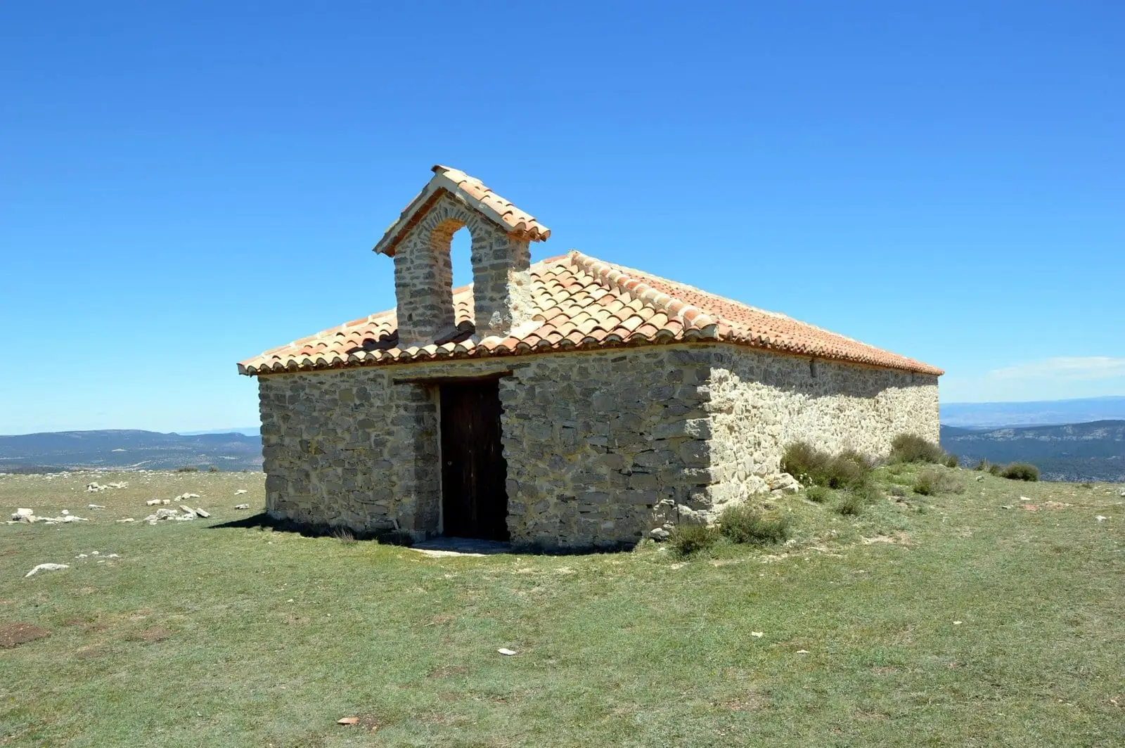
Cerro de San Cristóbal (Orea): 1,862 metres and dark night skies
Orea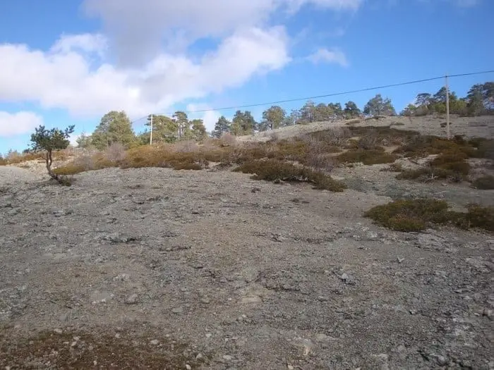
Ancient volcano of Orea: 270-million-year-old dacites
Orea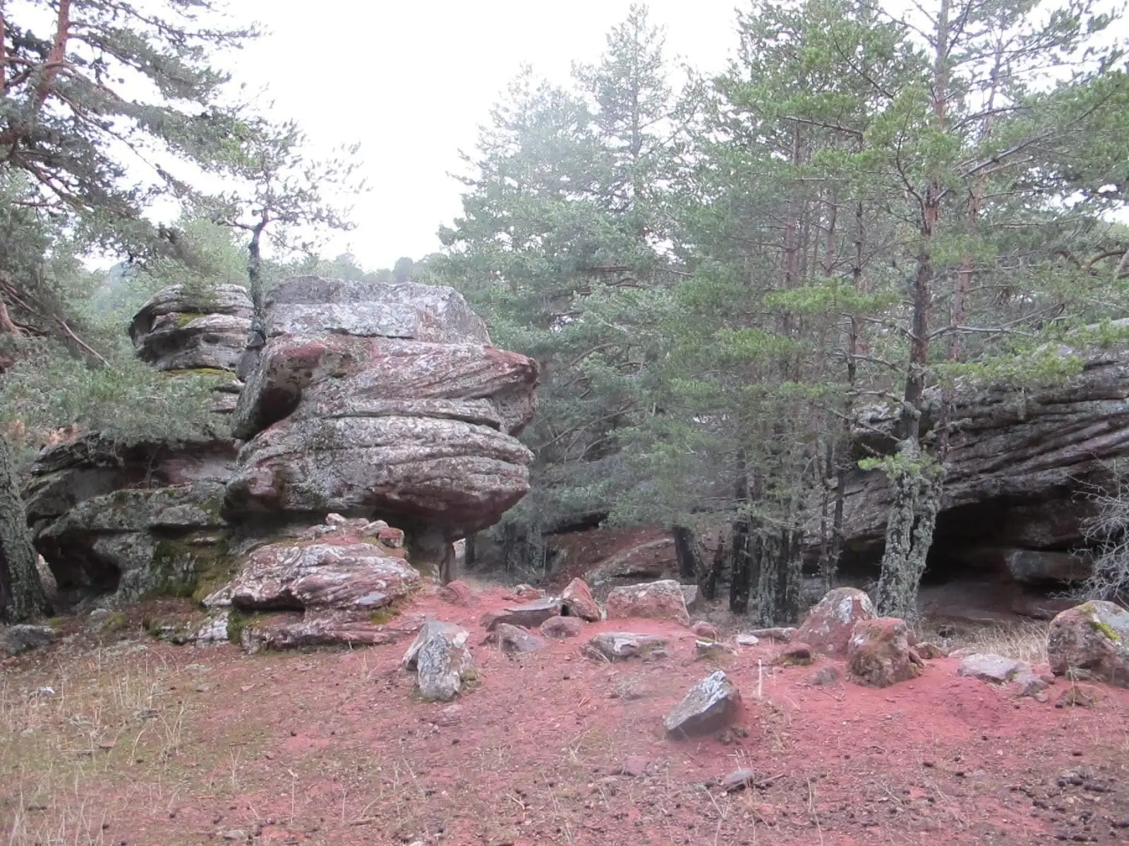
Corridors of Peñas Rubias: the enchanted city of Orea
OreaNearby routes
All routes →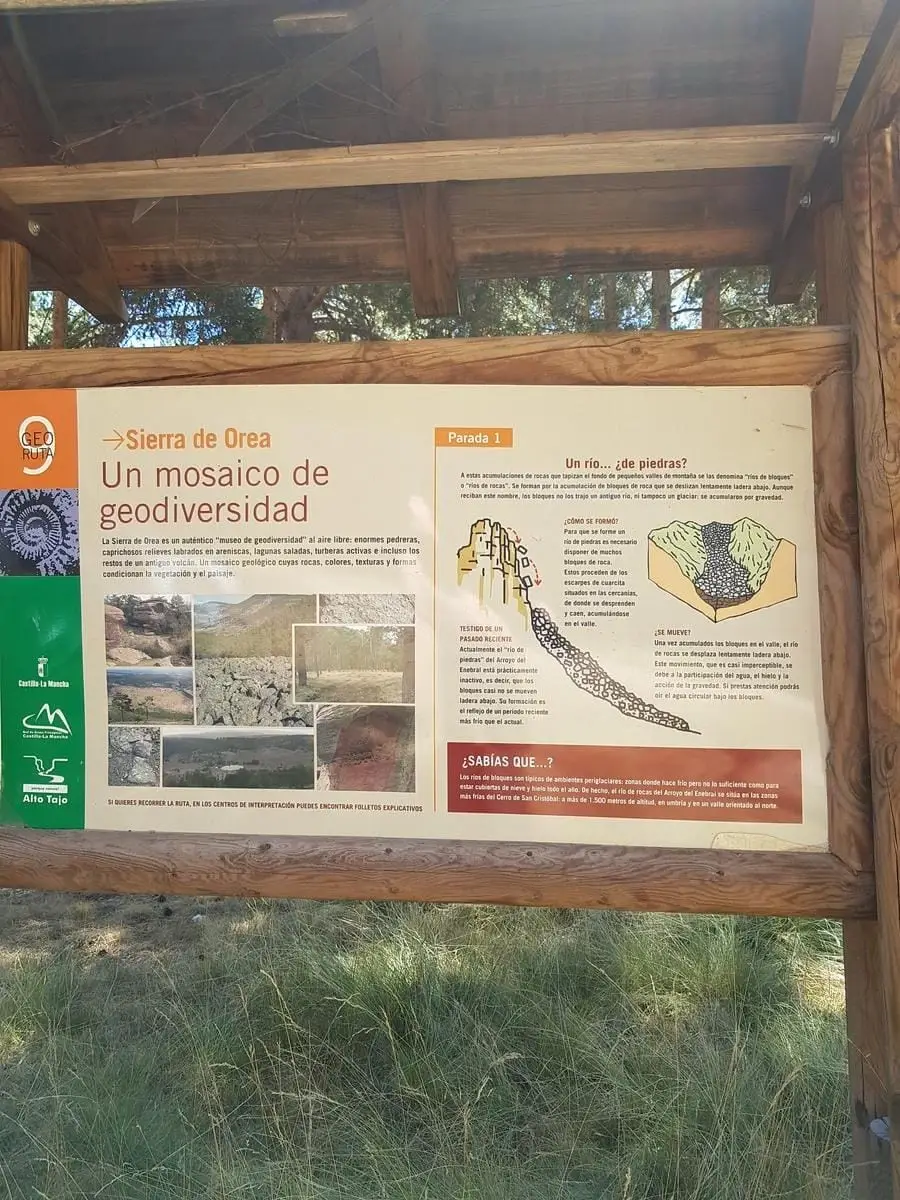
Geotrail 9: the Sierra de Orea
21 km · 5 h · Circular