Water source · Orea
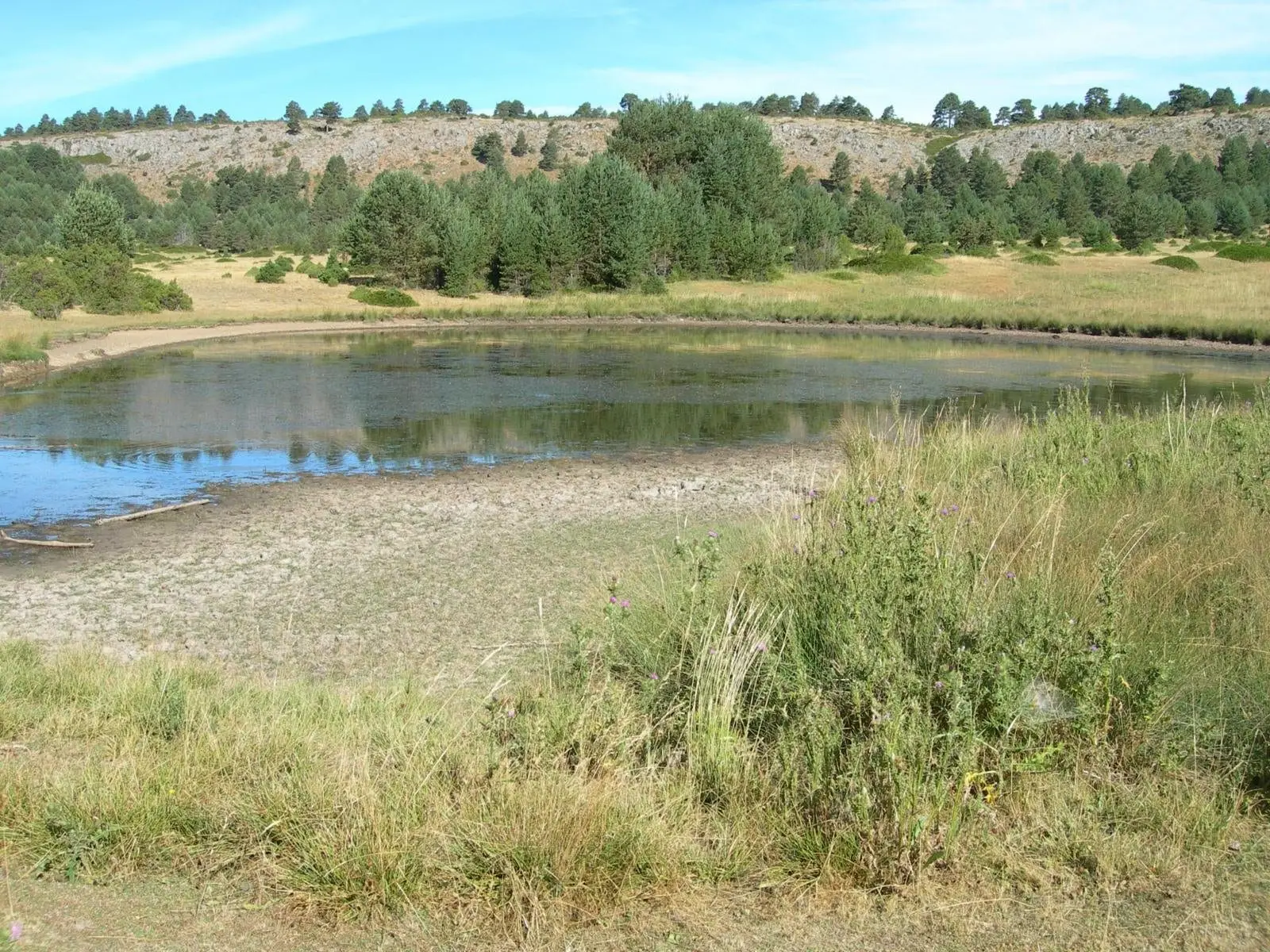
Laguna de la Salobreja (Orea): a saltwater lagoon in the mountains
The Laguna de la Salobreja, in Orea, is a small karst wetland at the bottom of a large doline on Keuper clays, salts, and gypsum. The clay prevents water from filtering away and dissolved salts make it brackish, hence its name. Reached by an easy walk through Scots pine, prostrate juniper, and common juniper.
Lands and landscapes
From here, follow the memory of the territory
These readings connect Laguna de la Salobreja (Orea): a saltwater lagoon in the mountains with the history, work, and villages around it.
This place across time
Which eras you can read here
A single place can preserve traces from different eras. These layers connect what you see with the stories in the atlas.
- Municipality
- Orea
- Province
- Guadalajara
- Altitude
- 1,625 m
- Brackish water
- Doline
- Keuper
- Birds
- Sendero 17
Why it is salty
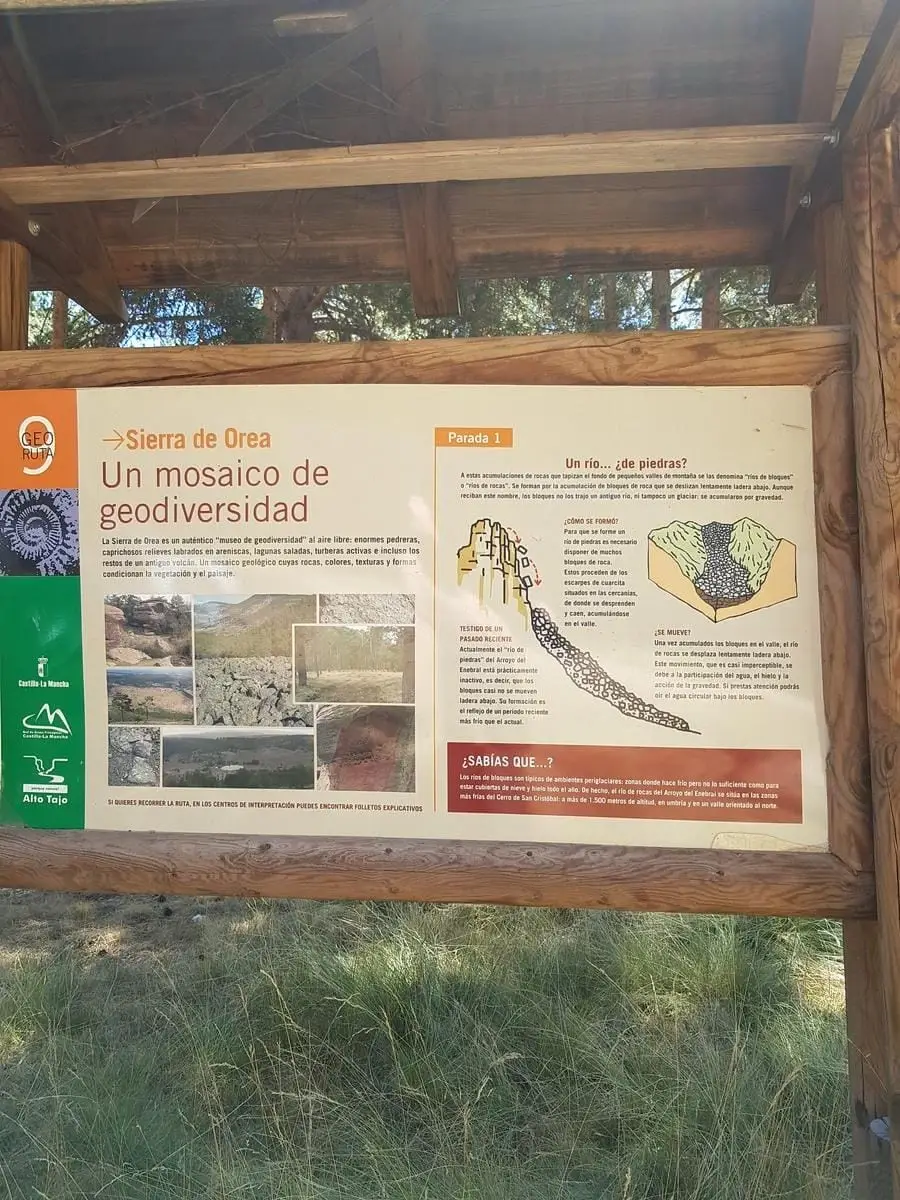
The lagoon sits at the bottom of a doline, a karst depression, over Keuper bedrock: clays containing salts and gypsum. The clay acts as an impermeable floor holding the water, while dissolved salts turn it brackish. It is a rarity high in the mountains.
The walk
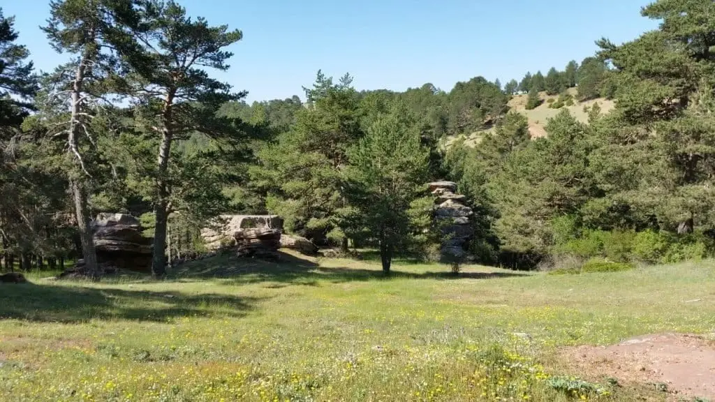
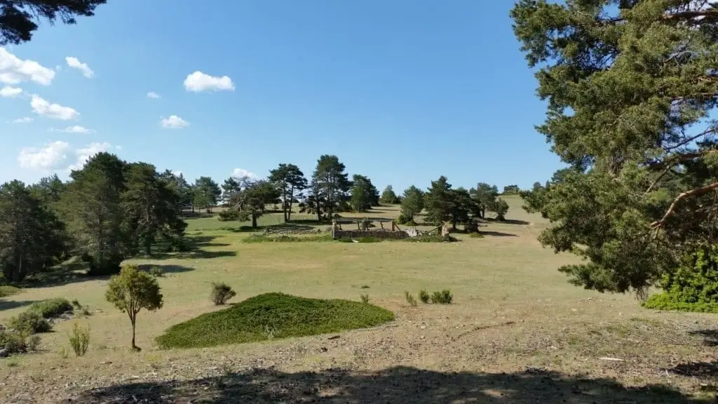
It is reached on foot through a high-plateau pine wood of Scots pine, with prostrate juniper, common juniper, and bearberry. The Sendero 17 trail leads right to it. Very close by are the Peñas Rubias alleys.
Photo: El Observario
Location
● Reference point · ● Villages · ● Places
Location diagram. Detailed map with tracks and names loads on zoom.
Reference villages: Orea · Checa · Chequilla · Alcoroches.
Open the full map and historical layers →Nearby routes
All routes →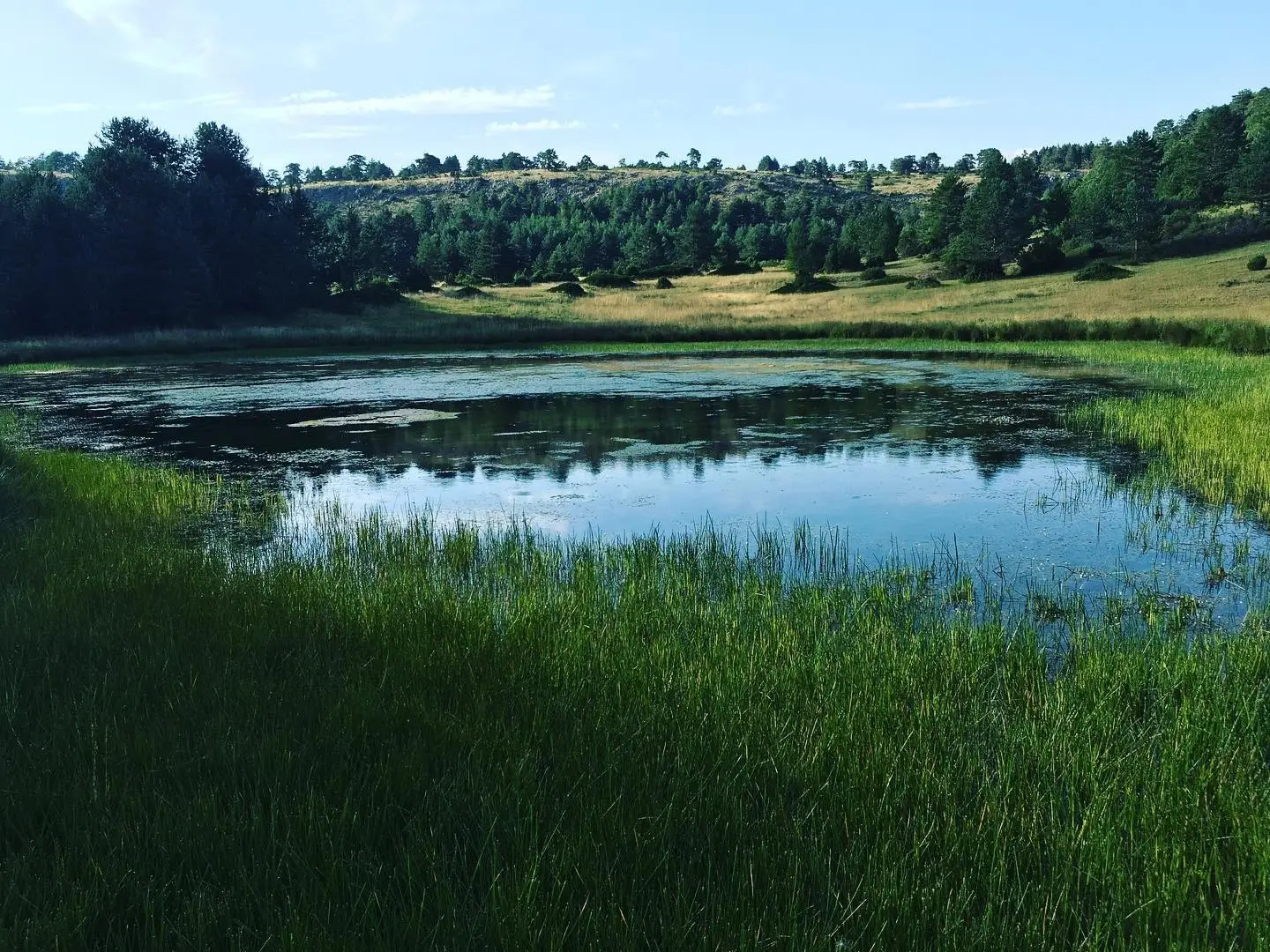
Trail 17: Laguna de la Salobreja (Orea)
13.5 km · 5.5 h · CircularTrail 18: Arroyo del Enebral and San Cristóbal (Orea)
18.8 km · 4.5 h · Circular