Route · Orea
Georuta 9: Geotrail 9: the Sierra de Orea
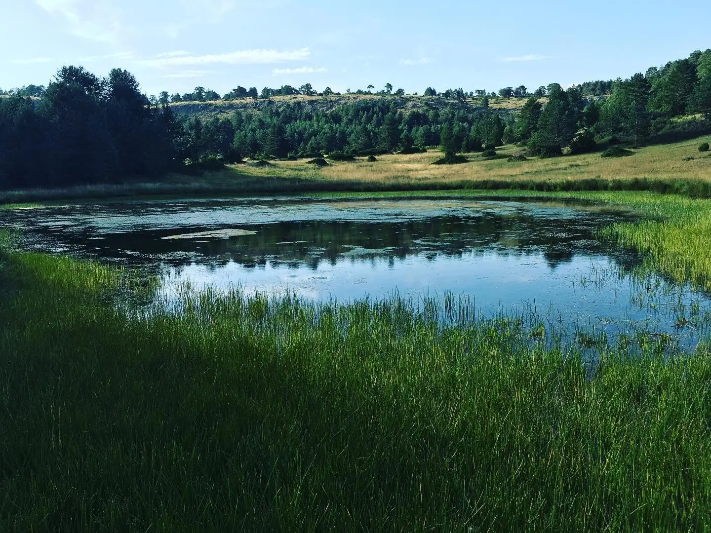
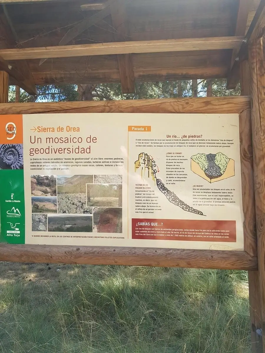
Georuta 9 spans around 21 km and 8 stops across the southeastern Sierra de Orea, remaining above 1,500 m: scree slopes, sculpted sandstone, La Salobreja saline lagoon, peat bogs, and ancient volcanic rocks. Largely coincides with Sendero 18.
Lands and landscapes
From here, follow the memory of the territory
These readings connect Geotrail 9: the Sierra de Orea with the history, work, and villages around it.
- Code
- Georuta 9
- Distance
- 21 km
- Duration
- 5 h
- Trail type
- Circular
- Difficulty
- Easy
- Altitude
- 1,656 m
Walking duration without transfers or stops. Difficulty rated according to the official source; verify its conditions and notices. “Easy” does not imply wheelchair or stroller accessibility.
- Georuta 9
- 8 stops
- Ancient volcano
- Lagoon and peat bogs
How to travel the route
Georoutes are thematic itineraries with numbered stops, panels, and outcrop plaques, linked by car or bicycle, with some sections on foot. The official self-guided brochure explains each stop.
The stops
- 1 and 2: from the Orea Interpretation Centre, along the track up Cerro de San Cristóbal to Collado de Los Santos and the viewpoint at Cerro de San Cristóbal.
- 3: an active peat bog at the Fuente de la Rana recreation area, past the campsite.
- 4 and 5: the red sandstone corridors of Peñas Rubias, on foot from a bend on the Salobreja track.
- 6: Laguna de la Salobreja, a couple of kilometres on foot (one hour round trip).
- 7 and 8: the volcanic outcrops, beside the road leading to Orea.
In winter
At this elevation snow is frequent: inquire about track conditions at the interpretation centre and check the weather forecast.
Before you set out
Carry water, mountain footwear, and download the GPS track in advance: mobile reception is absent in many areas. Check the forecast on Today in the Alto Tajo and the official trail sheet for notices and closures, and respect seasonal restrictions during raptor breeding periods.
Official route · Parque Natural del Alto Tajo (Junta de Castilla-La Mancha). Description, track and notices on the official guide. Before setting out, verify there whether changes or closures apply.
Location
● Reference point · ● Villages · ● Places · ━ Simplified official route
Location diagram. Detailed map with tracks and names loads on zoom.
Reference villages: Orea · Checa · Alustante · Alcoroches.
Open the full map and historical layers →