Museum · Orea
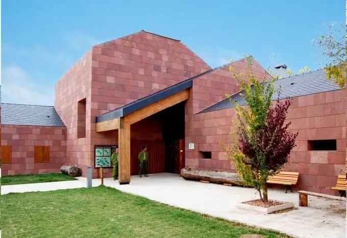
Sequero de Orea Visitor Centre
The Orea Visitor Centre, dedicated to the inhabitants of the Alto Tajo, occupies the historic pine-cone drying house, a forestry facility equipped with an oven to dry cones and extract seeds for reforestation nurseries. It explains traditional rural trades of the Park, past and present, and features a small audiovisual room.
Lands and landscapes
From here, follow the memory of the territory
These readings connect Sequero de Orea Visitor Centre with the history, work, and villages around it.
This place across time
Which eras you can read here
A single place can preserve traces from different eras. These layers connect what you see with the stories in the atlas.
- Municipality
- Orea
- Province
- Guadalajara
- Altitude
- 1,492 m
- Historic pine drying house
- Ethnography
- Traditional trades
- Audiovisual room
A building with forestry history
The sequero was a specialized forestry building equipped with a masonry kiln used to dry harvested pine cones and release pine seeds. These seeds were sent to state forestry nurseries to grow pine saplings used in large-scale mountain reforestation.
The exhibition
Dedicated to the people of the Alto Tajo: the principal gallery illustrates traditional livelihoods and woodland trades, past and present, while the upper floor provides a compact audiovisual screening room. Located in Orea.
Planning your visit
Combine the visitor centre with an excursion around Orea to link the indoor explanations with direct observation of the pine forest and heritage trades.
Before visiting
Confirm opening times and visit availability before travelling. If closed, review walking route entries before heading out into the mountains.
Combining visits
Continue your exploration in Orea. Check its entry to evaluate whether it fits into the same trip.
Location
● Reference point · ● Villages · ● Places
Location diagram. Detailed map with tracks and names loads on zoom.
Reference villages: Orea · Checa · Alcoroches · Alustante.
Open the full map and historical layers →Nearby routes
All routes →Trail 18: Arroyo del Enebral and San Cristóbal (Orea)
18.8 km · 4.5 h · Circular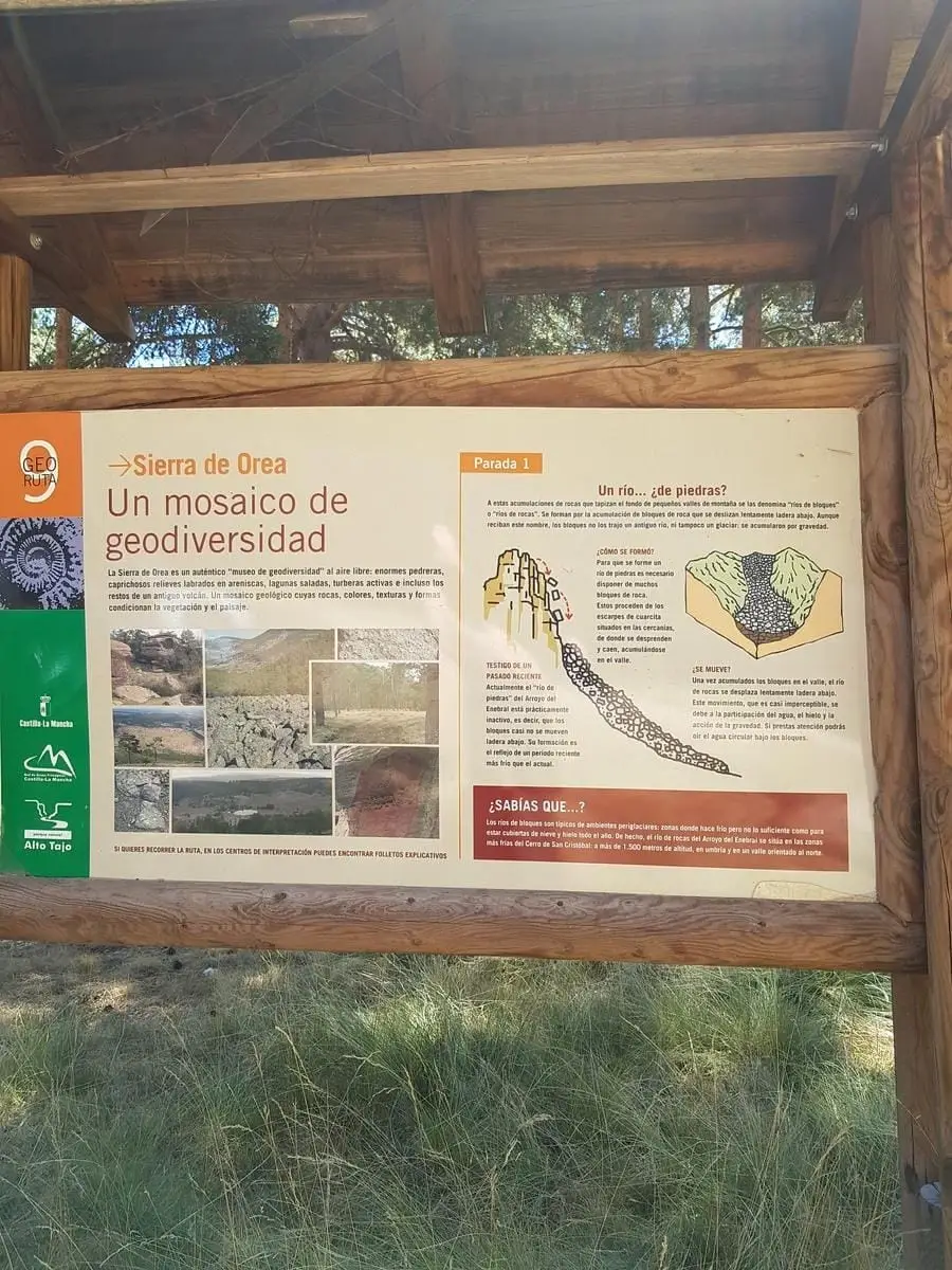
Geotrail 9: the Sierra de Orea
21 km · 5 h · Circular