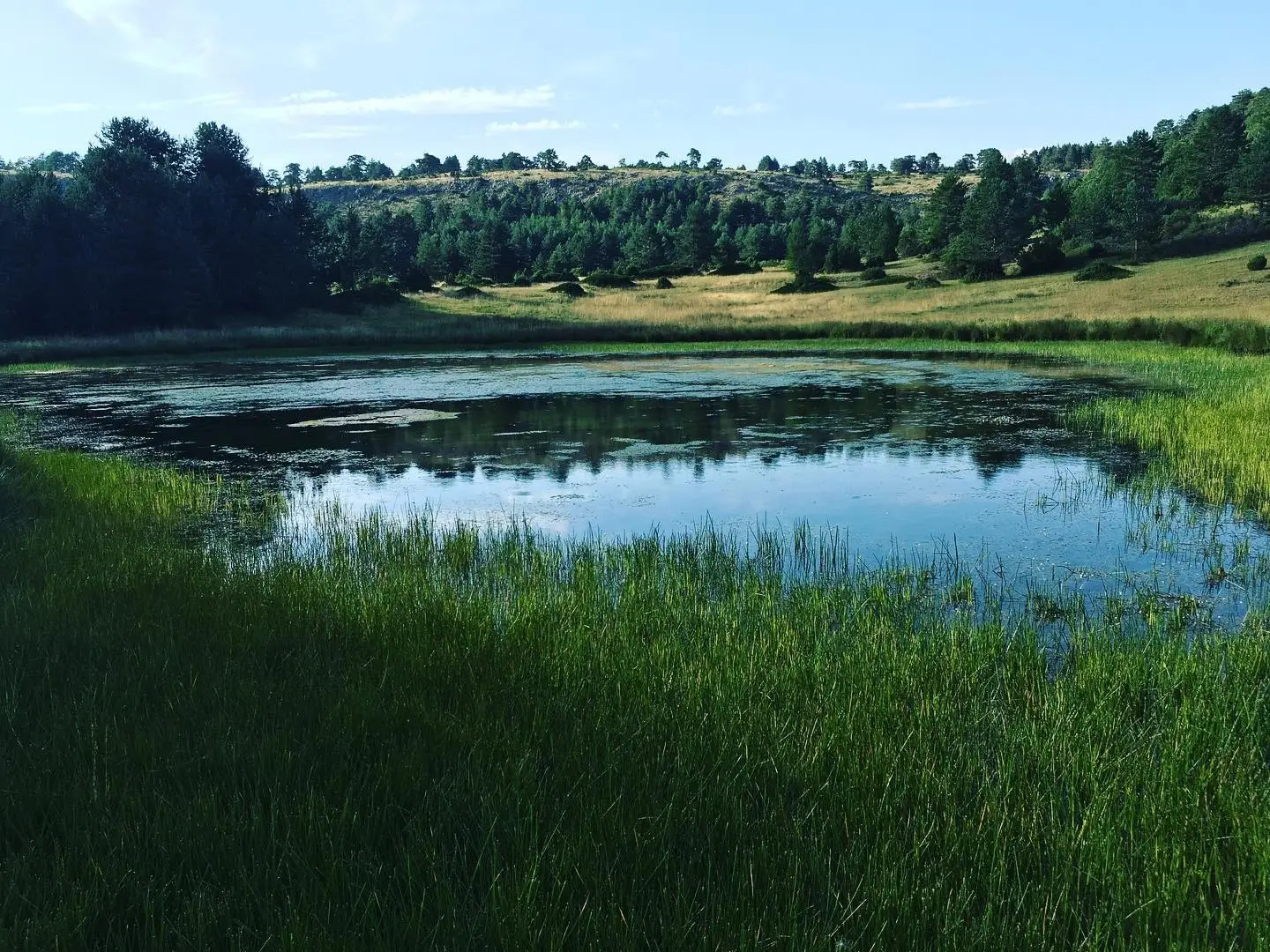
Geosite · Orea
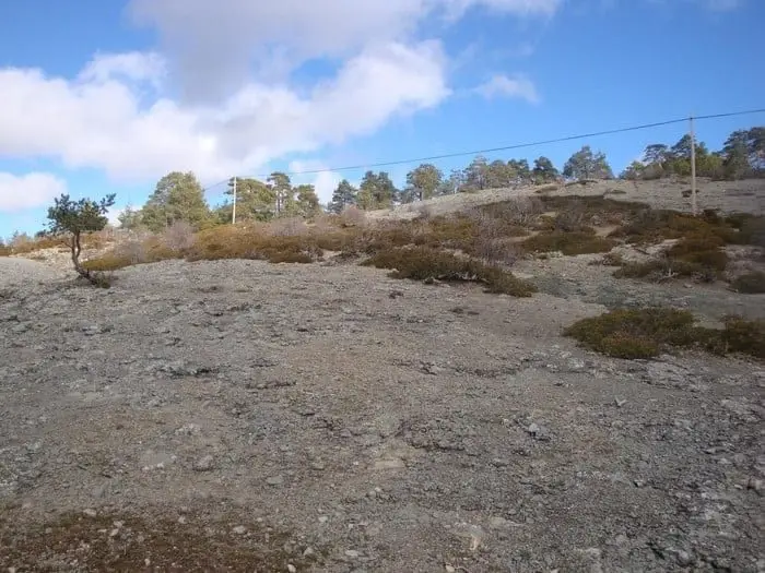
Ancient volcano of Orea: 270-million-year-old dacites
Near Orea volcanic rocks outcrop: roughly 270 million years ago, magma beneath this area reached the surface in two volcanic eruptions leaving dacites, prominent igneous volcanic rocks. One of the most surprising geological features in the Molina-Alto Tajo Geopark.
Lands and landscapes
From here, follow the memory of the territory
These readings connect Ancient volcano of Orea: 270-million-year-old dacites with the history, work, and villages around it.
This place across time
Which eras you can read here
A single place can preserve traces from different eras. These layers connect what you see with the stories in the atlas.
- Municipality
- Orea
- Province
- Guadalajara
- Dacites
- 270 million years
- Two eruptions
- Igneous rocks
A volcano in the Alto Tajo
It seems surprising, yet geological evidence confirms it. Roughly 270 million years ago, this area overlay an active magma chamber. Crustal movements forced the magma upwards in two distinct eruptions.
What are dacites?
The rocks left behind are dacites: igneous, originating from magma, and volcanic, having cooled quickly at the surface rather than underground. They stand out sharply against the surrounding landscape.
You can inspect a hand sample of dacite alongside nine other core rock types of the Park at the La Tejera experimental area in Checa. The volcanic site lies near Orea.
Location
● Reference point · ● Villages · ● Places
Location diagram. Detailed map with tracks and names loads on zoom.
Approximate position: village centre.
Reference villages: Orea · Checa · Alcoroches · Alustante.
Open the full map and historical layers →More geology and geosites nearby
View all →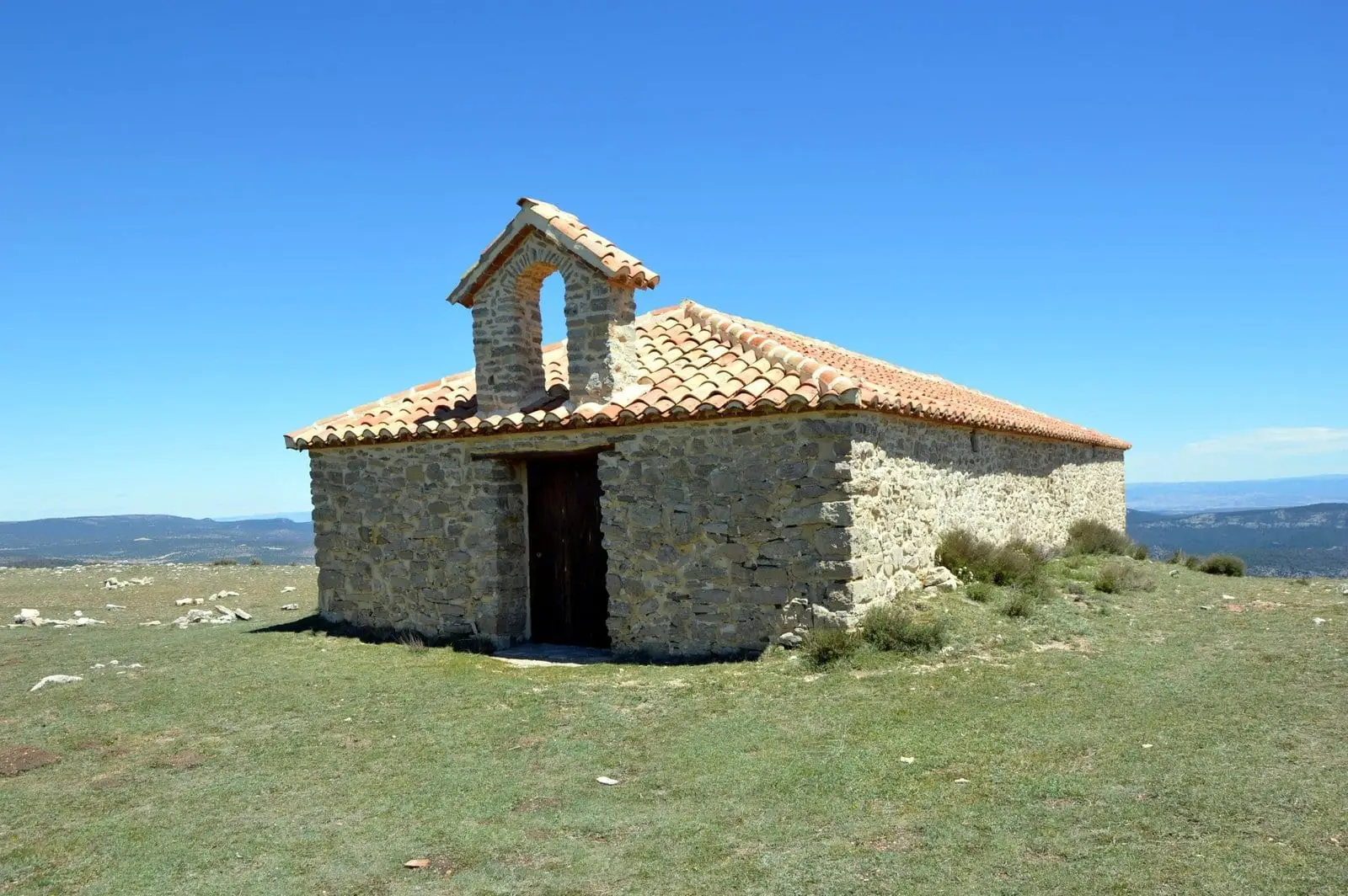
Cerro de San Cristóbal (Orea): 1,862 metres and dark night skies
Orea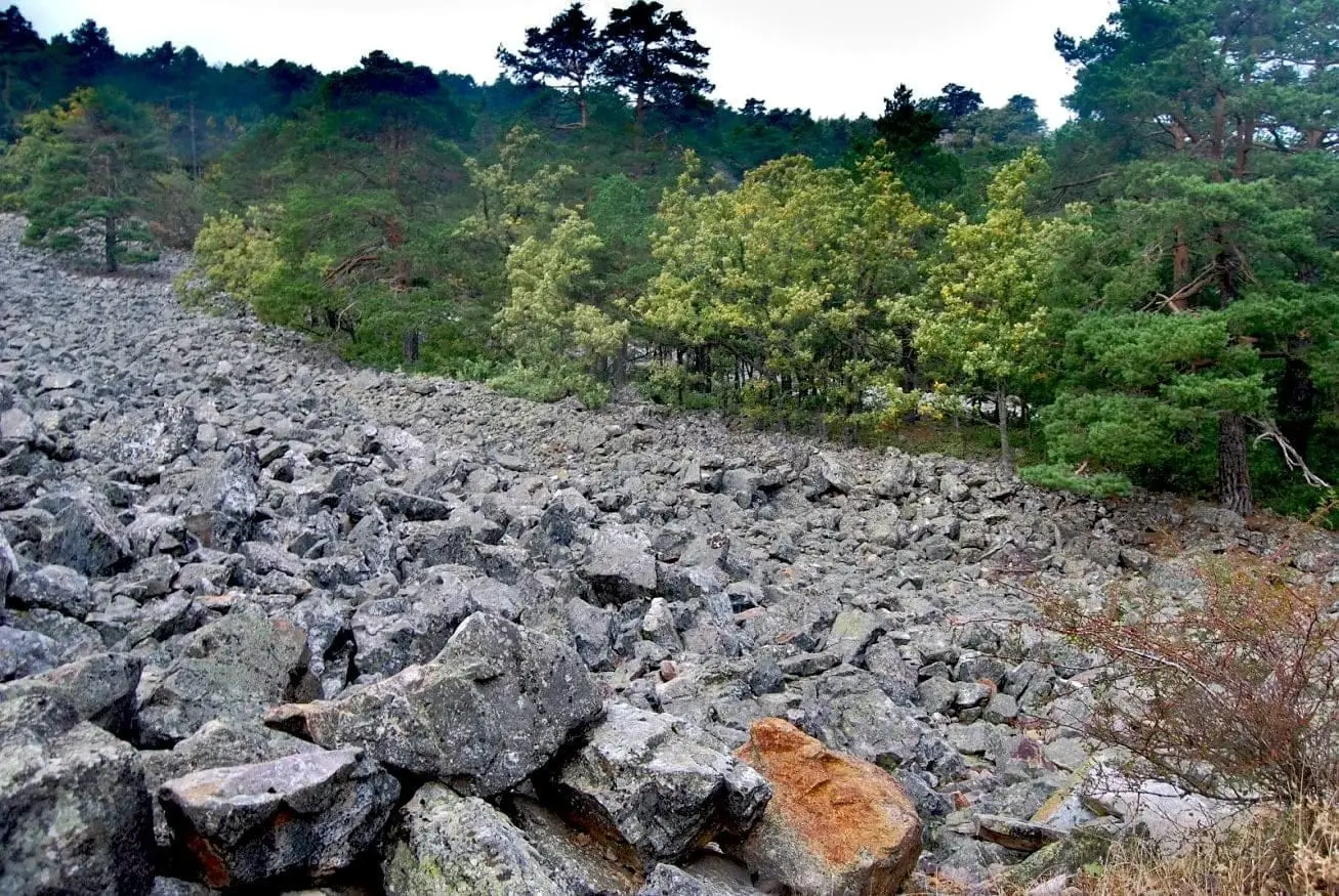
Orea Stone Run: a boulder river you can hear
OreaVariscan folds between Checa and Orea: the oldest rock wrinkles
Checa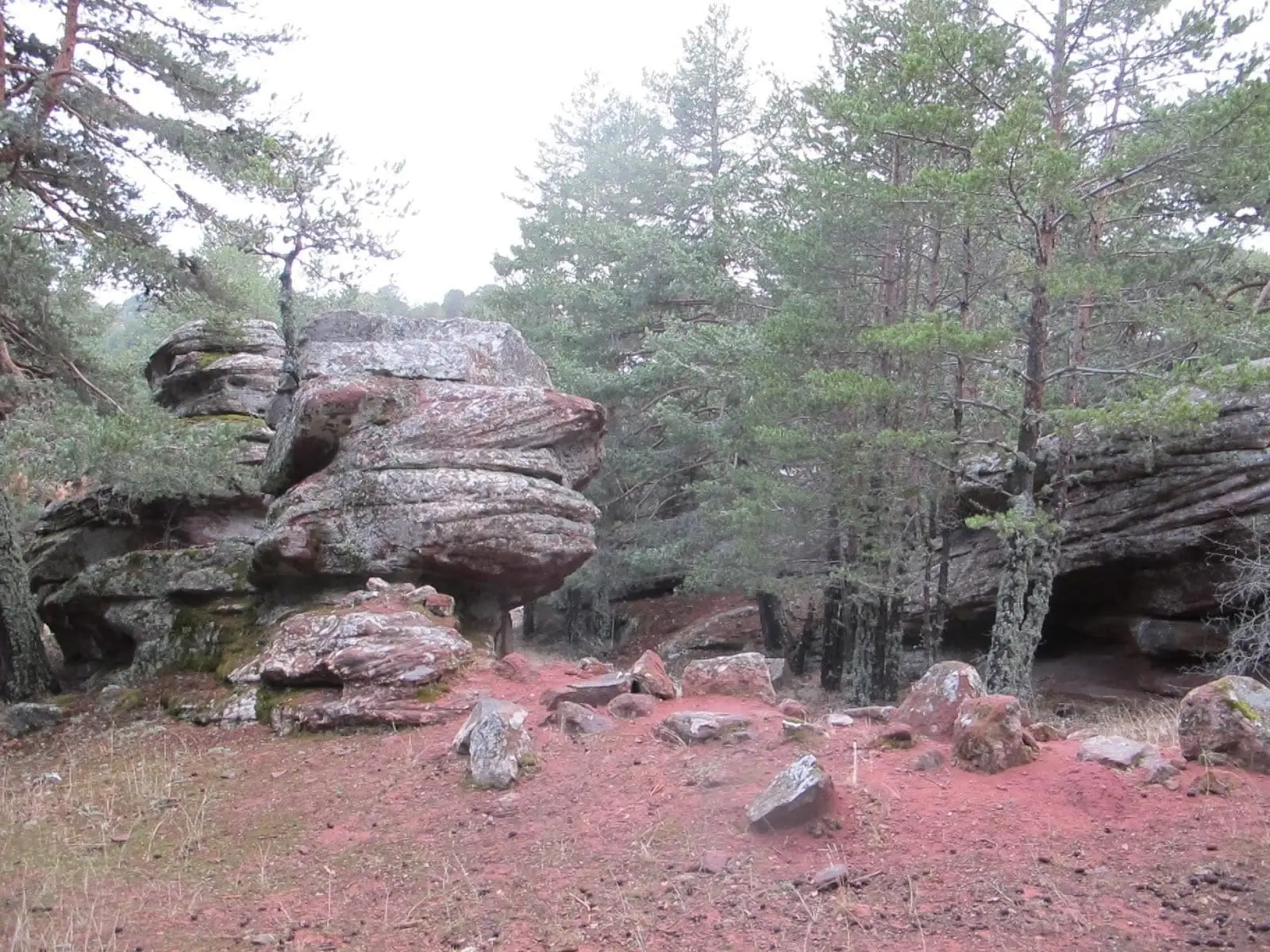
Corridors of Peñas Rubias: the enchanted city of Orea
OreaNearby routes
All routes →Trail 18: Arroyo del Enebral and San Cristóbal (Orea)
18.8 km · 4.5 h · Circular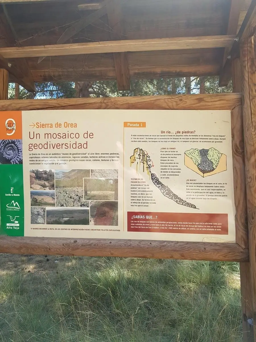
Geotrail 9: the Sierra de Orea
21 km · 5 h · Circular