Recreation area · Riba de Saelices
Linares River recreation area (Cueva de los Casares)
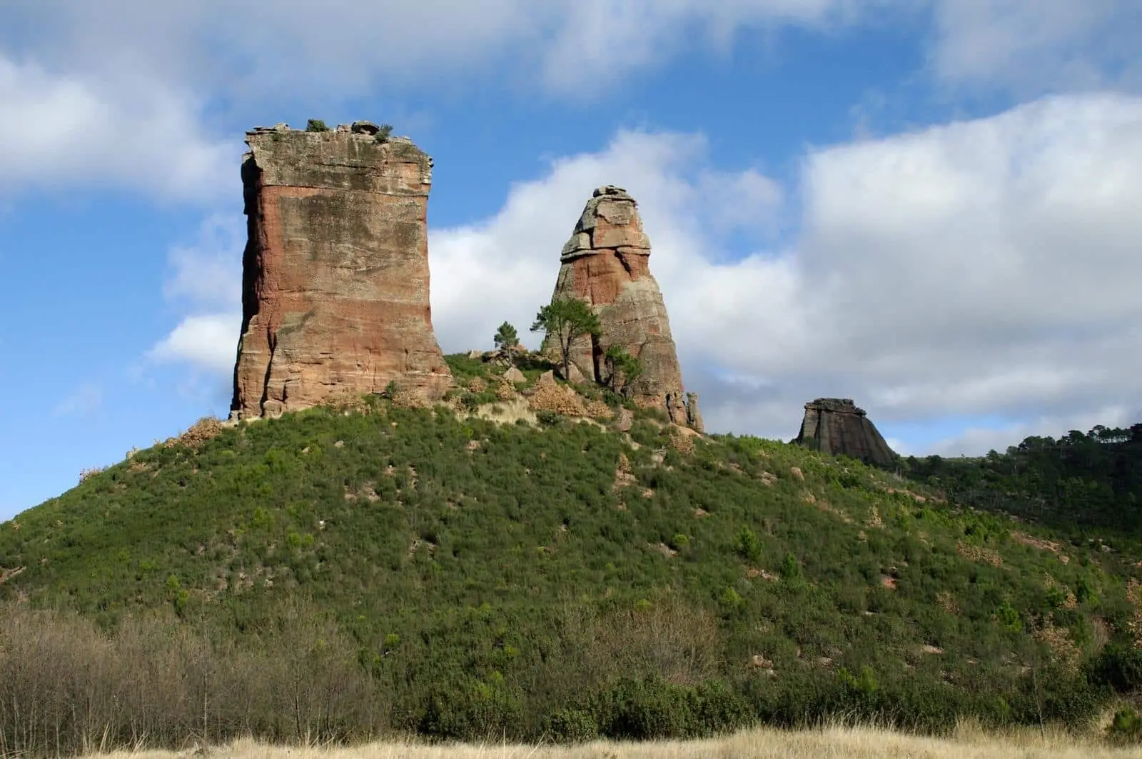
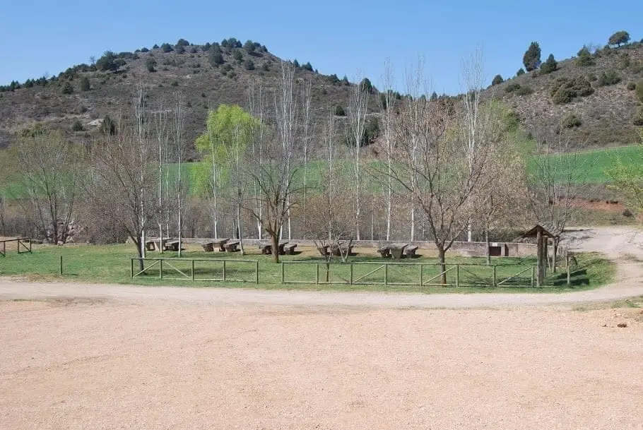
Small recreation area beside the Linares River at the base of the hill below Cueva de los Casares near Riba de Saelices, with wooden tables and benches. Serves for visiting the cave and embarking on the Valle de los Milagros trail.
Lands and landscapes
From here, follow the memory of the territory
These readings connect Linares River recreation area (Cueva de los Casares) with the history, work, and villages around it.
- Municipality
- Riba de Saelices
- Province
- Guadalajara
- Altitude
- 982 m
- Linares River
- Trailhead
- Beside Cueva de los Casares
From here begins the route into Los Milagros. Note that the catastrophic 2005 forest fire originated in this immediate vicinity: exercise extreme caution with any potential ignition source.
Good conduct
The Natural Park provides no rubbish collection service: carry all waste back to village bins. Lighting fires is permitted solely in authorised facilities and outside high-risk fire seasons; check current regulations.
Location
● Reference point · ● Villages · ● Places
Location diagram. Detailed map with tracks and names loads on zoom.
Reference villages: Riba de Saelices · Saelices de la Sal · Santa María del Espino · Ablanque.
Open the full map and historical layers →Nearby routes
All routes →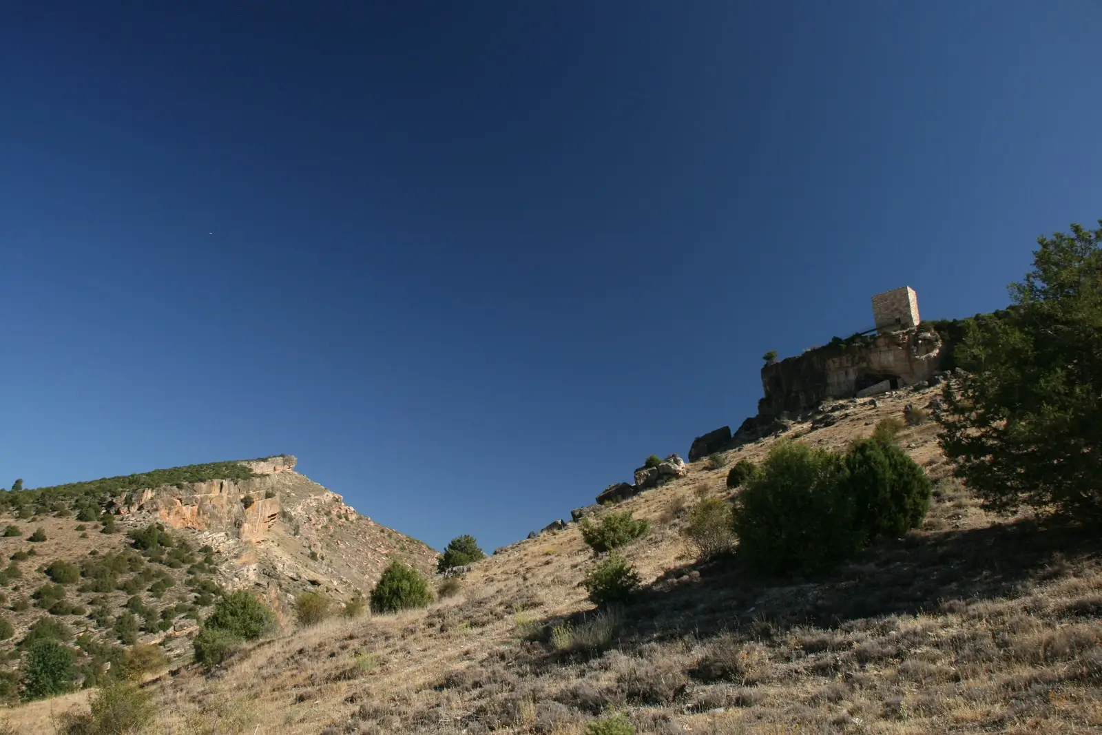
Trail 4: Valle de los Milagros (Riba de Saelices)
3 km · 1.5 h · Linear