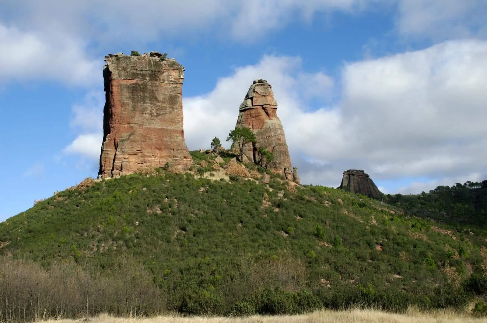
Archaeological site · Riba de Saelices
Valdeherreros-La Azafuera (Riba de Saelices): from Celtiberian village to Roman vicus
Valdeherreros-La Azafuera is an archaeological site opposite Los Casares cave, at the meeting of Valdeherreros stream and the Linares river in Riba de Saelices. A late Celtiberian settlement with pottery kilns stood here in the 2nd century BC and was destroyed in that century. After a century-long gap, a Roman imperial settlement followed, destroyed again in the 2nd century AD.
Lands and landscapes
From here, follow the memory of the territory
These readings connect Valdeherreros-La Azafuera (Riba de Saelices): from Celtiberian village to Roman vicus with the history, work, and villages around it.
This place across time
Which eras you can read here
A single place can preserve traces from different eras. These layers connect what you see with the stories in the atlas.
- Municipality
- Riba de Saelices
- Province
- Guadalajara
- Altitude
- 970 m
- Celtiberian and Roman
- Pottery kilns
- Opposite Los Casares
- Archaeoseismology
Across from the cave
Facing the Cueva de los Casares, on the left bank of the Valdeherreros stream where it joins the Linares or Salado river, in Riba de Saelices, lies a site recounting Rome’s arrival at the paramera.
Two lives, two destructions
- The first occupation is late Celtiberian, from the 2nd century BC: a pottery production area with stone structures for kilns, and adobe houses with thatch roofs. It was destroyed within that same century.
- After a century-long gap, the site was reoccupied in the imperial Roman era, as a small vicus dependent on the oppidum of Riba de Saelices. It was destroyed again in the 2nd century AD.
Researchers have even examined whether any of those destructions could have been caused by an earthquake.
Nearby
Above the cave stands the watchtower. More in Celtiberia.
Visiting
We must be clear: of all the Celtiberian sites in the Señorío, today only two are genuinely prepared for visitors, El Ceremeño in Herrería and Peña Moñuz in Olmeda de Cobeta. Valdeherreros-La Azafuera is scarcely adapted for the public: unarranged, almost without signposts, and with what can be seen with the naked eye very difficult to interpret without guidance. If you visit, do not stray from the paths, do not climb on walls, and do not collect anything from the ground.
Location
● Reference point · ● Villages · ● Places
Location diagram. Detailed map with tracks and names loads on zoom.
Reference villages: Riba de Saelices · Saelices de la Sal · Ablanque · Santa María del Espino.
Open the full map and historical layers →More archaeological sites and rock art nearby
View all →
Nearby routes
All routes →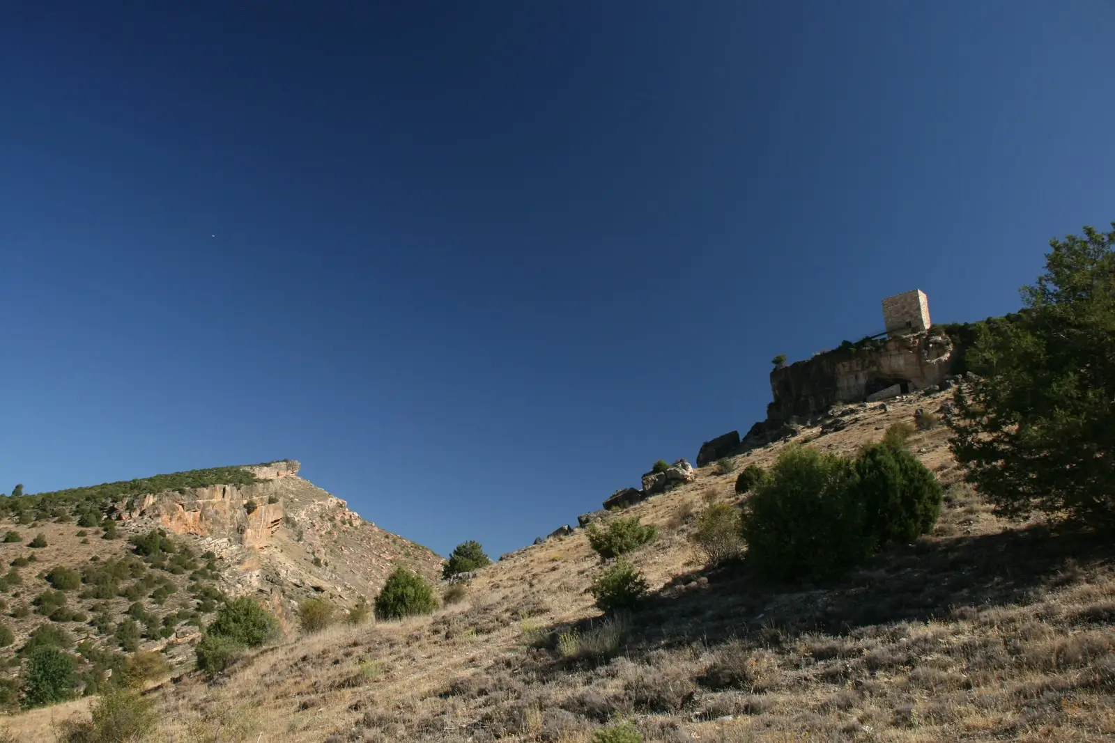
Trail 4: Valle de los Milagros (Riba de Saelices)
3 km · 1.5 h · Linear