Canyon · Riba de Saelices
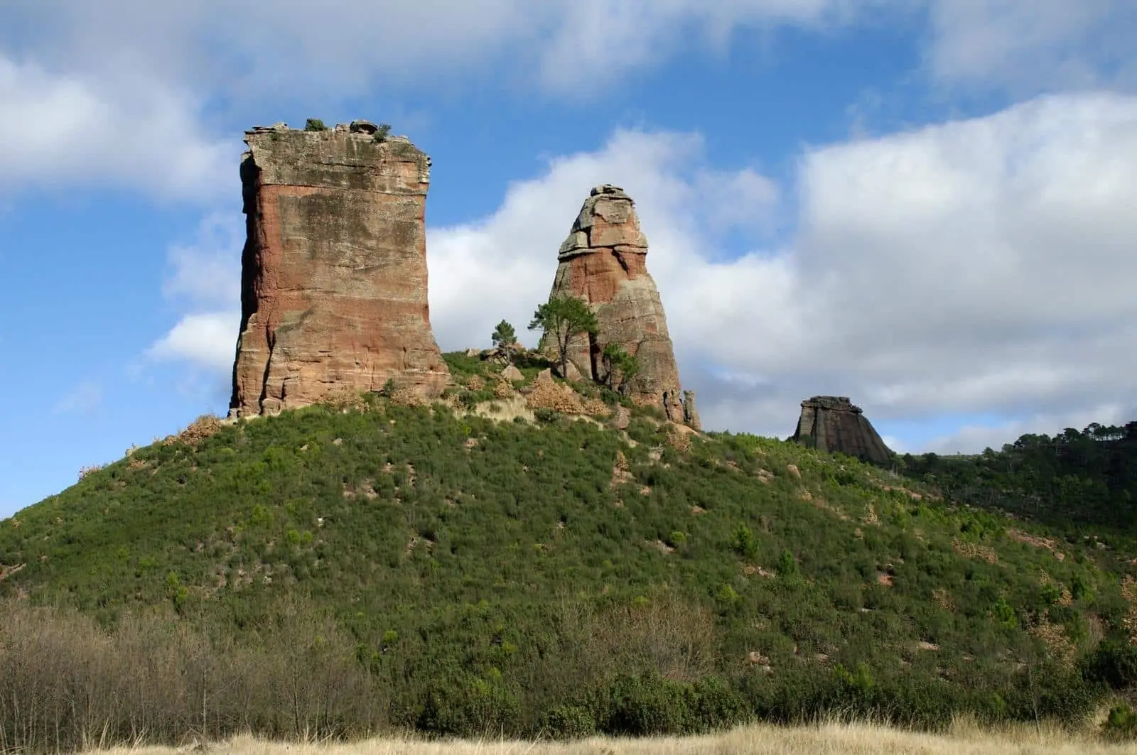
Valle de los Milagros: red sandstone towers in Riba de Saelices
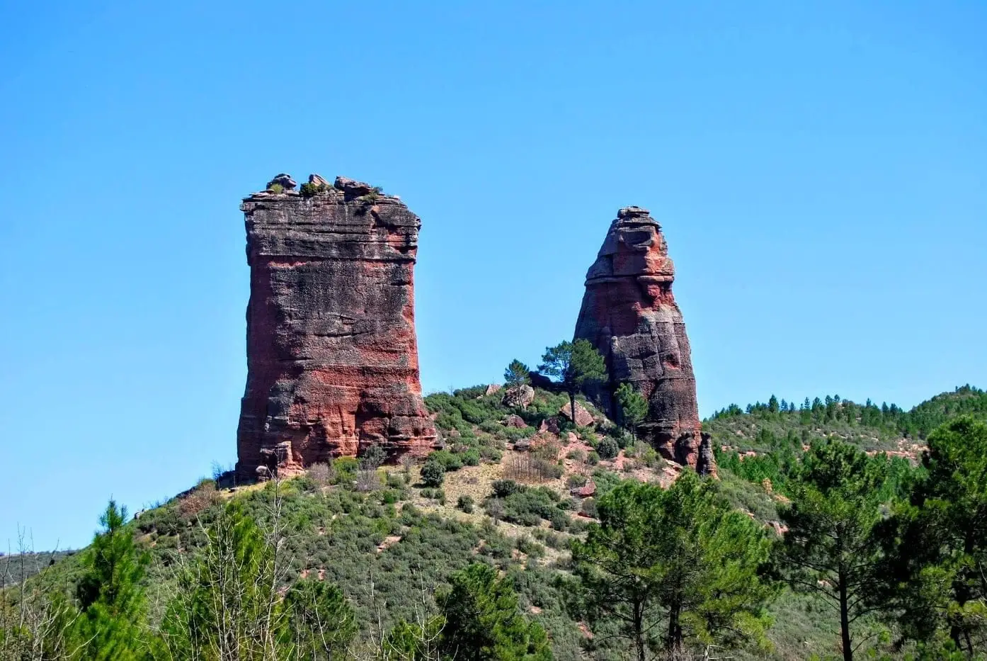
The Valle de los Milagros, in Riba de Saelices, is a valley carved by the Linares River into limestone, sandstone, and shale. Named after two large red sandstone towers, Puntal del Milagro and Peña Eslabrada, formed over 250 million years ago. Since the severe 2005 wildfire, they have become a symbol of landscape recovery.
Rivers and basins
The thread of water from Valle de los Milagros: red sandstone towers in Riba de Saelices
Follow these watercourses towards their confluences, villages, and basin history.
Lands and landscapes
From here, follow the memory of the territory
These readings connect Valle de los Milagros: red sandstone towers in Riba de Saelices with the history, work, and villages around it.
This place across time
Which eras you can read here
A single place can preserve traces from different eras. These layers connect what you see with the stories in the atlas.
- Best season
- Spring and autumn
- Municipality
- Riba de Saelices
- Province
- Guadalajara
- Red sandstone towers
- Linares River
- Triassic
- 2005 wildfire
- Near Cueva de los Casares
A journey through geological history
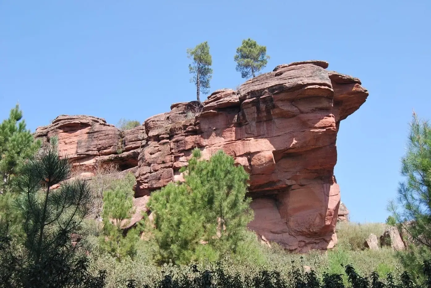
Walking through the valley is like crossing different chapters in Earth’s history. First come the limestones, formed on the floor of an ancient sea. Then the red sandstones, which are the fossilized riverbeds of large waterways from more than 250 million years ago. And finally the shales, very old rocks transformed by pressure and heat.
The two towers
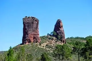
On an open flat beside the Linares River rise the two monoliths that give the valley its name: Puntal del Milagro, nearly cylindrical, and Peña Eslabrada, more pointed. They are the result of differential erosion: rock does not resist equally everywhere, and water, frost, and plant roots work into fissures until isolating entire blocks.
A symbol of recovery
In 2005, a wildfire that started just a few metres away, at the Cueva de los Casares recreation area, burned through the valley. The sparse tree cover seen today is the consequence of that fire, and the towers have become a symbol of the land’s recovery.
Very close by
Cueva de los Casares, with its Paleolithic cave art, is right next door. The georoute of Valle de los Milagros explains the whole area.
Planning the visit
Set aside part of the day for the valley and another for Los Casares if you have a confirmed booking. A georoute can combine different stops; check which sections you will walk.
Before you go
Bring water and sun protection. Do not extend the walk to connect every point if that compromises getting back in daylight; respect regenerating vegetation.
Pairing your trip
Continue to Cueva de los Casares. Check its page to see if it fits into your visit.
Photo: El Observario
Frequently asked questions
What are Los Milagros?
Two large towers of Lower Triassic red sandstone and conglomerate: Puntal del Milagro, nearly cylindrical, and Peña Eslabrada, more pointed.
Why is there so little vegetation?
Because in 2005 a major wildfire that started nearby, at the Cueva de los Casares recreation area, swept through much of the valley. The landscape is still recovering.
Location
● Reference point · ● Villages · ● Places
Location diagram. Detailed map with tracks and names loads on zoom.
Approximate position: village centre.
Reference villages: Riba de Saelices · Saelices de la Sal · Ablanque · Esplegares.
Open the full map and historical layers →More canyons and gorges nearby
View all →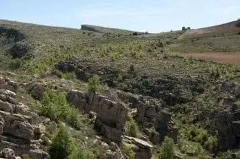
Nearby routes
All routes →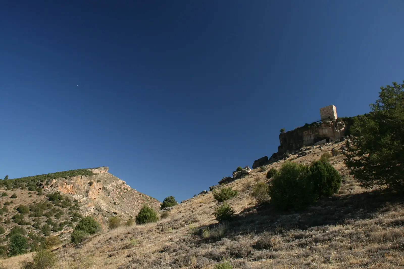
Trail 4: Valle de los Milagros (Riba de Saelices)
3 km · 1.5 h · Linear