Episode · Roman period – 20th century · Salt, iron and timber
Roads of wool, salt and timber
Alto Tajo was a crossroads. Each autumn flocks from the Lordship of Molina, numbering over half a million animals in the 15th century, followed livestock trails towards Sierra Morena and Valle de Alcudia. Dealers, muleteers and salt travelled other roads; timber travelled the river. Many routes are now long-distance walking trails.
A territory to cross
Today Alto Tajo seems remote, at the end of every road. For centuries it was a crossroads between Castile, Aragón, Valencia and Andalusia. Flocks, dealers, muleteers, salt and timber passed through. Almost everything called heritage today, from a bridge to a wayside pillar, stands there because someone needed to pass.
Before the livestock trails
Roads are older than their names. Castil-Griegos hillfort in Checa stands beside a livestock route associated with Cañada Conquense, suggesting crossings mattered in the Iron Age. Historian Pedro José Pradillo links Zaorejas’s aqueduct with a Roman stage on the Laminio–Caesaraugusta road; others locate it elsewhere, and debate continues.
Wool: the Señorío’s gold
From 1273 the Honrado Concejo de la Mesta protected Castile’s transhumant livestock owners; Molina was a major wool producer. Antonio Herrera Casado records over 500,000 sheep in Tierra de Molina in 1477, out of around 2.7 million in Castile. In the 16th century numbers exceeded 750,000. Livestock owners met at fixed places such as Ventosa and Torrejón de Traid on appointed late-summer dates.
Flocks descended in autumn and returned in spring through cañadas, cordeles and veredas. Cañada de Molina entered Cuenca at Alcobujate and continued through Uclés towards Ciudad Real; Cañada de Beteta also left the Señorío. Cañada de Rodrigo Ardaz crossed the Park directly: over the Tagus at its namesake bridge in Peralejos, into Cuenca through Cueva del Hierro, then through Masegosa, Las Majadas and Chillarón to Villar de Olalla, joining Cañada Real Conquense, or de los Chorros, towards Sierra Morena. A royal vereda descended from Aragón through the Mesa valley and Molina’s mountains to Peralejos and Puente del Martinete; Tagüenza bridge carried livestock from Soria towards Andalusia.
Seven months away
In the 20th century shepherds from Peralejos, Alustante, Orea and Checa still left each autumn at the first frosts for Valle de Alcudia, Ciudad Real, and Andújar and La Carolina, Jaén. They chiefly used three royal trails, including “de Ruidera” towards Sierra Morena and “Los Espartales” towards Alcudia. Walking took fifteen or twenty stages, though shepherds give longer figures: Paco Casado of Orea says 22 to 24 days to La Carolina; a Valsalobre shepherd recalls a whole month to Córdoba. Later they walked to Chillarón de Cuenca, on Cañada de Rodrigo Ardaz, and took trains the rest of the way. Today they use lorries.
Paco Casado practised transhumance over forty years: around ten to La Carolina and over thirty to Valle de Alcudia. They left in early November and returned in late May. He recalls one journey on the “middle” trail and another on “El Picazo”, crossing Cuenca and a little Albacete. Each carried a day’s shoulder bag; at night they cooked hot food and watched the flock in turns, sleeping outdoors or in a tent, mares carrying blankets and provisions. Owners from Guadalajara, Cuenca and Teruel — Orea, Checa, Guadalaviar and Tragacete — combined flocks to fill twenty or thirty wagons. In the south they rented private estates and left the train at the nearest station.
They returned after seven months. Repeated journeys left marriages between southern and mountain people, families settling there and, local accounts say, whitewashed, geranium-filled façades in livestock villages such as Checa. In Orea, Los Neveros cliffs marked the royal trail bringing flocks from Sierra Morena.
The Señorío’s last transhumant flocks
In 1992 the former ICONA’s Cuadernos de la Trashumancia counted remaining flocks. Only three Sexma de la Sierra villages — Checa, Orea and Peralejos — still went south, with nineteen sheep flocks, three cattle herds and around 20,000 transhumant sheep. Checa was exceptional: fifteen owners with 13,499 sheep, over 96% of all its livestock. Residents recall as many as 40,000 animals. That fits poorly with the 1992 census, but conveys its former scale.
In summer Checa’s and Orea’s flocks grazed Sierra Molina’s communal woodland, almost 7,800 hectares, owned by the Community of the Royal Lordship of Molina and its Land. Owners used it in turns: some stayed within village territory each year, others in the mountains.
The outward journey began on foot. From Sierra de Molina they descended Azagador ravine, crossed the Tagus, joined Vega del Codorno’s flocks and followed Cañada de Rodrigo Ardaz. They slept at the same places: Las Huesas first, Arroyo de las Truchas second, then Villalba de la Sierra and Embid’s passes, ending beside Chillarón station. It loaded more transhumant livestock than any Spanish station, despite lacking a platform: sheep climbed planks into wagons. Boarding ran from early November to 10 December; returns from 5 May to 25 June. RENFE set the calendar, rather than weather or grass.
Checa had many young livestock owners: winter in the south was preferable to frozen, empty mountains. Some had girlfriends there; others had married in Andalusia.
Rail was first to decline. In November 1992 RENFE required at least thirty levels, ten wagons and around 3,000 sheep per train, paid in advance. Livestock transport halved that month, and flocks switched to lorries. Lamb prices, winter-estate costs and lack of successors did the rest. In February 2024 Checa’s last sheep farm sold its 900 animals. The village retains its livestock museum.
Dealers, muleteers and salt
Camino de los Tratantes connected Molina, Albarracín and Teruel fairs; today it runs from Molina to Motos through Otilla, Piqueras and Alustante. Muleteers carried whatever was needed. Checa’s farmers brought fuel and ore to ironworks, carried goods by cart or left seasonally for charcoal burning or oil mills.
Salt had roads whose names remain: Senda Salinera in Zaorejas, Cañada Salinera in Traid and Camino de las Salinas in Tierzo beside Armallá. The greatest road was the river, carrying timber in log drives.
Signs at junctions
Pairones, stone pillars topped with crosses or niches, stand at the Señorío’s road junctions. They marked routes, protected travellers and recalled vows or misfortunes. Examples stand in Taravilla, Chequilla, Megina, Orea and Peralejos, and Armallá’s saltworks.
A tunnel made through communal work
Until the 1960s Huertapelayo was reached through El Portillo, a narrow rocky passage for people and animals. Needing a road, villagers opened a tunnel with dynamite, without public funds, through hacendera, communal work to which every household contributed labour and money. Daily teams placed dynamite, fired it, removed rubble and levelled the surface. Mayor Bienvenido Villaverde Embid led them; today’s community centre bears his name. The road now crosses the rock beside El Chorrero waterfall, evidence that villagers also made their own roads.
Today’s roads
Many routes survive. GR-10 crosses the Park from Aragón towards Portugal on old paths; GR-113, Camino Natural del Tajo, follows the river; GR-168, Camino Real de Aragón, restores the Madrid–Zaragoza road; Camino del Cid crosses the Señorío following the epic poem. Walking means following centuries of shepherds, dealers and saltworkers.
A road within a life
Isidro García Gómez’s family in Checa remembered successive livestock journeys: walking south, then combining walking and trains, later lorries. His story puts a person behind the routes.
Other road names survived in boundary documents. Sierra Molina’s boundary shows how knowing a territory required knowing its names.
Vocabulary
- Piso
- Each level in a livestock railway wagon, holding around a hundred sheep.
- Hacendera
- Compulsory communal work repairing village roads, springs and irrigation channels.
- Cañada real
- The largest livestock route, 90 Castilian varas wide, around 75 metres. Royal because the Crown charged users dues.
- Cordel and vereda
- Smaller livestock routes, roughly half and a quarter of a cañada’s width.
- Agostadero and invernadero
- Mountain summer pastures and winter grazing in warmer southern lands.
- Mesta
- The powerful association of Castilian transhumant livestock owners, the Honrado Concejo de la Mesta, operating from 1273 to 1836.
- Tratante
- A livestock dealer buying and selling animals at fairs and markets.
- Arriero
- A carrier using working animals. Many in the Señorío left seasonally, like transhumant shepherds.
- Pairón
- A stone pillar topped by a cross or niche, typical of the Lordship of Molina, standing at road junctions.
Where to see it today
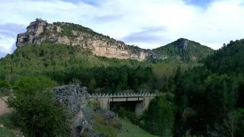
Puente del Martinete: the first major bridge over the Tagus
Peralejos de las TruchasPuente de Tagüenza: the old crossing between Huertapelayo and Huertahernando
Huertahernando, Huertapelayo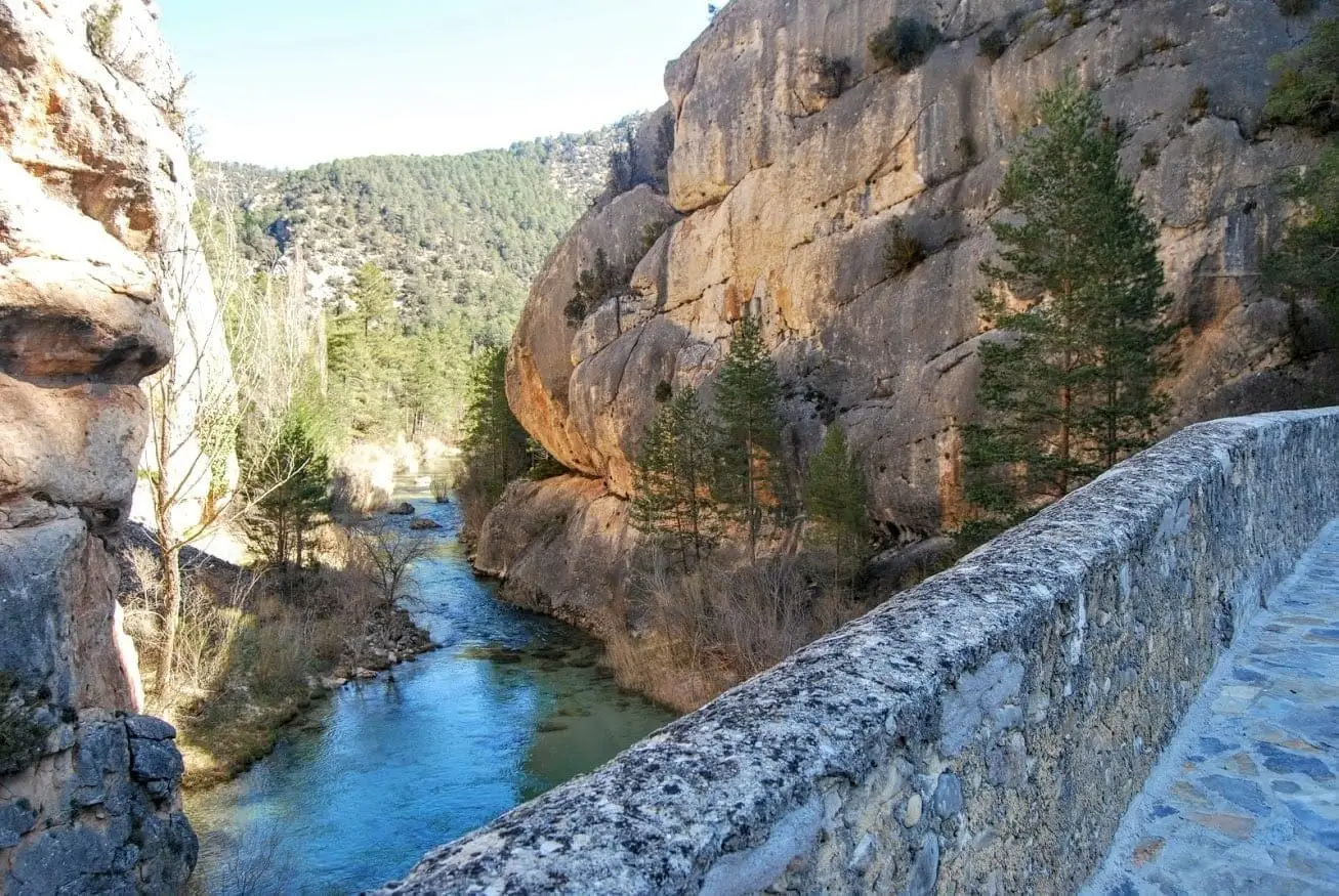
Peñalén Bridge or Puente del Tío Lucas: a 1943 crossing between rock fins
Peñalen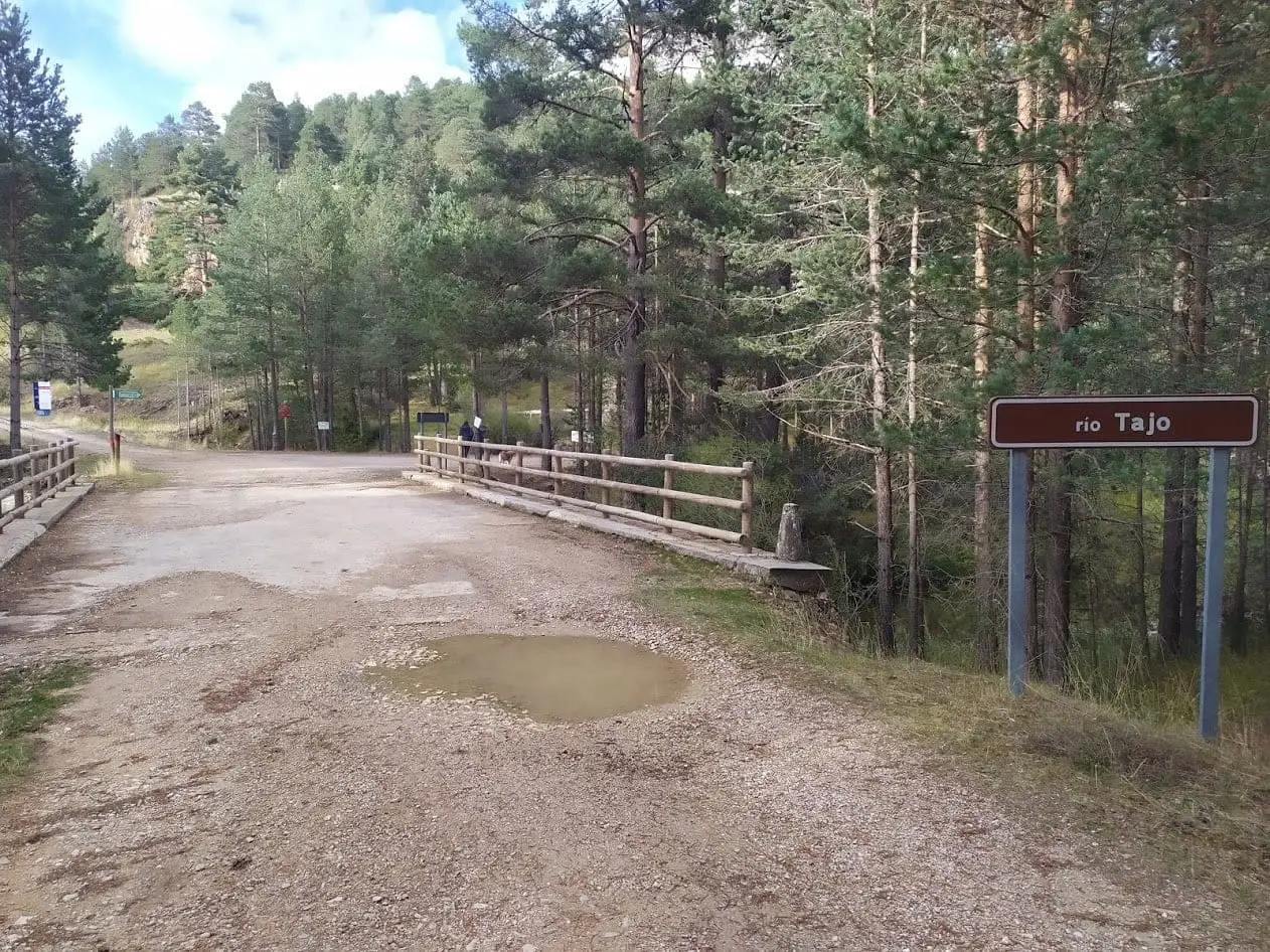
Puente de las Tres Provincias (Valdeminguete): where the Alto Tajo begins
Checa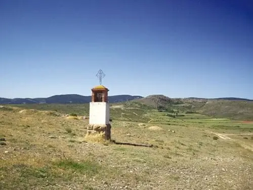
The Camino de los Tratantes: from Molina de Aragón to Motos
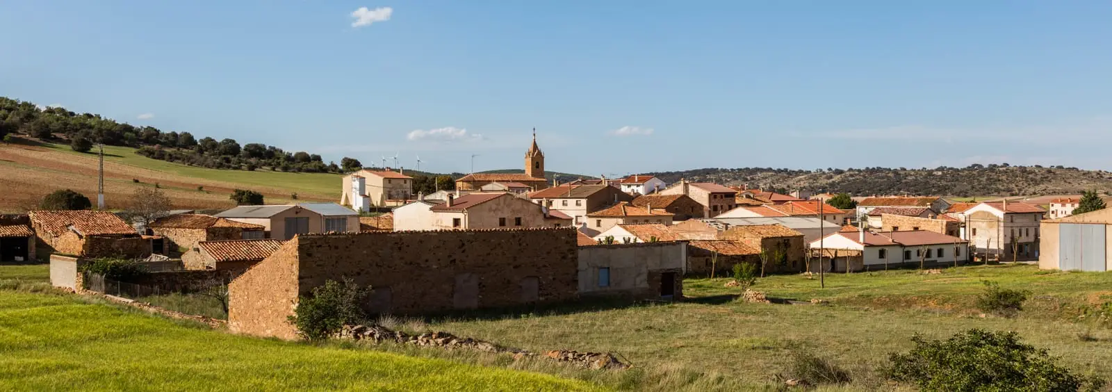
GR-160, Camino del Cid, through the Señorío de Molina
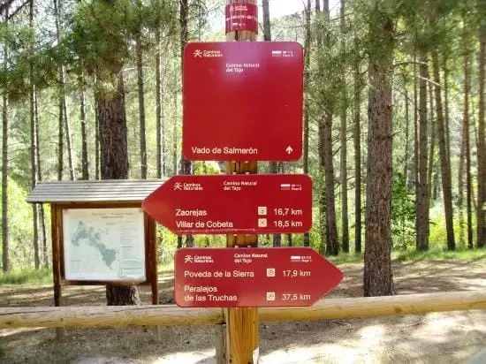
GR-113, Camino Natural del Tajo, through the Alto Tajo
135 km · 35 h · LinearGR-10 (E7) through the Alto Tajo: the Valencia to Lisbon trail
130 km · 32 h · Linear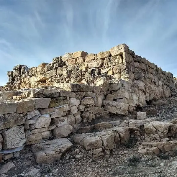
Castro de Castil-Griegos (Checa): Iron Age beside the Aguaspeña
Checa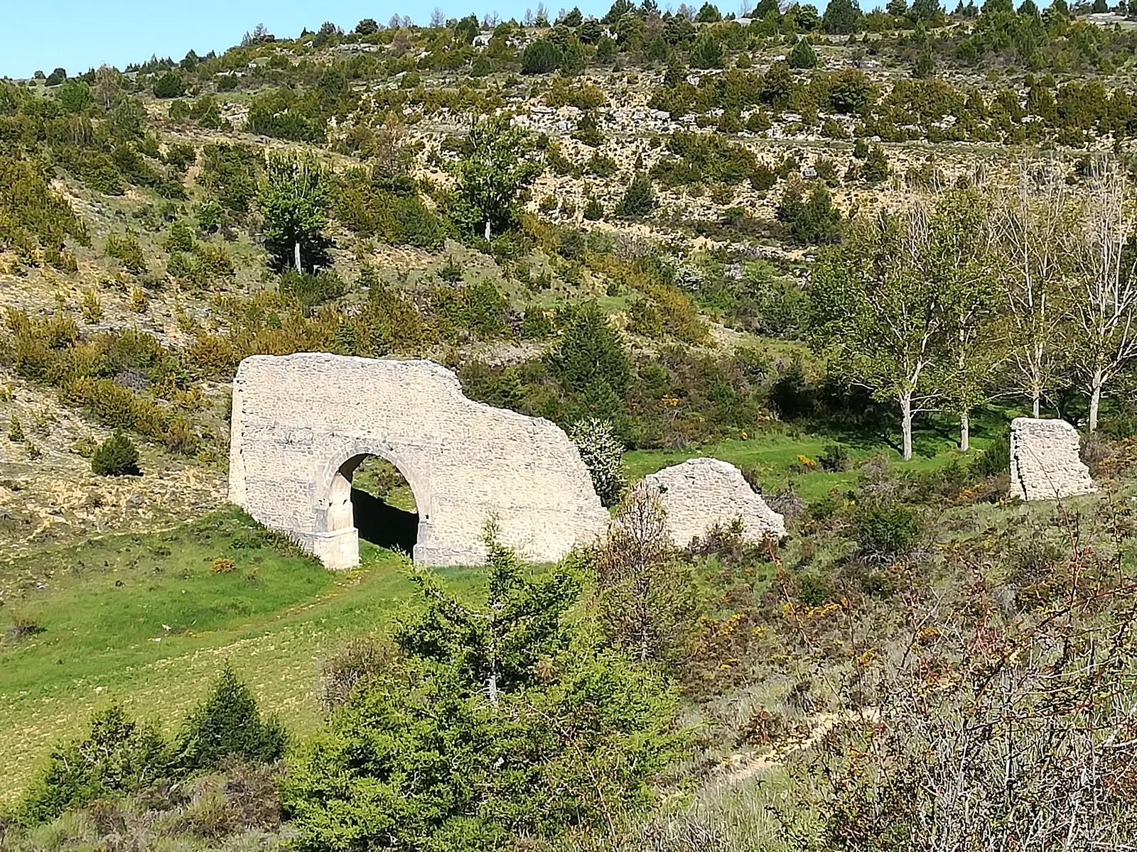
Aqueduct of Zaorejas: the 'Roman bridge' of Fuentelengua ravine
ZaorejasFrequently asked questions
Which livestock trails crossed Alto Tajo?
The closest associated with the Park is Cañada de Rodrigo Ardaz. Starting in Guadalajara, it crosses the Tagus at Rodrigo Ardaz bridge in Peralejos, enters Cuenca through Cueva del Hierro and joins Cañada Real Conquense at Villar de Olalla. Cañada de Molina, towards Uclés and Ciudad Real, and Cañada de Beteta also left the Señorío.
Where did Alto Tajo’s transhumant shepherds go?
From Peralejos, Alustante, Orea and Checa they descended in autumn to Valle de Alcudia in Ciudad Real and Andújar and La Carolina in Jaén. Walking took fifteen or twenty stages, and they spent around seven months away before returning in spring.
What is Camino de los Tratantes?
The route followed for centuries by livestock dealers, merchants and farmers between Molina de Aragón, Albarracín and Teruel. Today it is a roughly 58-kilometre trail from Molina to Motos through Otilla, Piqueras and Alustante.
Sources and readings
- Ministerio de Agricultura / MITECO: Estudio de las vías pecuarias de Albarracín, Cuenca y Molina (cap. 9, «Uso de las vías pecuarias»).
- Herrera Casado, A.: «Las cañadas de la Mesta por Molina» (2000).
- Chavarría, A. L.: «Tiempos de transhumancia». Boletín del Parque Natural del Alto Tajo «El río que nos lleva», n.º 2.
- Boletín del Parque Natural del Alto Tajo n.º 5: Los Neveros de Orea, hito de la Cañada Real.
- Núñez Martí, P.: tesis sobre los refugios de la cuenca alta del Tajo, Anexo VII (glosario de vías pecuarias).
- El Alfolí, n.º 12 (2013): toponimia salinera de Guadalajara.
- López de los Mozos, J. R.: Pairones del Señorío de Molina (1996).
- Pradillo, P. J.: estudio del acueducto de Zaorejas.
- Bacaicoa, I.; Elías, J. M. y Grande, J.: Cuadernos de la Trashumancia n.º 8. Albarracín-Cuenca-Molina. ICONA, 1993.
- «Cierra la última ganadería del pueblo que llegó a tener 40.000 cabezas», El Digital Castilla-La Mancha, 8-2-2024.
- «Sin pastores no hay paisaje: Paquito, trashumante de la Comarca del Señorío de Molina y Alto Tajo», Los Ojos de la Tierra.
- Herrera Casado, A.: «Huertapelayo recóndito», Los Escritos de Herrera Casado, 2015.
Further reading on the history of this land. Full bibliography.
Next story: Festivals and rites: soldiers, devils, brotherhoods and pilgrimages