Village · Guadalajara · 1,283 m
Anquela del Pedregal
Anquela del Pedregal is one of the smallest villages in the Señorío, at nearly 1,300 metres, on the high plains of the Sexma del Pedregal south of Molina. It went from over 300 inhabitants in 1900 to a few dozen today. Madoz also called it Anquela la Seca and Anquelilla.
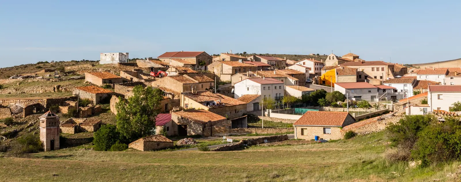
Traces in the village and its surroundings
Which eras you can read here
A single place can preserve traces from different eras. These layers connect what you see with the stories in the atlas.
High on the Pedregal
Anquela del Pedregal stands at about 1,280 metres, on the high plateau of the historical Sexma del Pedregal, one of four districts of the Tierra de Molina. In the mid-19th century, Madoz’s geographical dictionary also recorded it as Anquela la Seca and Anquelilla, counting 222 inhabitants.
A village that emptied
In 1900 it had more than 300 residents; today there are a few dozen. Its population curve, on this same page, illustrates the exodus from the paramera, discussed in the abandoned settlements.
A dual-enclosure hillfort
Within its municipality is the El Castillejo hillfort, occupied in the Late Bronze Age and in Celtiberian times. It is not prepared for visitor access.
Nearby
It is surrounded by similarly small villages: Morenilla, Torrecuadrada de Molina, Tordellego and Chera, next to the castro de La Coronilla.
Places in and around Anquela del Pedregal
Near Anquela del Pedregal
Fortified house of La Bujeda (Traíd)
TraídCastro de La Coronilla (Chera): an excavated Celtiberian hillfort
CheraHombrados Open-Air Museum: farm machinery in the streets
HombradosHermitage of the Virgen de la Carrasca: Romanesque in Sierra de Caldereros
Castellar de la MuelaEthnographic Museum of El Pobo de Dueñas
El Pobo de Dueñas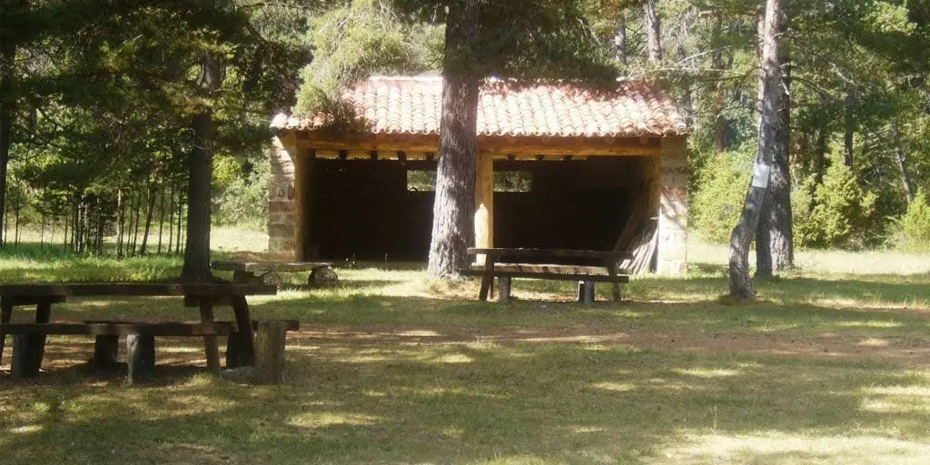
El Ojillo recreation area (Adobes)
Adobes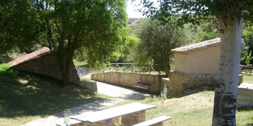
El Espinar recreation area (Adobes)
Adobes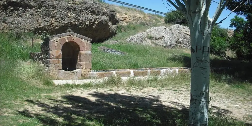
El Cañuelo recreation area (Adobes)
AdobesPopulation of Anquela del Pedregal, 1842–2021
Anquela del Pedregal reached a peak of 346 inhabitants in 1910 . In the 2021 census there were 25 , a decrease of 93%. This is the history told in the emptying of the Alto Tajo.
Climate in Anquela del Pedregal month by month
2015–2024 averages from Copernicus ERA5 reanalysis for an altitude of approx. 1,283 m. Useful for planning, not a substitute for live forecasts.
Location
● Reference point · ● Villages · ● Places
Location diagram. Detailed map with tracks and names loads on zoom.
Reference villages: Morenilla · Torrecuadrada de Molina · Chera · Tordellego.
Open the full map and historical layers →