Recreation area · Villanueva de Alcorón
Sima de Alcorón recreation area
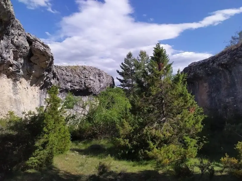
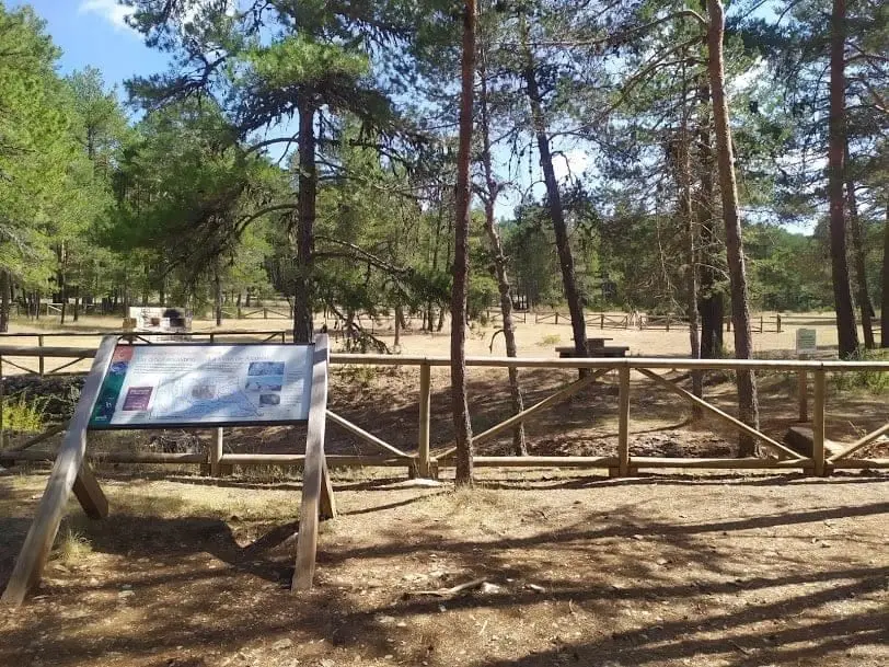
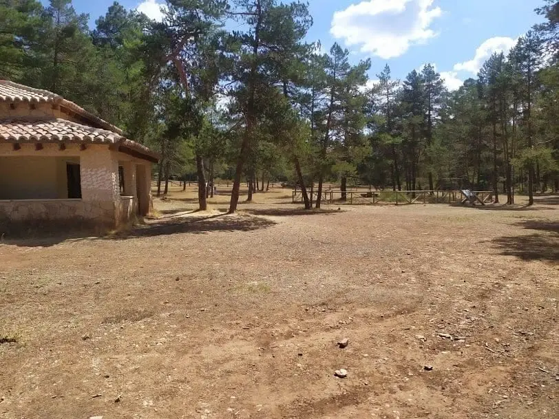
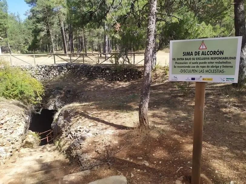
Sima de Alcorón recreation area is at kilometre 5 of the CM-2101 between Peñalén and Villanueva de Alcorón, set slightly inside the pine woods. Its prime attraction is the chasm, the only one in the Park fitted with stairs descending over 60 metres.
Lands and landscapes
From here, follow the memory of the territory
These readings connect Sima de Alcorón recreation area with the history, work, and villages around it.
- Municipality
- Villanueva de Alcorón
- Province
- Guadalajara
- Altitude
- 1,330 m
- Accessible chasm
- CM-2101
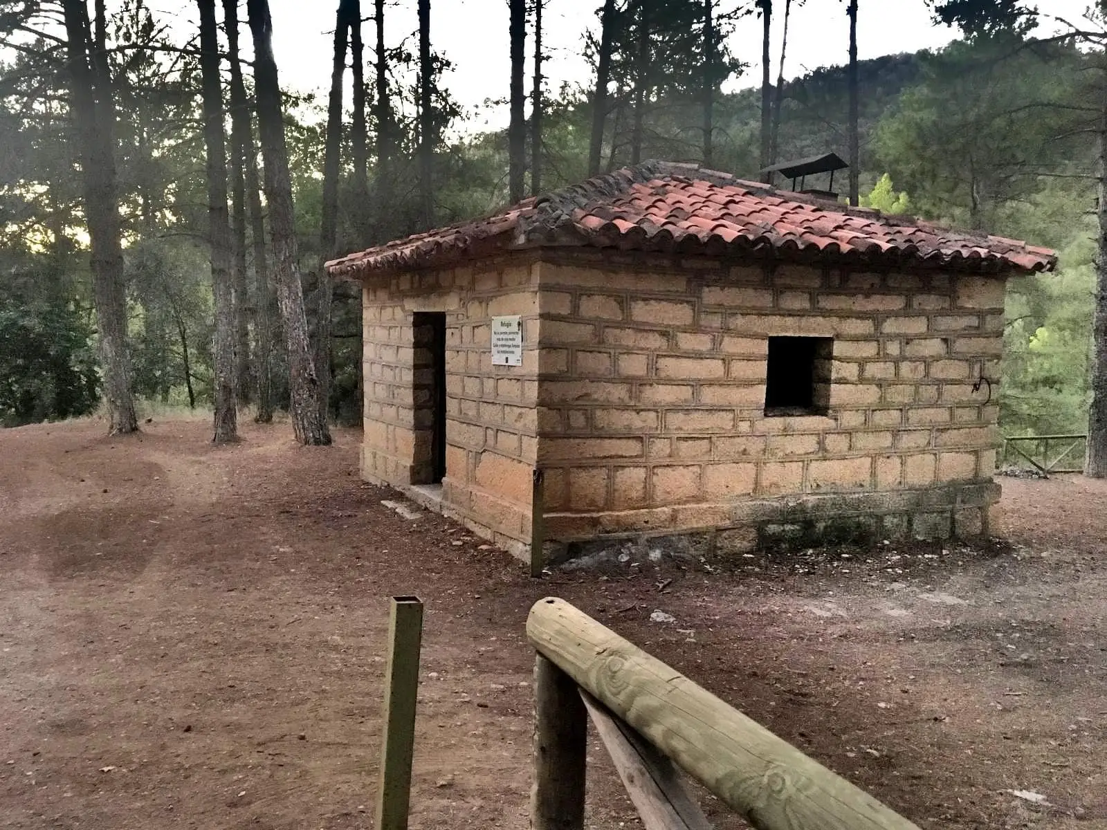
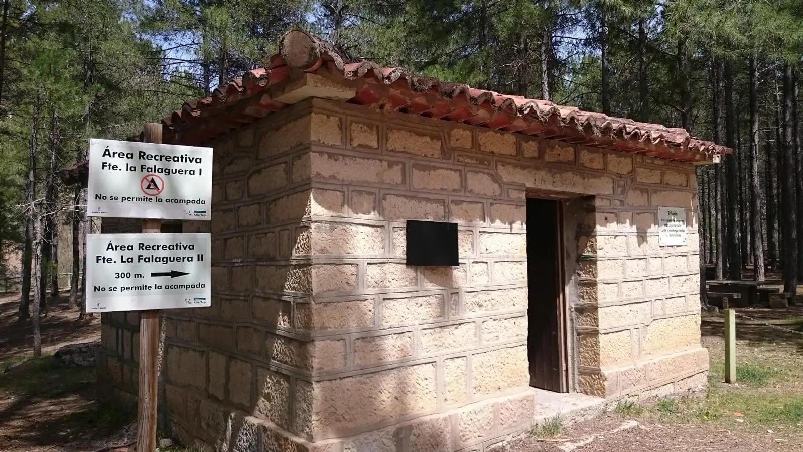
- La Zapatilla shelter
Descend into Sima de Alcorón and take a break afterward at the La Zapatilla shelter.
Good conduct
The Natural Park provides no rubbish collection service: carry all waste back to village bins. Lighting fires is permitted solely in authorised facilities and outside high-risk fire seasons; check current regulations.
Photo: El Observario
Location
● Reference point · ● Villages · ● Places
Location diagram. Detailed map with tracks and names loads on zoom.
Reference villages: Villanueva de Alcorón · Zaorejas · Peñalen · Valsalobre.
Open the full map and historical layers →