Route · Villanueva de Alcorón
Sendero 7: Trail 7: the lime kilns of Villanueva de Alcorón
Flat circular walk of 6.3 km and 2.5 hours through El Palancar near Villanueva de Alcorón, low difficulty. Visits three historic lime kilns (one restored) and crosses pine woods with Scots, black, and maritime pine. Explains traditional timber, mushroom, lime, and resin trades.
Lands and landscapes
From here, follow the memory of the territory
These readings connect Trail 7: the lime kilns of Villanueva de Alcorón with the history, work, and villages around it.
This place across time
Which eras you can read here
A single place can preserve traces from different eras. These layers connect what you see with the stories in the atlas.
- Code
- Sendero 7
- Distance
- 6.3 km
- Duration
- 2.5 h
- Trail type
- Circular
- Difficulty
- Easy
- Altitude
- 1,278 m
Walking duration without transfers or stops. Difficulty rated according to the official source; verify its conditions and notices. “Easy” does not imply wheelchair or stroller accessibility.
- Sendero 7
- Flat circular
- Three lime kilns
- Three pine species
- Formerly RE PNAT 4
The lime-burner’s trade
In traditional lime kilns (caleras) limestone was fired to produce quicklime, the foundation of historic mortars and whitewashes. To exceed 900 °C, juniper and gorse brushwood were burned continuously for 5 to 10 days under constant watch. An interpretive panel beside the restored kiln details the firing process.
Three pine species together
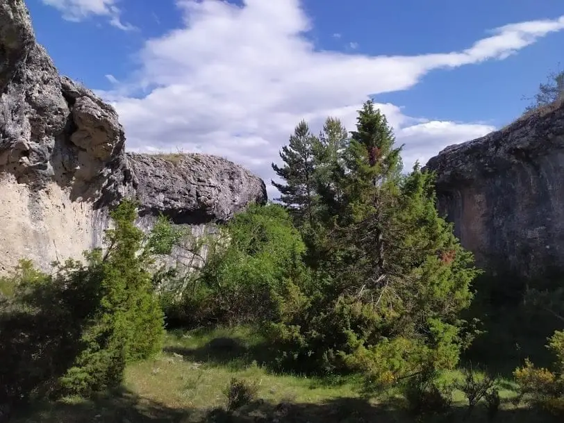
The trail departs from an unpaved track in Villanueva de Alcorón, passes a small trail shelter, and enters dense Scots pine forest with scattered gall oaks. Here Scots pine, black pine, and maritime pine co-occur—species that typically occupy distinct soils elsewhere: high rainfall (around 900 mm annually) leaches the limestone and brings the soil close to neutral pH. Stops discuss timber, wild mushrooms, lime, and resin.
Attention
On the final stretch parallel to the road, markers can easily be missed. Nearby lies Sima de Alcorón.
Before you set out
Carry water, mountain footwear, and download the GPS track in advance: mobile reception is absent in many areas. Check the forecast on Today in the Alto Tajo and the official trail sheet for notices and closures, and respect seasonal restrictions during raptor breeding periods.
Official route · Parque Natural del Alto Tajo (Junta de Castilla-La Mancha). Description, track and notices on the official guide. Before setting out, verify there whether changes or closures apply.
Location
● Reference point · ● Villages · ● Places · ━ Simplified official route
Location diagram. Detailed map with tracks and names loads on zoom.
Reference villages: Villanueva de Alcorón · Armallones · Zaorejas · Huertapelayo.
Open the full map and historical layers →